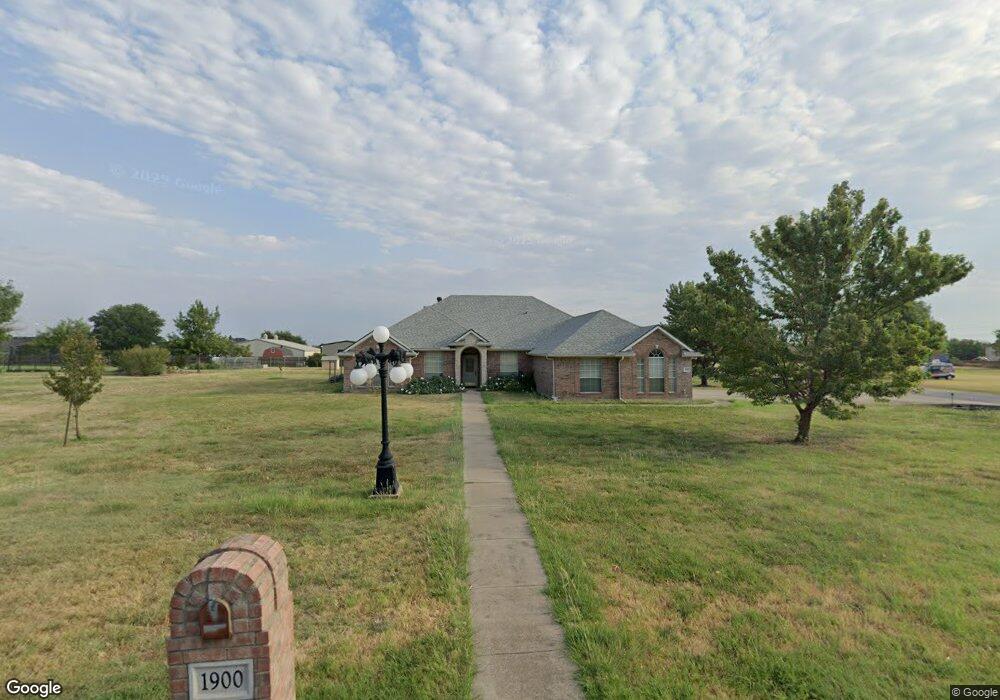
1900 White Cloud Ct Haslet, TX 76052
Haslet AreaEstimated Value: $616,000 - $631,000
About This Home
This home is located at 1900 White Cloud Ct, Haslet, TX 76052 and is currently estimated at $624,335, approximately $273 per square foot. 1900 White Cloud Ct is a home located in Tarrant County with nearby schools including Carl E. Schluter Elementary School, Leo Adams Middle School, and V.R. Eaton High School.
Ownership History
We collect this data history from publicly available records. To have your information removed, we recommend requesting removal directly through your county’s website.
Purchase Details
Home Financials for this Owner
Home Financials are based on the most recent Mortgage that was taken out on this home.Home Values in the Area
Average Home Value in this Area
Purchase History
We collect this data history from publicly available records. To have your information removed, we recommend requesting removal directly through your county’s website.
| Date | Buyer | Sale Price | Title Company |
|---|---|---|---|
| -- | Alamo Title Company |
Mortgage History
We collect this data history from publicly available records. To have your information removed, we recommend requesting removal directly through your county’s website.
| Date | Status | Borrower | Loan Amount |
|---|---|---|---|
| Open | $120,000 |
Tax History
We collect this data history from publicly available records. To have your information removed, we recommend requesting removal directly through your county’s website.
| Year | Tax Paid | Tax Assessment Tax Assessment Total Assessment is a certain percentage of the fair market value that is determined by local assessors to be the total taxable value of land and additions on the property. | Land | Improvement |
|---|---|---|---|---|
| 2025 | $1,710 | $545,555 | ||
| 2024 | $1,683 | $577,245 | $119,618 | $457,627 |
| 2023 | $7,506 | $566,257 | $75,000 | $491,257 |
| 2022 | $7,924 | $437,716 | $75,000 | $362,716 |
| 2021 | $7,962 | $372,622 | $75,000 | $297,622 |
| 2020 | $7,817 | $373,953 | $75,000 | $298,953 |
| 2019 | $7,945 | $375,284 | $75,000 | $300,284 |
| 2018 | $1,593 | $333,285 | $45,000 | $288,285 |
| 2017 | $6,913 | $327,744 | $45,000 | $282,744 |
| 2016 | $6,284 | $323,198 | $45,000 | $278,198 |
| 2015 | $3,941 | $264,600 | $46,000 | $218,600 |
| 2014 | $3,941 | $264,600 | $46,000 | $218,600 |
Map
- 1901 Saw Tooth Ct
- 11169 Roxburgh Rd
- 11165 Roxburgh Rd
- 11161 Roxburgh Rd
- 11149 Roxburgh Rd
- 11129 Roxburgh Rd
- 11101 Woodcroft Rd
- 1760 Mayton Ave
- 11140 Boyne Ave
- 11136 Carham St
- 11220 Abbotsbury Rd
- 11225 Bolsover Blvd
- 11465 Wulstone Rd
- 11417 Wulstone Rd
- 11216 Bolsover Blvd
- 11212 Bolsover Blvd
- 11208 Bolsover Blvd
- 11456 Wulstone Rd
- 11204 Bolsover Blvd
- 11200 Bolsover Blvd
- 1912 White Cloud Ct
- 10972 Blue Sky Dr
- 1901 White Cloud Ct
- 10964 Blue Sky Dr
- 1901 Saw Tooth Ct Unit 156
- 1924 White Cloud Ct
- 10980 Blue Sky Dr
- 10956 Blue Sky Dr
- 1913 Saw Tooth Ct
- 1949 White Cloud Ct
- 11000 Blue Sky Dr
- 1936 White Cloud Ct
- 10949 Blue Sky Dr
- 1925 Saw Tooth Ct
- 10948 Blue Sky Dr
- 1961 White Cloud Ct
- 1900 Saw Tooth Ct
- 1912 Saw Tooth Ct
- 1937 Saw Tooth Ct
- 1948 White Cloud Ct
Ask me questions while you tour the home.