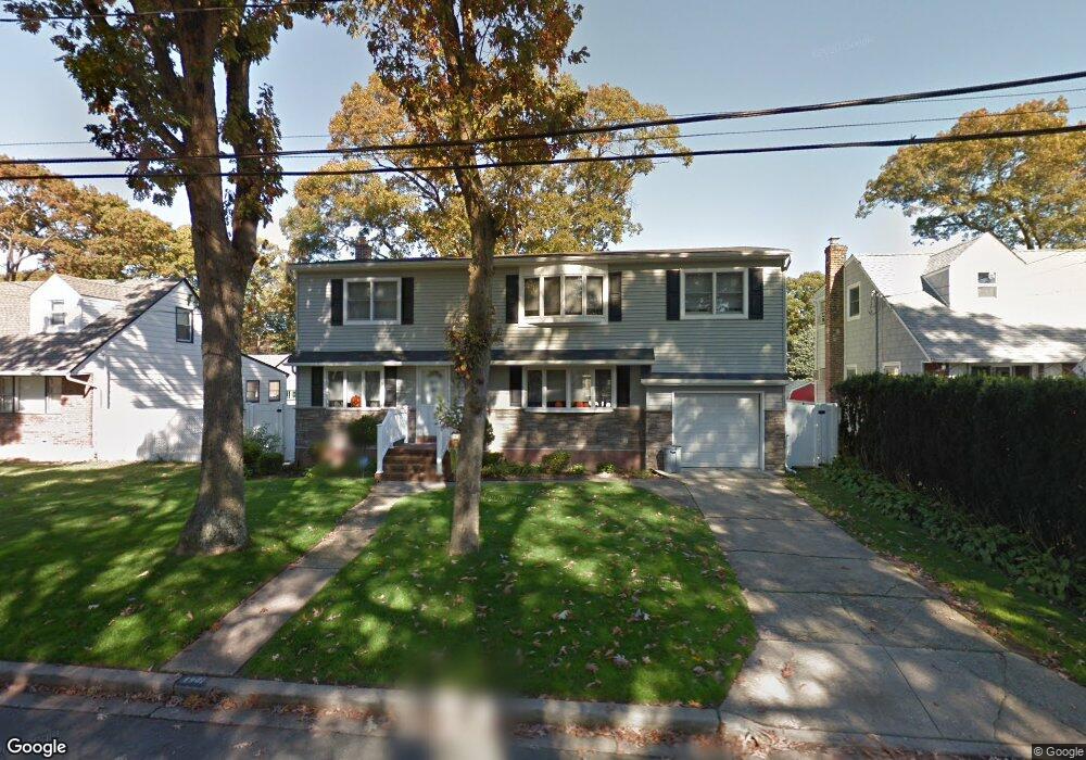
1901 Carroll Ave Merrick, NY 11566
Estimated Value: $870,000 - $926,532
5
Beds
2
Baths
2,092
Sq Ft
$429/Sq Ft
Est. Value
About This Home
This home is located at 1901 Carroll Ave, Merrick, NY 11566 and is currently estimated at $898,266, approximately $429 per square foot. 1901 Carroll Ave is a home located in Nassau County with nearby schools including Merrick Avenue Middle School, Sanford H Calhoun High School, and Grace Christian Academy.
Ownership History
Date
Name
Owned For
Owner Type
Purchase Details
Closed on
Oct 19, 2010
Sold by
Ucciardo Dorothy M and Nalick Dawn
Bought by
Ecker Joseph E and Ecker Norica
Current Estimated Value
Home Financials for this Owner
Home Financials are based on the most recent Mortgage that was taken out on this home.
Original Mortgage
$330,000
Outstanding Balance
$218,429
Interest Rate
4.41%
Mortgage Type
Purchase Money Mortgage
Estimated Equity
$679,837
Purchase Details
Closed on
Nov 18, 2009
Sold by
Ucciardo Dorothy M
Bought by
Ucciardo Dorothy M and Nalick Dawn
Purchase Details
Closed on
Sep 22, 2009
Sold by
Ucciardo Dorothy M and Nalick Dawn
Bought by
Ucciardo Dorothy M
Purchase Details
Closed on
Apr 2, 2008
Sold by
Addamo Mary
Bought by
Ucciardo Dorothy
Purchase Details
Closed on
Nov 15, 2006
Sold by
Addamo Mary
Create a Home Valuation Report for This Property
The Home Valuation Report is an in-depth analysis detailing your home's value as well as a comparison with similar homes in the area
Home Values in the Area
Average Home Value in this Area
Purchase History
We collect this data history from publicly available records. To have your information removed, we recommend requesting removal directly through your county’s website.
| Date | Buyer | Sale Price | Title Company |
|---|---|---|---|
| Ecker Joseph E | $465,000 | -- | |
| Ucciardo Dorothy M | -- | -- | |
| Ucciardo Dorothy M | -- | -- | |
| Ucciardo Dorothy | $470,000 | -- | |
| -- | -- | -- |
Source: Public Records
Mortgage History
We collect this data history from publicly available records. To have your information removed, we recommend requesting removal directly through your county’s website.
| Date | Status | Borrower | Loan Amount |
|---|---|---|---|
| Open | Ecker Joseph E | $330,000 |
Source: Public Records
Tax History
| Year | Tax Paid | Tax Assessment Tax Assessment Total Assessment is a certain percentage of the fair market value that is determined by local assessors to be the total taxable value of land and additions on the property. | Land | Improvement |
|---|---|---|---|---|
| 2025 | $17,376 | $600 | $210 | $390 |
| 2024 | $4,457 | $600 | $210 | $390 |
| 2023 | $15,384 | $600 | $210 | $390 |
| 2022 | $15,384 | $600 | $210 | $390 |
| 2021 | $20,417 | $583 | $204 | $379 |
| 2020 | $14,447 | $722 | $577 | $145 |
| 2019 | $12,038 | $751 | $435 | $316 |
| 2018 | $11,759 | $1,035 | $0 | $0 |
| 2017 | $10,104 | $1,035 | $600 | $435 |
| 2016 | $14,734 | $1,035 | $600 | $435 |
| 2015 | $4,274 | $1,035 | $600 | $435 |
| 2014 | $4,274 | $1,035 | $600 | $435 |
| 2013 | $3,993 | $1,035 | $600 | $435 |
Source: Public Records
Map
Nearby Homes
- 1911 Carroll Ave
- 1924 Carroll Ave
- 5 Hawthorne Ave
- 1800 Gormley Ave
- 1931 Miller Place
- 2073 Washington St
- 1767 Bushwick Ave
- 2002 Murray Place
- 2084 Washington St
- 16 Margaret Blvd
- 132 Webster St
- 2115 Jefferson St
- 8 Garden Place
- 24 Loines Ave
- 1789 Smith St
- 11 E Webster St
- 2 Garfield St
- 1871 Relyea Dr
- 1772 Rose St
- 1710 Saint Marks Ave
- 1889 Carroll Ave
- 1900 Frederick Ave
- 1904 Frederick Ave
- 1890 Frederick Ave
- 1910 Frederick Ave
- 1915 Carroll Ave
- 1900 Carroll Ave
- 1906 Carroll Ave
- 1890 Carroll Ave
- 1914 Frederick Ave
- 1912 Carroll Ave
- 1928 Nassau St
- 1919 Carroll Ave
- 1882 Nassau St
- 1920 Frederick Ave
- 1882 Carroll Ave
- 1899 Gormley Ave
- 1901 Frederick Ave
- 1905 Gormley Ave
- 1889 Gormley Ave
Your Personal Tour Guide
Ask me questions while you tour the home.