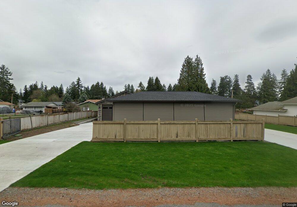
1903 Channel Rd E Lake Tapps, WA 98391
Estimated Value: $1,442,000 - $1,886,000
3
Beds
4
Baths
4,280
Sq Ft
$403/Sq Ft
Est. Value
About This Home
This home is located at 1903 Channel Rd E, Lake Tapps, WA 98391 and is currently estimated at $1,723,867, approximately $402 per square foot. 1903 Channel Rd E is a home located in Pierce County with nearby schools including Dieringer Heights Elementary School, Lake Tapps Elementary School, and North Tapps Middle School.
Ownership History
Date
Name
Owned For
Owner Type
Purchase Details
Closed on
May 15, 2023
Sold by
Henline David A and Henline Donna J
Bought by
Henline David A
Current Estimated Value
Purchase Details
Closed on
Jun 16, 2004
Sold by
Ball James J and Ball Georgia K
Bought by
Henline David and Henline Donna
Home Financials for this Owner
Home Financials are based on the most recent Mortgage that was taken out on this home.
Original Mortgage
$333,700
Interest Rate
6.09%
Mortgage Type
Unknown
Create a Home Valuation Report for This Property
The Home Valuation Report is an in-depth analysis detailing your home's value as well as a comparison with similar homes in the area
Home Values in the Area
Average Home Value in this Area
Purchase History
We collect this data history from publicly available records. To have your information removed, we recommend requesting removal directly through your county’s website.
| Date | Buyer | Sale Price | Title Company |
|---|---|---|---|
| Henline David A | -- | None Listed On Document | |
| Henline David | $490,000 | -- |
Source: Public Records
Mortgage History
We collect this data history from publicly available records. To have your information removed, we recommend requesting removal directly through your county’s website.
| Date | Status | Borrower | Loan Amount |
|---|---|---|---|
| Previous Owner | Henline David | $333,700 |
Source: Public Records
Tax History
| Year | Tax Paid | Tax Assessment Tax Assessment Total Assessment is a certain percentage of the fair market value that is determined by local assessors to be the total taxable value of land and additions on the property. | Land | Improvement |
|---|---|---|---|---|
| 2025 | $13,008 | $1,815,100 | $639,500 | $1,175,600 |
| 2024 | $13,008 | $1,317,500 | $660,900 | $656,600 |
| 2023 | $13,008 | $1,318,400 | $697,100 | $621,300 |
| 2022 | $10,393 | $1,203,300 | $642,800 | $560,500 |
| 2021 | $10,678 | $810,000 | $457,200 | $352,800 |
| 2019 | $9,837 | $769,500 | $433,200 | $336,300 |
| 2018 | $10,993 | $765,300 | $433,200 | $332,100 |
| 2017 | $9,484 | $703,500 | $399,100 | $304,400 |
| 2016 | $7,819 | $552,500 | $275,700 | $276,800 |
| 2014 | $6,820 | $489,000 | $249,400 | $239,600 |
| 2013 | $6,820 | $445,500 | $220,500 | $225,000 |
Source: Public Records
Map
Nearby Homes
- 2007 186th Ave E
- 1620 186th Ave E
- 2403 185th Ave E
- 1601 Tacoma Point Dr E
- 17612 16th Street Ct E
- 17608 16th Street Ct E
- 1517 176th Avenue Ct E
- 17510 16th Street Ct E
- 17905 28th St E
- 17521 25th Street Ct E
- 1106 184th Avenue Ct E
- 1827 176th Ave E
- 2011 Sumner Tapps Hwy E
- 1828 176th Ave E
- 6731 Charlotte Ave SE
- 2517 173rd Avenue Ct E
- 2721 65th St SE
- 3118 Deer Island Dr E
- 19010 5th St E
- 3231 Deer Island Dr E
- 1821 Channel Rd E
- 1919 Channel Rd E
- 1919 Channel Rd E
- 1815 Channel Rd E
- 1809 Channel Rd E
- 1925 Channel Rd E
- 0 Channel Rd E
- 0 Channel Rd E Unit NWM1619492
- 2005 Channel Rd E
- 1803 Channel Rd E
- 1912 Channel Rd E
- 1904 Channel Rd E
- 1920 Channel Rd E
- 1822 Channel Rd E
- 2011 Channel Rd E
- 1926 Channel Rd E
- 1816 Channel Rd E
- 1810 186th Ave E
- 2006 Channel Rd E
- 1810 Channel Rd E
Your Personal Tour Guide
Ask me questions while you tour the home.