1905 Larson Ave Unit 6 Saint Charles, IL 60174
Southeast Saint Charles NeighborhoodEstimated Value: $406,290 - $437,000
About This Home
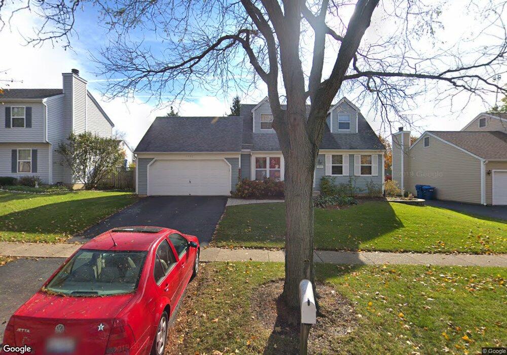
This home is located at 1905 Larson Ave Unit 6, Saint Charles, IL 60174 and is currently estimated at $422,823, approximately $276 per square foot. 1905 Larson Ave Unit 6 is a home located in Kane County with nearby schools including Munhall Elementary School, Wredling Middle School, and St Charles East High School.
Ownership History
We collect this data history from publicly available records. To have your information removed, we recommend requesting removal directly through your county’s website.
Purchase Details
Home Financials for this Owner
Home Financials are based on the most recent Mortgage that was taken out on this home.Purchase Details
Home Values in the Area
Average Home Value in this Area
Purchase History
We collect this data history from publicly available records. To have your information removed, we recommend requesting removal directly through your county’s website.
| Date | Buyer | Sale Price | Title Company |
|---|---|---|---|
| $154,000 | -- | ||
| -- | -- |
Mortgage History
We collect this data history from publicly available records. To have your information removed, we recommend requesting removal directly through your county’s website.
| Date | Status | Borrower | Loan Amount |
|---|---|---|---|
| Open | $138,400 |
Tax History
We collect this data history from publicly available records. To have your information removed, we recommend requesting removal directly through your county’s website.
| Year | Tax Paid | Tax Assessment Tax Assessment Total Assessment is a certain percentage of the fair market value that is determined by local assessors to be the total taxable value of land and additions on the property. | Land | Improvement |
|---|---|---|---|---|
| 2024 | $7,881 | $106,170 | $33,516 | $72,654 |
| 2023 | $7,605 | $95,023 | $29,997 | $65,026 |
| 2022 | $7,177 | $88,892 | $33,203 | $55,689 |
| 2021 | $6,911 | $84,732 | $31,649 | $53,083 |
| 2020 | $6,843 | $83,152 | $31,059 | $52,093 |
| 2019 | $6,727 | $81,506 | $30,444 | $51,062 |
| 2018 | $6,378 | $76,889 | $29,286 | $47,603 |
| 2017 | $6,129 | $73,146 | $28,285 | $44,861 |
| 2016 | $6,448 | $70,577 | $27,291 | $43,286 |
| 2015 | -- | $67,966 | $26,997 | $40,969 |
| 2014 | -- | $65,377 | $26,997 | $38,380 |
| 2013 | -- | $68,340 | $27,267 | $41,073 |
Map
- 1809 Cambridge Dr
- 1150 Appleton Ln
- 1513 Ronzheimer Ave
- 1820 Forrest Blvd
- 1213 Geneva Dr
- 1581 Madison Ave
- 1573 Delaware Ct Unit 2
- 1425 Banbury Ave
- 1236 Alexandria Ct Unit 4
- 904 Britta Ln
- 1569 Dempsey Dr
- 877 Manchester Course
- 881 Manchester Course
- 892 Manchester Course
- 452 N Glengarry Dr
- 1512 Kirkwood Dr
- 920 Fern Ave
- 000 Averill Cir
- 715 Oakwood Dr
- 611 Oakwood Dr
Ask me questions while you tour the home.