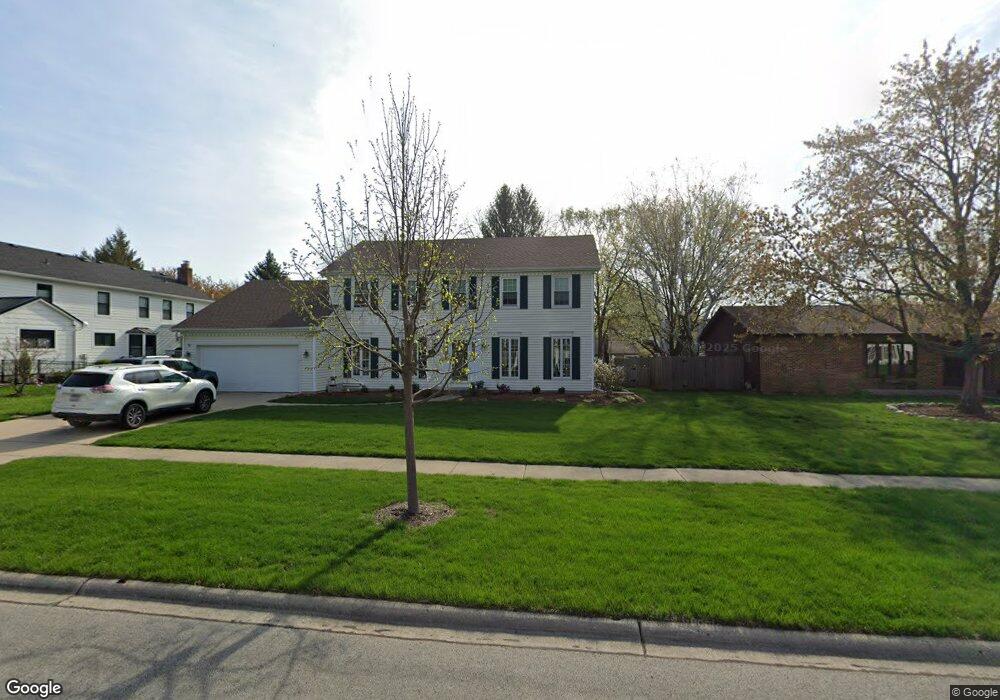
1907 Buckingham Dr Wheaton, IL 60189
Stonehedge NeighborhoodEstimated Value: $695,495 - $862,000
About This Home
This home is located at 1907 Buckingham Dr, Wheaton, IL 60189 and is currently estimated at $797,374, approximately $297 per square foot. 1907 Buckingham Dr is a home located in DuPage County with nearby schools including Whittier Elementary School, Edison Middle School, and Wheaton Warrenville South High School.
Ownership History
We collect this data history from publicly available records. To have your information removed, we recommend requesting removal directly through your county’s website.
Purchase Details
Purchase Details
Purchase Details
Home Values in the Area
Average Home Value in this Area
Purchase History
We collect this data history from publicly available records. To have your information removed, we recommend requesting removal directly through your county’s website.
| Date | Buyer | Sale Price | Title Company |
|---|---|---|---|
| -- | Attorney | ||
| -- | Attorney | ||
| -- | -- |
Tax History
We collect this data history from publicly available records. To have your information removed, we recommend requesting removal directly through your county’s website.
| Year | Tax Paid | Tax Assessment Tax Assessment Total Assessment is a certain percentage of the fair market value that is determined by local assessors to be the total taxable value of land and additions on the property. | Land | Improvement |
|---|---|---|---|---|
| 2024 | $11,805 | $199,159 | $51,778 | $147,381 |
| 2023 | $11,848 | $183,320 | $47,660 | $135,660 |
| 2022 | $11,583 | $173,250 | $45,040 | $128,210 |
| 2021 | $11,546 | $169,140 | $43,970 | $125,170 |
| 2020 | $11,511 | $167,560 | $43,560 | $124,000 |
| 2019 | $11,250 | $163,140 | $42,410 | $120,730 |
| 2018 | $11,607 | $166,260 | $39,960 | $126,300 |
| 2017 | $11,439 | $160,130 | $38,490 | $121,640 |
| 2016 | $11,291 | $153,730 | $36,950 | $116,780 |
| 2015 | $10,295 | $135,170 | $35,250 | $99,920 |
| 2014 | $9,569 | $124,010 | $34,740 | $89,270 |
| 2013 | $9,322 | $124,380 | $34,840 | $89,540 |
Map
- 141 Loretto Ct
- 2012 Cromwell Dr
- 2017 Somerset Ln
- 2045 Somerset Ln
- 2053 Somerset Ln
- 81 Landon Cir
- 170 Shelley Ln
- 1570 Orchard Rd
- 1262 Midwest Ln
- 1862 W Wiesbrook Rd
- 1601 W Wiesbrook Rd
- 1519 Foothill Dr
- 1028 Lodalia Ct
- 2S560 Seneca Dr
- 110 E Farnham Ln
- 2552 Weatherbee Ln
- 116 E Farnham Ln
- 2S510 Seneca Dr
- 877 Stillwell Ct
- 26W421 Wiesbrook Rd
- 1913 Buckingham Dr
- 754 Brighton Dr
- 1908 Cromwell Dr
- 1919 Buckingham Dr
- 1914 Cromwell Dr
- 1914 Buckingham Dr
- 1908 Buckingham Dr Unit 5
- 1920 Cromwell Dr Unit 5
- 818 Brighton Dr
- 1920 Buckingham Dr
- 1925 Buckingham Dr
- 1926 Cromwell Dr
- 759 Brighton Dr
- 733 Brighton Dr
- 1926 Buckingham Dr
- 1931 Buckingham Dr
- 801 Brighton Dr
- 717 Brighton Dr
- 817 Brighton Dr Unit 5
- 1907 Cromwell Dr
Ask me questions while you tour the home.