1907 S State St Lockport, IL 60441
South Lockport NeighborhoodEstimated Value: $224,000 - $344,000
About This Home
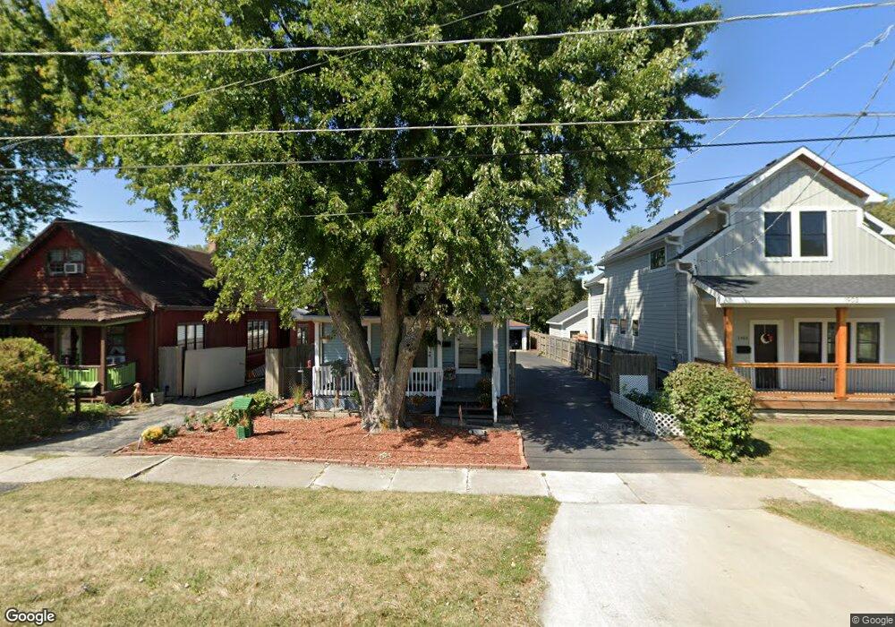
This home is located at 1907 S State St, Lockport, IL 60441 and is currently estimated at $261,679. 1907 S State St is a home located in Will County with nearby schools including Taft Grade School, Lockport Township High School East, and Saint Dennis School.
Ownership History
We collect this data history from publicly available records. To have your information removed, we recommend requesting removal directly through your county’s website.
Purchase Details
Home Financials for this Owner
Home Financials are based on the most recent Mortgage that was taken out on this home.Home Values in the Area
Average Home Value in this Area
Purchase History
We collect this data history from publicly available records. To have your information removed, we recommend requesting removal directly through your county’s website.
| Date | Buyer | Sale Price | Title Company |
|---|---|---|---|
| $110,000 | -- |
Mortgage History
We collect this data history from publicly available records. To have your information removed, we recommend requesting removal directly through your county’s website.
| Date | Status | Borrower | Loan Amount |
|---|---|---|---|
| Open | $108,300 |
Tax History
We collect this data history from publicly available records. To have your information removed, we recommend requesting removal directly through your county’s website.
| Year | Tax Paid | Tax Assessment Tax Assessment Total Assessment is a certain percentage of the fair market value that is determined by local assessors to be the total taxable value of land and additions on the property. | Land | Improvement |
|---|---|---|---|---|
| 2024 | $3,968 | $62,473 | $20,616 | $41,857 |
| 2023 | $3,734 | $56,085 | $18,508 | $37,577 |
| 2022 | $3,377 | $49,787 | $16,429 | $33,358 |
| 2021 | $3,165 | $46,788 | $15,439 | $31,349 |
| 2020 | $3,065 | $45,249 | $14,931 | $30,318 |
| 2019 | $2,890 | $42,890 | $14,153 | $28,737 |
| 2018 | $2,266 | $35,443 | $13,346 | $22,097 |
| 2017 | $2,056 | $32,484 | $12,232 | $20,252 |
| 2016 | $1,749 | $28,831 | $10,857 | $17,974 |
| 2015 | $2,442 | $26,633 | $10,029 | $16,604 |
| 2014 | $2,442 | $26,110 | $9,832 | $16,278 |
| 2013 | $2,442 | $30,718 | $11,567 | $19,151 |
Map
- 136 W 18th St
- 1709 S State St
- 1709 S Washington St
- 316 E Division St
- 1492 S Jefferson St
- 1236 S Washington St
- 1200 S State St
- 2005 Princess Ct
- 2009 Princess Ct
- 2021 Princess Ct
- 533 E Division St
- 1613 Mary Ann Ln
- 1211 S Jefferson St
- 302 Hughes Ave
- 218 Hughes Ave
- 548 Mihelich Ln
- 510 E 13th St
- 1016 S State St
- 307 Cameron Ave
- 2110 S Austrian Pine St Unit 2
- 1911 S State St
- 1903 S State St
- 1917 S State St
- 1918 S State St
- 1925 S State St
- 1925 S State St
- 1925 S State St
- 1902 S State St
- 1927 S State St
- 1910 S State St
- 1914 S State St
- 1920 S State St
- 1929 S State St
- 1817 S State St
- 1924 S State St
- 1928 S State St
- 1819 S State St
- 1812 S State St
- 2001 S State St
- 1934 S State St
Ask me questions while you tour the home.