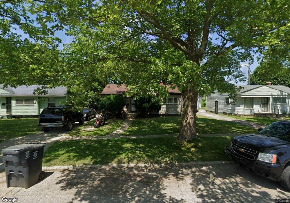
1908 Canniff St Flint, MI 48504
Bel-Aire Woods NeighborhoodEstimated Value: $36,000 - $56,000
3
Beds
1
Bath
884
Sq Ft
$53/Sq Ft
Est. Value
About This Home
This home is located at 1908 Canniff St, Flint, MI 48504 and is currently estimated at $47,132, approximately $53 per square foot. 1908 Canniff St is a home located in Genesee County with nearby schools including Brownell STEM Academy, The New Standard Academy, and Eagle's Nest Academy.
Ownership History
Date
Name
Owned For
Owner Type
Purchase Details
Closed on
Jun 20, 2016
Sold by
Pendergrass Jason Ray
Bought by
Mangham Taquilla
Current Estimated Value
Purchase Details
Closed on
Mar 8, 2010
Sold by
Donovan Shaun and Secretary Of Housing & Urban D
Bought by
Cintron Marcel
Purchase Details
Closed on
Aug 31, 2009
Sold by
Midfirst Bank
Bought by
The Secretary Of Housing & Urban Develop
Purchase Details
Closed on
Jul 1, 2009
Sold by
Brown Sharon L and Govan Robert C
Bought by
Midfirst Bank
Purchase Details
Closed on
Aug 19, 2002
Sold by
Govan Robert C
Bought by
Brown Sharon L
Create a Home Valuation Report for This Property
The Home Valuation Report is an in-depth analysis detailing your home's value as well as a comparison with similar homes in the area
Home Values in the Area
Average Home Value in this Area
Purchase History
| Date | Buyer | Sale Price | Title Company |
|---|---|---|---|
| Mangham Taquilla | $3,000 | Cislo Title Company | |
| Cintron Marcel | $6,011 | None Available | |
| The Secretary Of Housing & Urban Develop | -- | None Available | |
| Midfirst Bank | $18,431 | None Available | |
| Brown Sharon L | -- | -- |
Source: Public Records
Tax History
| Year | Tax Paid | Tax Assessment Tax Assessment Total Assessment is a certain percentage of the fair market value that is determined by local assessors to be the total taxable value of land and additions on the property. | Land | Improvement |
|---|---|---|---|---|
| 2025 | $732 | $14,000 | $0 | $0 |
| 2024 | $672 | $11,700 | $0 | $0 |
| 2023 | $666 | $9,900 | $0 | $0 |
| 2022 | $0 | $8,000 | $0 | $0 |
| 2021 | $686 | $8,100 | $0 | $0 |
| 2020 | $628 | $7,600 | $0 | $0 |
| 2019 | $2,037 | $7,800 | $0 | $0 |
| 2018 | $645 | $8,200 | $0 | $0 |
| 2017 | $657 | $0 | $0 | $0 |
| 2016 | $655 | $0 | $0 | $0 |
| 2015 | -- | $0 | $0 | $0 |
| 2014 | -- | $0 | $0 | $0 |
| 2012 | -- | $11,600 | $0 | $0 |
Source: Public Records
Map
Nearby Homes
- 1909 Cherrylawn Dr
- 4539 Trumbull Dr
- 2210 Canniff St
- 1710 Shamrock Ln
- 5106 Cloverlawn Dr
- 4110 Leerda St
- 5413 Fleming Rd
- 1720 Marlowe Dr
- 4008 Winona St
- 4816 Glenn Ave
- 4013 Sterling St
- 5620 Marlowe Dr
- 3808 Comstock Ave
- 1518 Randy Ct
- 5502 Susan St
- 4808 Edwards Ave
- 5905 Cloverlawn Dr
- 3722 Sterling St
- 3617 Kellar Ave
- 3143 Maywood Dr
- 1902 Canniff St
- 1912 Canniff St
- 1920 Canniff St
- 1916 Canniff St
- 4614 Greenlawn Dr
- 4618 Greenlawn Dr
- 4707 Warrington Dr
- 1806 Canniff St
- 4610 Greenlawn Dr
- 4711 Warrington Dr
- 1907 Canniff St
- 1913 Canniff St
- 1901 Canniff St
- 4606 Greenlawn Dr
- 4702 Greenlawn Dr
- 1809 Canniff St
- 1805 Canniff St
- 4602 Greenlawn Dr
- 1921 Canniff St
- 4715 Warrington Dr
Your Personal Tour Guide
Ask me questions while you tour the home.