191 Eel Point Rd Nantucket, MA 02554
Estimated Value: $3,502,000
5
Beds
5
Baths
4,332
Sq Ft
$808/Sq Ft
Est. Value
About This Home
This home is located at 191 Eel Point Rd, Nantucket, MA 02554 and is currently estimated at $3,502,000, approximately $808 per square foot. 191 Eel Point Rd is a home located in Nantucket County with nearby schools including Nantucket Elementary School, Cyrus Peirce Middle School, and Nantucket High School.
Ownership History
Date
Name
Owned For
Owner Type
Purchase Details
Closed on
Dec 31, 2013
Sold by
Clark Leslie M
Bought by
Krauter Neil C
Current Estimated Value
Home Financials for this Owner
Home Financials are based on the most recent Mortgage that was taken out on this home.
Original Mortgage
$1,100,000
Outstanding Balance
$829,163
Interest Rate
4.35%
Estimated Equity
$2,672,837
Purchase Details
Closed on
Sep 24, 1992
Sold by
Laine Richard and Laine Ellen
Bought by
Krauter Neil C and Krauter Leslie M
Home Financials for this Owner
Home Financials are based on the most recent Mortgage that was taken out on this home.
Original Mortgage
$930,000
Interest Rate
7.9%
Mortgage Type
Purchase Money Mortgage
Create a Home Valuation Report for This Property
The Home Valuation Report is an in-depth analysis detailing your home's value as well as a comparison with similar homes in the area
Home Values in the Area
Average Home Value in this Area
Purchase History
| Date | Buyer | Sale Price | Title Company |
|---|---|---|---|
| Krauter Neil C | -- | -- | |
| Krauter Neil C | $1,240,000 | -- |
Source: Public Records
Mortgage History
| Date | Status | Borrower | Loan Amount |
|---|---|---|---|
| Open | Krauter Neil C | $1,100,000 | |
| Previous Owner | Krauter Neil C | $930,000 | |
| Closed | Krauter Neil C | $70,000 |
Source: Public Records
Tax History
| Year | Tax Paid | Tax Assessment Tax Assessment Total Assessment is a certain percentage of the fair market value that is determined by local assessors to be the total taxable value of land and additions on the property. | Land | Improvement |
|---|---|---|---|---|
| 2025 | $57,592 | $17,558,500 | $9,078,800 | $8,479,700 |
| 2024 | $51,984 | $16,608,200 | $8,833,400 | $7,774,800 |
| 2023 | $46,718 | $14,553,800 | $8,425,000 | $6,128,800 |
| 2022 | $43,138 | $11,534,100 | $6,283,100 | $5,251,000 |
| 2021 | $40,444 | $11,141,500 | $5,890,500 | $5,251,000 |
| 2020 | $41,100 | $11,912,900 | $6,479,400 | $5,433,500 |
| 2019 | $42,350 | $12,604,100 | $6,343,700 | $6,260,400 |
| 2018 | $39,840 | $11,286,000 | $5,382,600 | $5,903,400 |
| 2017 | $40,606 | $11,978,100 | $6,074,700 | $5,903,400 |
| 2016 | $27,047 | $8,049,600 | $6,151,500 | $1,898,100 |
| 2015 | $36,877 | $10,215,100 | $7,254,400 | $2,960,700 |
| 2014 | $33,260 | $8,845,700 | $6,383,900 | $2,461,800 |
Source: Public Records
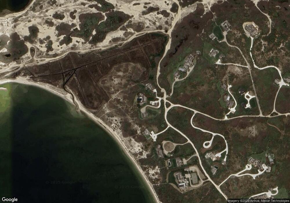
Map
Nearby Homes
- 8 M St
- 6 Arkansas Ave
- 11 Mississippi Ave
- 24 Washington Ave
- 321 Madaket Rd
- 17 Massachusetts Ave
- 45 Starbuck Rd
- 11 Columbus Ave
- 22 Sheep Pond Rd
- 45 Sheep Pond Rd
- 15 Hallowell Ln
- 4 Millbrook Rd
- 9 Millbrook Road (Portion)
- 74 Madaket Rd
- 7 Oak Hollow Ln
- 86 Cliff Rd
- 8 Priscilla Ln
- 10 Pilgrim Rd
- 7 Pilgrim Ct
- 11A Meadow Ln Unit B
- 189 Eel Point Rd
- 193 Eel Point Rd
- 195 Eel Point Rd
- 199 Eel Point Rd
- 181 Eel Point Rd
- 201 Eel Point Rd
- 4 Lavendar Ln
- 179 Eel Point Rd
- 200 Eel Point Rd
- 205 Eel Point Rd
- 177 Eel Point Rd
- 8 Lavendar Ln
- 8 Lavender Ln
- 4 Lavender Ln
- 202 Eel Point Rd
- 169 Eel Point Rd
- 212 Eel Point Rd
- 212 + 214 Eel Point Rd
- 210 Eel Point Rd
- 52 Warrens Landing Rd
Your Personal Tour Guide
Ask me questions while you tour the home.