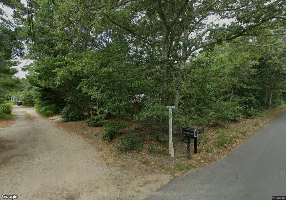
191 Philips Ln Eastham, MA 02642
Estimated Value: $1,007,000 - $1,690,000
4
Beds
2
Baths
1,320
Sq Ft
$1,108/Sq Ft
Est. Value
About This Home
This home is located at 191 Philips Ln, Eastham, MA 02642 and is currently estimated at $1,461,919, approximately $1,107 per square foot. 191 Philips Ln is a home with nearby schools including Bourne High School, Bridgeview Montessori School, and New Testament Christian School.
Ownership History
Date
Name
Owned For
Owner Type
Purchase Details
Closed on
Mar 1, 2021
Sold by
Kelso Sorothy Ann Est and Kelso
Bought by
Hashem Timothy
Current Estimated Value
Home Financials for this Owner
Home Financials are based on the most recent Mortgage that was taken out on this home.
Original Mortgage
$680,000
Outstanding Balance
$606,796
Interest Rate
2.7%
Mortgage Type
Purchase Money Mortgage
Estimated Equity
$855,123
Create a Home Valuation Report for This Property
The Home Valuation Report is an in-depth analysis detailing your home's value as well as a comparison with similar homes in the area
Home Values in the Area
Average Home Value in this Area
Purchase History
| Date | Buyer | Sale Price | Title Company |
|---|---|---|---|
| Hashem Timothy | $850,000 | None Available | |
| Hashem Timothy | $850,000 | None Available |
Source: Public Records
Mortgage History
| Date | Status | Borrower | Loan Amount |
|---|---|---|---|
| Open | Hashem Timothy | $680,000 | |
| Closed | Hashem Timothy | $680,000 |
Source: Public Records
Tax History
| Year | Tax Paid | Tax Assessment Tax Assessment Total Assessment is a certain percentage of the fair market value that is determined by local assessors to be the total taxable value of land and additions on the property. | Land | Improvement |
|---|---|---|---|---|
| 2025 | $11,343 | $1,452,400 | $1,174,400 | $278,000 |
| 2024 | $11,092 | $1,383,100 | $1,118,400 | $264,700 |
| 2023 | $10,792 | $1,225,000 | $989,800 | $235,200 |
| 2022 | $10,649 | $1,055,400 | $875,900 | $179,500 |
| 2021 | $10,797 | $1,002,500 | $833,400 | $169,100 |
| 2020 | $10,676 | $994,000 | $825,500 | $168,500 |
| 2019 | $10,354 | $985,200 | $825,500 | $159,700 |
| 2018 | $9,896 | $938,900 | $786,300 | $152,600 |
| 2017 | $9,578 | $929,900 | $778,800 | $151,100 |
| 2016 | $9,381 | $923,300 | $778,800 | $144,500 |
| 2015 | $9,298 | $923,300 | $778,800 | $144,500 |
Source: Public Records
Map
Nearby Homes
- 133 Phillips Rd
- 38 Siasconset Dr
- 10 Tecumseh Rd
- 56 Samoset Rd
- 8 Driftwood Ln
- 1 Luigi Ave
- 16 Ocean Pines Dr Unit B
- 1 Luigi Ave
- 17 Andrew Rd
- 0 State Rd
- 64 Hunters Brook Rd
- 18 Gibbs Rd
- 17 Ridgehill Ln
- 3 Dover Ln
- 11 Village Green Dr Unit B
- 896 Sandwich Rd
- 51 Commonwealth Ave
- 51 Commonwealth Ave
- 71 Tupper Rd
- 3 Januit St
- 191 Phillips Rd
- 197 Phillips Rd
- 197 Phillips Rd
- 177 Phillips Rd
- 199 Phillips Rd
- 1 Sand Castle Dr
- 201 Phillips Rd
- 203 Phillips Rd
- 372 Phillips Rd
- 11 Sand Castle Dr
- 165 Phillips Rd
- 204 Phillips Rd
- 17 Sand Castle Dr
- 206-a Wilson Rd
- 206 Phillips Rd
- 206A Phillips Rd
- 206A Phillips Rd
- 215 Phillips Rd
- 154 Phillips Rd
- 154 Phillips Rd Unit B
Your Personal Tour Guide
Ask me questions while you tour the home.