Estimated Value: $394,000 - $461,000
About This Home
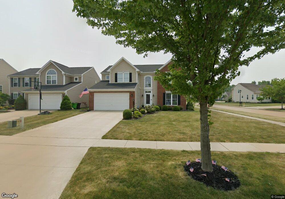
This home is located at 191 Stonepointe Dr, Berea, OH 44017 and is currently estimated at $424,535, approximately $154 per square foot. 191 Stonepointe Dr is a home located in Cuyahoga County with nearby schools including Falls-Lenox Primary Elementary School, Olmsted Falls Intermediate Building, and Olmsted Falls Middle School.
Ownership History
We collect this data history from publicly available records. To have your information removed, we recommend requesting removal directly through your county’s website.
Purchase Details
Home Financials for this Owner
Home Financials are based on the most recent Mortgage that was taken out on this home.Purchase Details
Home Values in the Area
Average Home Value in this Area
Purchase History
We collect this data history from publicly available records. To have your information removed, we recommend requesting removal directly through your county’s website.
| Date | Buyer | Sale Price | Title Company |
|---|---|---|---|
| $260,715 | Nvr Title Agency | ||
| $40,355 | Nvr Title Agency |
Mortgage History
We collect this data history from publicly available records. To have your information removed, we recommend requesting removal directly through your county’s website.
| Date | Status | Borrower | Loan Amount |
|---|---|---|---|
| Open | $247,600 |
Tax History
We collect this data history from publicly available records. To have your information removed, we recommend requesting removal directly through your county’s website.
| Year | Tax Paid | Tax Assessment Tax Assessment Total Assessment is a certain percentage of the fair market value that is determined by local assessors to be the total taxable value of land and additions on the property. | Land | Improvement |
|---|---|---|---|---|
| 2025 | $7,160 | $123,620 | $24,605 | $99,015 |
| 2024 | $7,169 | $123,620 | $24,605 | $99,015 |
| 2023 | $7,196 | $104,200 | $22,230 | $81,970 |
| 2022 | $7,151 | $104,200 | $22,230 | $81,970 |
| 2021 | $7,132 | $104,200 | $22,230 | $81,970 |
| 2020 | $7,297 | $94,710 | $20,200 | $74,520 |
| 2019 | $7,104 | $270,600 | $57,700 | $212,900 |
| 2018 | $6,988 | $94,710 | $20,200 | $74,520 |
| 2017 | $7,411 | $92,230 | $17,570 | $74,660 |
| 2016 | $7,356 | $92,230 | $17,570 | $74,660 |
| 2015 | $6,777 | $92,230 | $17,570 | $74,660 |
| 2014 | $6,777 | $89,880 | $17,220 | $72,660 |
Map
- 111 Slippery Rock Ln
- 106 Pebble Ct
- 108 Yellowstone Ct
- 106 Clay Ct
- 108 Clay Ct
- 119 River Rock Way
- 82 Stonesthrow Dr
- 105 Limestone Ct
- 0 River Rd Unit 5169658
- 300 Hickory Dr
- 340 Hickory Dr
- 403 Barrett Rd
- 369 Fern Dr
- 281-12-007 River Rd
- 281-12-024 River Rd
- 889 Grayton Rd
- V/L Columbia Rd
- 25058 Mill River Ct
- 25016 Mill River Rd Unit 25016
- 270 Riveredge Pkwy
- 185 Stonepointe Dr
- 179 Stonepointe Dr
- 173 Stonepointe Dr
- 186 Sandstone Ridge Way
- 167 Stonepointe Dr
- 212 Sandstone Ridge Way
- 100 Weatherstone Dr
- 180 Sandstone Ridge Way
- 161 Stonepointe Dr
- 196 Stonepointe Dr
- 201 Sandstone Ridge Way
- 207 Sandstone Ridge Way
- 218 Sandstone Ridge Way
- 213 Sandstone Ridge Way
- 190 Stonepointe Dr
- 174 Sandstone Ridge Way
- 219 Sandstone Ridge Way
- 155 Stonepointe Dr
- 106 Weatherstone Dr
- 224 Sandstone Ridge Way
Ask me questions while you tour the home.