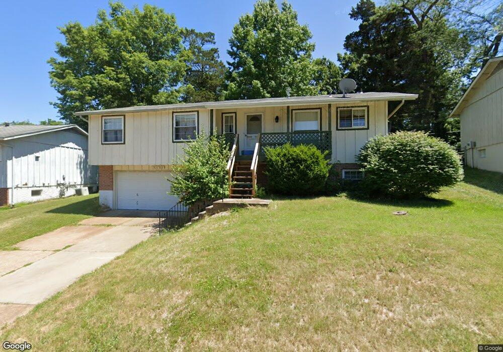
1910 Catlin Dr Barnhart, MO 63012
Estimated Value: $201,000 - $249,000
3
Beds
3
Baths
1,400
Sq Ft
$167/Sq Ft
Est. Value
About This Home
This home is located at 1910 Catlin Dr, Barnhart, MO 63012 and is currently estimated at $233,966, approximately $167 per square foot. 1910 Catlin Dr is a home located in Jefferson County with nearby schools including Windsor High School and St. Joseph Catholic School.
Ownership History
Date
Name
Owned For
Owner Type
Purchase Details
Closed on
Dec 29, 2025
Sold by
Hartley William S and Hartley Carol A
Bought by
Rocklin Group Llc
Current Estimated Value
Home Financials for this Owner
Home Financials are based on the most recent Mortgage that was taken out on this home.
Original Mortgage
$209,313
Outstanding Balance
$209,115
Interest Rate
6.26%
Mortgage Type
Credit Line Revolving
Estimated Equity
$24,851
Purchase Details
Closed on
Jan 23, 2018
Sold by
Hartley William S and Hartley Carol A
Bought by
Hartley William S and Hartley Carol A
Purchase Details
Closed on
Jan 3, 2018
Sold by
Hartley William S and Hartley Carol A
Bought by
Hartley William S and Hartley Carol A
Purchase Details
Closed on
Jul 13, 2012
Sold by
Sosnoff Mary Darlene
Bought by
Hartley William S and Hartley Carol A
Create a Home Valuation Report for This Property
The Home Valuation Report is an in-depth analysis detailing your home's value as well as a comparison with similar homes in the area
Home Values in the Area
Average Home Value in this Area
Purchase History
| Date | Buyer | Sale Price | Title Company |
|---|---|---|---|
| Rocklin Group Llc | -- | Etc (Elite Title Company) | |
| Hartley William S | -- | None Available | |
| Hartley William S | -- | None Available | |
| Hartley William S | -- | None Available |
Source: Public Records
Mortgage History
| Date | Status | Borrower | Loan Amount |
|---|---|---|---|
| Open | Rocklin Group Llc | $209,313 |
Source: Public Records
Tax History
| Year | Tax Paid | Tax Assessment Tax Assessment Total Assessment is a certain percentage of the fair market value that is determined by local assessors to be the total taxable value of land and additions on the property. | Land | Improvement |
|---|---|---|---|---|
| 2025 | $1,517 | $22,000 | $4,800 | $17,200 |
| 2024 | $1,517 | $20,700 | $4,800 | $15,900 |
| 2023 | $1,517 | $20,700 | $4,800 | $15,900 |
| 2022 | $1,331 | $18,200 | $2,300 | $15,900 |
| 2021 | $1,332 | $18,200 | $2,300 | $15,900 |
| 2020 | $1,244 | $16,500 | $1,900 | $14,600 |
| 2019 | $1,243 | $16,500 | $1,900 | $14,600 |
| 2018 | $1,226 | $16,500 | $1,900 | $14,600 |
| 2017 | $1,180 | $16,500 | $1,900 | $14,600 |
| 2016 | $1,062 | $14,800 | $1,900 | $12,900 |
| 2015 | $1,059 | $14,800 | $1,900 | $12,900 |
| 2013 | -- | $14,500 | $1,900 | $12,600 |
Source: Public Records
Map
Nearby Homes
- 1955 Parkton Way
- 0 Hwy Mm Unit MAR24032005
- 1660 Old State Road M
- 7235 Adams Ct
- 2149 Meadow Dr
- 6788 Haven Hill Rd
- 1721 Burgess Way
- 2211 Castlegate Dr
- 1962 Birchwood Dr
- 2525 Castle Pines Dr
- 36 Huntleigh Woods
- 2118 Birchwood Dr
- 1530 1st St
- 1022 Graystone Park
- 6570 Ike Dr
- 1702 Springbrook Dr
- 6573 Buckingham Palace Dr
- 1473 Grey Wolf Dr
- 1525 Prehistoric Hill Dr
- 1518 Mammoth Ln
Your Personal Tour Guide
Ask me questions while you tour the home.