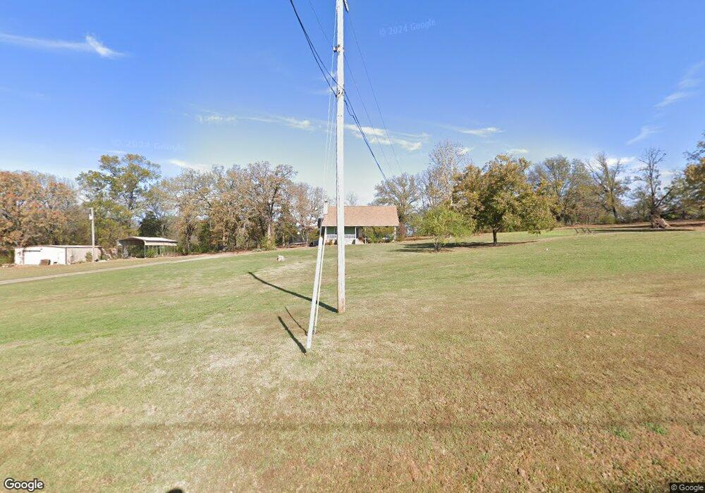
1910 Connection Rd Mulberry, AR 72947
Estimated Value: $263,000 - $351,000
Studio
2
Baths
2,786
Sq Ft
$103/Sq Ft
Est. Value
About This Home
This home is located at 1910 Connection Rd, Mulberry, AR 72947 and is currently estimated at $287,795, approximately $103 per square foot. 1910 Connection Rd is a home located in Crawford County with nearby schools including Marvin Primary School, Pleasant View Junior High School, and Mulberry High School.
Ownership History
Date
Name
Owned For
Owner Type
Purchase Details
Closed on
May 21, 2021
Sold by
Shepard Larry D and Shepard Willa Jean
Bought by
Dean Zachary and Dean Jasmine
Current Estimated Value
Home Financials for this Owner
Home Financials are based on the most recent Mortgage that was taken out on this home.
Original Mortgage
$147,200
Outstanding Balance
$133,400
Interest Rate
3.1%
Mortgage Type
New Conventional
Estimated Equity
$154,395
Purchase Details
Closed on
Aug 13, 1985
Bought by
Shepard Larry D and Willa Jean
Create a Home Valuation Report for This Property
The Home Valuation Report is an in-depth analysis detailing your home's value as well as a comparison with similar homes in the area
Purchase History
| Date | Buyer | Sale Price | Title Company |
|---|---|---|---|
| Dean Zachary | $184,000 | None Listed On Document | |
| Shepard Larry D | -- | -- |
Source: Public Records
Mortgage History
| Date | Status | Borrower | Loan Amount |
|---|---|---|---|
| Open | Dean Zachary | $147,200 |
Source: Public Records
Tax History
| Year | Tax Paid | Tax Assessment Tax Assessment Total Assessment is a certain percentage of the fair market value that is determined by local assessors to be the total taxable value of land and additions on the property. | Land | Improvement |
|---|---|---|---|---|
| 2025 | $1,150 | $48,500 | $4,980 | $43,520 |
| 2024 | $1,175 | $48,500 | $4,980 | $43,520 |
| 2023 | $1,174 | $48,500 | $4,980 | $43,520 |
| 2022 | $1,127 | $31,820 | $3,090 | $28,730 |
| 2021 | $1,016 | $31,820 | $3,090 | $28,730 |
| 2020 | $1,391 | $31,820 | $3,090 | $28,730 |
| 2019 | $1,391 | $31,820 | $3,090 | $28,730 |
| 2018 | $1,391 | $31,820 | $3,090 | $28,730 |
| 2017 | $726 | $25,890 | $1,620 | $24,270 |
| 2016 | $726 | $25,890 | $1,620 | $24,270 |
| 2015 | $726 | $25,890 | $1,620 | $24,270 |
| 2014 | $726 | $25,890 | $1,620 | $24,270 |
Source: Public Records
Map
Nearby Homes
- TBD (lot 29) Keystone Dr
- TBD (lot 30) Keystone Dr
- TBD Exsorbet Dr
- 3032 King Dr
- 904 Alma Ave
- 210 W 2nd St
- 738 N Main St
- 8 W 10th St
- 2150 Old Graphic St
- 10110 Booth Rd
- TBD Goff Cir
- 0 Goff Cir
- 000 River Rd
- 5319 Chastain Rd
- 2119 Melody Ln
- 2500 River Vista Dr
- 5527 Wire Rd
- 223 S Main St
- 720 W Line St
- 160 Horizon Ln
- 1832 Connection Rd
- 1806 Connection Rd
- 1839 Connection Rd
- 2116 Connection Rd
- 2208 Connection Rd
- 541 N Gintown Rd
- 627 N Gintown Rd
- 611 Bonfire Ln
- 2302 Connection Rd
- 1933 Mulberry Highway 64 W
- 833 N Gintown Rd
- 301 N Gintown Rd
- 840 N Gintown Rd
- 2035 Mulberry Highway 64 W
- 1829 Mulberry Highway 64 W
- 2405 Connection Rd
- 905 N Gintown Rd
- 400 N Gintown Rd
- 850 N Gintown Rd
- 1934 W 64 Hwy
Your Personal Tour Guide
Ask me questions while you tour the home.