1910 Eamons Way Unit 67 Annapolis, MD 21401
Parole NeighborhoodEstimated Value: $841,739 - $942,000
About This Home
This home is located at 1910 Eamons Way Unit 67, Annapolis, MD 21401 and is currently estimated at $890,185, approximately $321 per square foot. 1910 Eamons Way Unit 67 is a home located in Anne Arundel County with nearby schools including Rolling Knolls Elementary School, Wiley H. Bates Middle School, and Annapolis High School.
Ownership History
We collect this data history from publicly available records. To have your information removed, we recommend requesting removal directly through your county’s website.
Purchase Details
Home Financials for this Owner
Home Financials are based on the most recent Mortgage that was taken out on this home.Home Values in the Area
Average Home Value in this Area
Purchase History
We collect this data history from publicly available records. To have your information removed, we recommend requesting removal directly through your county’s website.
| Date | Buyer | Sale Price | Title Company |
|---|---|---|---|
| $546,501 | -- |
Mortgage History
We collect this data history from publicly available records. To have your information removed, we recommend requesting removal directly through your county’s website.
| Date | Status | Borrower | Loan Amount |
|---|---|---|---|
| Previous Owner | $536,578 |
Tax History
We collect this data history from publicly available records. To have your information removed, we recommend requesting removal directly through your county’s website.
| Year | Tax Paid | Tax Assessment Tax Assessment Total Assessment is a certain percentage of the fair market value that is determined by local assessors to be the total taxable value of land and additions on the property. | Land | Improvement |
|---|---|---|---|---|
| 2025 | $6,708 | $642,900 | $158,000 | $484,900 |
| 2024 | $6,708 | $608,633 | $0 | $0 |
| 2023 | $6,042 | $574,367 | $0 | $0 |
| 2022 | $6,074 | $540,100 | $158,000 | $382,100 |
| 2020 | $6,037 | $540,100 | $158,000 | $382,100 |
| 2019 | $6,402 | $626,300 | $208,000 | $418,300 |
| 2018 | $6,044 | $596,033 | $0 | $0 |
| 2017 | $5,971 | $565,767 | $0 | $0 |
| 2016 | -- | $535,500 | $0 | $0 |
| 2015 | -- | $526,800 | $0 | $0 |
| 2014 | -- | $518,100 | $0 | $0 |
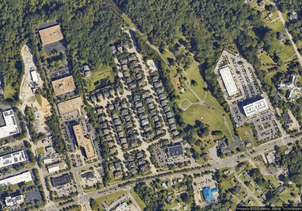
Map
- 905 Cornell Ave
- 86 Harbour Heights Dr
- 45 Harbour Heights Dr
- 11 Harbour Heights Dr
- 631 Admiral Dr Unit 302
- 120 Kingswood Rd
- 1876 Severn Grove Rd
- 553 Choptank Cove Ct
- 2001 Warners Terrace N Unit 102
- 2003 Warners Terrace N Unit 324
- 1870 Poplar Rd
- 2013 Warners Terrace S Unit 138
- 668 N Bestgate Rd
- 2023 Puritan Terrace
- 1709 Point no Point Dr
- 2054 Quaker Way Unit 9
- 2015 Gov Thomas Bladen Way Unit 303
- 501 Mathias Hammond Way Unit 301
- 1812 Shore Dr
- 648 Howards Loop Unit 19
- 1909 Eamons Way
- 1909 Eamons Way Unit 58
- 1907 Eamons Way
- 1911 Eamons Way
- 1905 Eamons Way
- 1913 Eamons Way
- 1908 Eamons Way
- 1906 Eamons Way
- 1910 Eamons Way
- 1903 Eamons Way
- 1915 Eamons Way
- 1904 Eamons Way
- 1904 Eamons Way Unit 64
- 1912 Eamons Way Unit 68
- 1912 Eamons Way
- 1902 Eamons Way
- 1917 Eamons Way
- 2013 Monticello Dr
- 1914 Eamons Way
- 2011 Monticello Dr
Ask me questions while you tour the home.