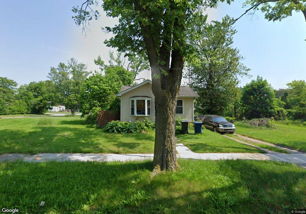
1910 Stevenson St Flint, MI 48504
Ballenger Park NeighborhoodEstimated Value: $36,000 - $54,000
--
Bed
1
Bath
860
Sq Ft
$51/Sq Ft
Est. Value
About This Home
This home is located at 1910 Stevenson St, Flint, MI 48504 and is currently estimated at $43,785, approximately $50 per square foot. 1910 Stevenson St is a home with nearby schools including Durant-Tuuri-Mott Elementary School, St John Vianney Catholic School, and St. Paul Lutheran School.
Ownership History
Date
Name
Owned For
Owner Type
Purchase Details
Closed on
Sep 27, 2018
Sold by
Barton Amanda
Bought by
Barton Neo and Barton Denise
Current Estimated Value
Purchase Details
Closed on
Jul 24, 2017
Sold by
Jensons Properties Llc
Bought by
Barton Amanda Kay
Purchase Details
Closed on
May 31, 2016
Sold by
Barton Amada K and Howkins Marlon
Bought by
Jennson Properties Llc
Purchase Details
Closed on
Aug 22, 2003
Sold by
Moore Dane R and Moore Lynn D
Bought by
Barton Amanda K and Hawkins Marlon
Home Financials for this Owner
Home Financials are based on the most recent Mortgage that was taken out on this home.
Original Mortgage
$36,286
Interest Rate
6.4%
Mortgage Type
FHA
Create a Home Valuation Report for This Property
The Home Valuation Report is an in-depth analysis detailing your home's value as well as a comparison with similar homes in the area
Home Values in the Area
Average Home Value in this Area
Purchase History
We collect this data history from publicly available records. To have your information removed, we recommend requesting removal directly through your county’s website.
| Date | Buyer | Sale Price | Title Company |
|---|---|---|---|
| Barton Neo | -- | None Available | |
| Barton Amanda Kay | -- | None Available | |
| Jennson Properties Llc | $2,600 | None Available | |
| Barton Amanda K | $39,000 | Lawyers Title Ins Corp |
Source: Public Records
Mortgage History
We collect this data history from publicly available records. To have your information removed, we recommend requesting removal directly through your county’s website.
| Date | Status | Borrower | Loan Amount |
|---|---|---|---|
| Previous Owner | Barton Amanda K | $36,286 |
Source: Public Records
Tax History
| Year | Tax Paid | Tax Assessment Tax Assessment Total Assessment is a certain percentage of the fair market value that is determined by local assessors to be the total taxable value of land and additions on the property. | Land | Improvement |
|---|---|---|---|---|
| 2025 | $836 | $13,100 | $0 | $0 |
| 2024 | $824 | $12,800 | $0 | $0 |
| 2023 | $810 | $10,700 | $0 | $0 |
| 2022 | $0 | $8,500 | $0 | $0 |
| 2021 | $818 | $7,600 | $0 | $0 |
| 2020 | $772 | $7,700 | $0 | $0 |
| 2019 | $768 | $7,700 | $0 | $0 |
| 2018 | $724 | $7,200 | $0 | $0 |
| 2017 | $857 | $0 | $0 | $0 |
| 2016 | $582 | $0 | $0 | $0 |
| 2015 | -- | $0 | $0 | $0 |
| 2014 | -- | $0 | $0 | $0 |
| 2012 | -- | $9,600 | $0 | $0 |
Source: Public Records
Map
Nearby Homes
- 1717 Stevenson St
- 1717 Wolcott St
- 1908 Raskob St
- 2001 Mackin Rd
- 2410 Sloan St
- 2309 Barth St
- 1016 Dupont St
- 1008 Dupont St
- 958 N Chevrolet Ave
- 2434 Mackin Rd
- 1029 N Chevrolet Ave
- 2302 Mallery St
- 772 N Chevrolet Ave
- 815 Marquette St
- 2513 Tiffin St
- 1220 Forest Hill Ave
- 1651 N Chevrolet Ave
- 1645 Seminole St
- 2424 Begole St
- 2612 Concord St
- 1913 Wolcott St
- 1902 Stevenson St
- 1909 Wolcott St
- 1917 Wolcott St
- 1913 Stevenson St
- 1822 Stevenson St
- 1909 Stevenson St
- 1901 Wolcott St
- 1905 Wolcott St
- 1905 Stevenson St
- 2002 Stevenson St
- 1901 Stevenson St
- 1818 Stevenson St
- 2001 Wolcott St
- 1821 Stevenson St
- 2001 Stevenson St
- 2008 Stevenson St
- 1814 Stevenson St
- 2022 Berkley St
- 1920 Wolcott St
Your Personal Tour Guide
Ask me questions while you tour the home.