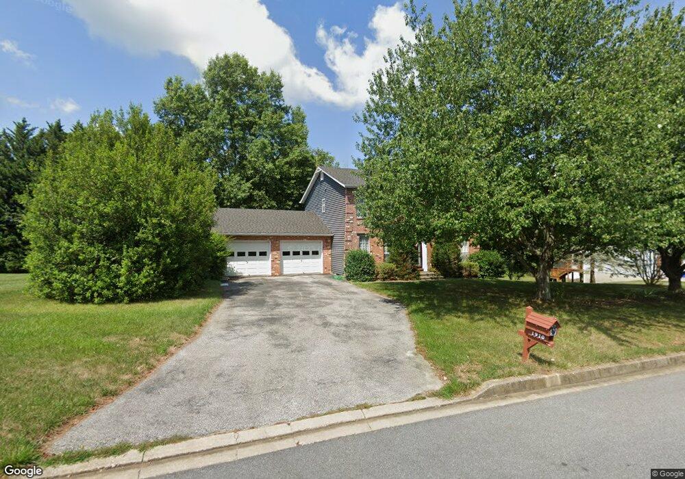
1910 Upper Forde Ln Hampstead, MD 21074
Estimated Value: $426,000 - $526,000
Studio
3
Baths
2,040
Sq Ft
$231/Sq Ft
Est. Value
About This Home
This home is located at 1910 Upper Forde Ln, Hampstead, MD 21074 and is currently estimated at $471,270, approximately $231 per square foot. 1910 Upper Forde Ln is a home located in Carroll County with nearby schools including Spring Garden Elementary School, Shiloh Middle School, and Manchester Valley High School.
Ownership History
Date
Name
Owned For
Owner Type
Purchase Details
Closed on
Jun 28, 1995
Sold by
Straitz E M
Bought by
Yost Jonathan C
Current Estimated Value
Home Financials for this Owner
Home Financials are based on the most recent Mortgage that was taken out on this home.
Original Mortgage
$100,000
Interest Rate
7.8%
Purchase Details
Closed on
Nov 21, 1988
Sold by
Hill Martin K P
Bought by
Straitz Gary A
Create a Home Valuation Report for This Property
The Home Valuation Report is an in-depth analysis detailing your home's value as well as a comparison with similar homes in the area
Home Values in the Area
Average Home Value in this Area
Purchase History
We collect this data history from publicly available records. To have your information removed, we recommend requesting removal directly through your county’s website.
| Date | Buyer | Sale Price | Title Company |
|---|---|---|---|
| Yost Jonathan C | $170,500 | -- | |
| Straitz Gary A | $165,800 | -- |
Source: Public Records
Mortgage History
We collect this data history from publicly available records. To have your information removed, we recommend requesting removal directly through your county’s website.
| Date | Status | Borrower | Loan Amount |
|---|---|---|---|
| Closed | Yost Jonathan C | $100,000 |
Source: Public Records
Tax History
| Year | Tax Paid | Tax Assessment Tax Assessment Total Assessment is a certain percentage of the fair market value that is determined by local assessors to be the total taxable value of land and additions on the property. | Land | Improvement |
|---|---|---|---|---|
| 2025 | $4,556 | $340,200 | $128,000 | $212,200 |
| 2024 | $4,339 | $323,000 | $0 | $0 |
| 2023 | $4,069 | $305,800 | $0 | $0 |
| 2022 | $3,867 | $288,600 | $128,000 | $160,600 |
| 2021 | $7,763 | $287,533 | $0 | $0 |
| 2020 | $3,838 | $286,467 | $0 | $0 |
| 2019 | $3,533 | $285,400 | $128,000 | $157,400 |
| 2018 | $3,707 | $276,700 | $0 | $0 |
| 2017 | $3,591 | $268,000 | $0 | $0 |
| 2016 | -- | $259,300 | $0 | $0 |
| 2015 | -- | $259,300 | $0 | $0 |
| 2014 | -- | $259,300 | $0 | $0 |
Source: Public Records
Map
Nearby Homes
- 4023 Sickle Dr
- 1909 Hanover Pike
- 1916 Hanover Pike
- 4233 Tumbrell Dr
- 1645 Saint Paul St
- 4210 Mead Dr
- 2092 Triple Green Ct
- 1609 Fairmount Rd
- TBD Sommerfield Dr
- TBD Sommerfield Dr Unit (5 ACRES)
- 4211 S Hunter Rd
- 1421 N Main St
- 4222R Upper Beckleysville Rd
- 0 Hanover Pike Unit MDCR2024542
- 0 Dave Rill Rd
- 1402 Burnside Dr
- 3810 Sunnyfield Ct Unit 1B
- 3939 Brittany Ln
- 3815 Sunnyfield Ct Unit 2C
- 2520 Shoal Creek Dr
- 1920 Upper Forde Ln
- 1900 Upper Forde Ln
- 1911 Upper Forde Ln
- 1921 Upper Forde Ln
- 1901 Upper Forde Ln
- 1930 Upper Forde Ln
- 3989 Farmwoods Ln
- 1890 Upper Forde Ln
- 1931 Upper Forde Ln
- 3987 Farmwoods Ln
- 4105 Murphys Run Ct
- 4000 Farmwoods Ln
- 4010 Yoke Dr
- 1940 Upper Forde Ln
- 4107 Murphys Run Ct
- 3985 Farmwoods Ln
- 1888 Upper Forde Ln
- 4012 Yoke Dr
- 4103 Murphys Run Ct
- 4002 Harrowsmith Dr
Your Personal Tour Guide
Ask me questions while you tour the home.