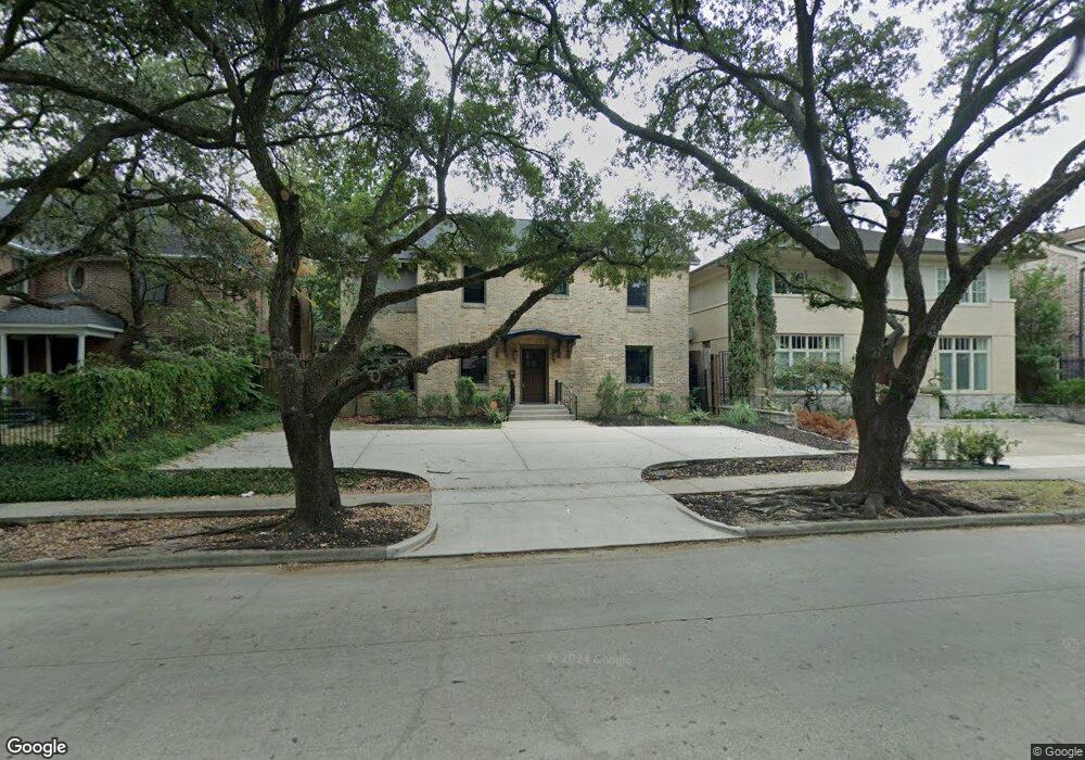
1911 Bissonnet St Unit D Houston, TX 77005
University Place NeighborhoodEstimated Value: $897,000 - $1,364,000
Studio
1
Bath
2,788
Sq Ft
$391/Sq Ft
Est. Value
About This Home
This home is located at 1911 Bissonnet St Unit D, Houston, TX 77005 and is currently estimated at $1,088,874, approximately $390 per square foot. 1911 Bissonnet St Unit D is a home located in Harris County with nearby schools including Poe Elementary School, Lanier Middle School, and Lamar High School.
Ownership History
Date
Name
Owned For
Owner Type
Purchase Details
Closed on
Nov 19, 2016
Sold by
Palathinkara Vinod
Bought by
Palathinkara Rajashree and Palathinkara Rajashree
Current Estimated Value
Purchase Details
Closed on
May 2, 2016
Sold by
Barrier Rebecca M
Bought by
Palathinkara Vinod and Palathinkara Rajasree
Home Financials for this Owner
Home Financials are based on the most recent Mortgage that was taken out on this home.
Original Mortgage
$500,000
Interest Rate
3.71%
Mortgage Type
New Conventional
Create a Home Valuation Report for This Property
The Home Valuation Report is an in-depth analysis detailing your home's value as well as a comparison with similar homes in the area
Home Values in the Area
Average Home Value in this Area
Purchase History
| Date | Buyer | Sale Price | Title Company |
|---|---|---|---|
| Palathinkara Rajashree | -- | None Available | |
| Palathinkara Vinod | -- | None Available |
Source: Public Records
Mortgage History
| Date | Status | Borrower | Loan Amount |
|---|---|---|---|
| Previous Owner | Palathinkara Vinod | $500,000 |
Source: Public Records
Tax History
| Year | Tax Paid | Tax Assessment Tax Assessment Total Assessment is a certain percentage of the fair market value that is determined by local assessors to be the total taxable value of land and additions on the property. | Land | Improvement |
|---|---|---|---|---|
| 2025 | $16,877 | $810,990 | $567,000 | $243,990 |
| 2024 | $16,877 | $806,586 | $567,000 | $239,586 |
| 2023 | $16,877 | $806,586 | $567,000 | $239,586 |
| 2022 | $16,094 | $730,908 | $567,000 | $163,908 |
| 2021 | $16,763 | $719,238 | $510,300 | $208,938 |
| 2020 | $16,115 | $665,461 | $491,400 | $174,061 |
| 2019 | $16,727 | $661,029 | $434,700 | $226,329 |
| 2018 | $13,116 | $518,340 | $434,700 | $83,640 |
| 2017 | $13,107 | $518,340 | $434,700 | $83,640 |
| 2016 | $13,107 | $518,340 | $434,700 | $83,640 |
| 2015 | $12,649 | $518,340 | $434,700 | $83,640 |
| 2014 | $12,649 | $492,040 | $351,540 | $140,500 |
Source: Public Records
Map
Nearby Homes
- 1905 Bissonnet St
- 1836 Wroxton Rd
- 1927 South Blvd
- 1740 Wroxton Ct
- 5401 Ashby St
- 2042 Bissonnet St
- 1902 Bolsover St
- 1804 Bolsover St
- 1723 Albans Rd
- 2103 South Blvd
- 2102 Tangley St
- 1911 Milford St
- 1702 South Blvd
- 1705 North Blvd
- 2129 Quenby St
- 2135 Quenby St
- 2016 Milford St
- 2123 Dunstan Rd
- 1741 Banks St
- 2210 Bartlett St
- 1911 Bissonnet St
- 1911 Bissonnet St Unit C
- 1911 Bissonnet St Unit A
- 1911 Bissonnet St Unit B
- 1915 Bissonnet St
- 1919 Bissonnet St
- 1901 Bissonnet St
- 1910 Wroxton Rd
- 1914 Wroxton Rd
- 1906 Wroxton Rd
- 1925 Bissonnet St
- 1912 Bissonnet St
- 1918 Wroxton Rd
- 1908 Bissonnet St
- 1902 Wroxton Rd
- 1904 Bissonnet St
- 1922 Wroxton Rd
- 1927 Bissonnet St
- 1900 Bissonnet St
- 1914 Bissonnet St
Your Personal Tour Guide
Ask me questions while you tour the home.