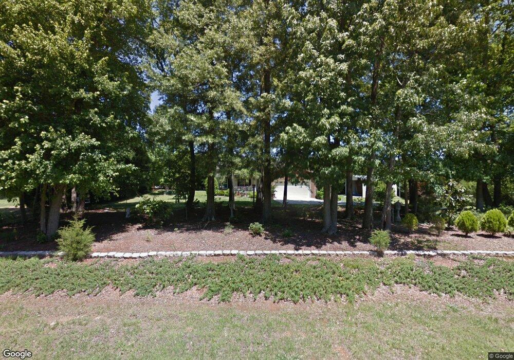
1912 Kings Pointe Dr Monroe, NC 28112
Estimated Value: $351,000 - $392,000
Studio
2
Baths
1,440
Sq Ft
$256/Sq Ft
Est. Value
About This Home
This home is located at 1912 Kings Pointe Dr, Monroe, NC 28112 and is currently estimated at $369,158, approximately $256 per square foot. 1912 Kings Pointe Dr is a home located in Union County with nearby schools including Walter Bickett Elementary School, Monroe Middle School, and Monroe High School.
Ownership History
Date
Name
Owned For
Owner Type
Purchase Details
Closed on
Feb 1, 2023
Sold by
Jordan Charles K and Jordan Pauline S
Bought by
Jordan Charles K and Jordan Pauline S
Current Estimated Value
Purchase Details
Closed on
Aug 5, 2003
Sold by
West Handy Obrian and West Lisa M
Bought by
Jordan Charles K
Home Financials for this Owner
Home Financials are based on the most recent Mortgage that was taken out on this home.
Original Mortgage
$127,798
Interest Rate
5.24%
Mortgage Type
FHA
Create a Home Valuation Report for This Property
The Home Valuation Report is an in-depth analysis detailing your home's value as well as a comparison with similar homes in the area
Purchase History
| Date | Buyer | Sale Price | Title Company |
|---|---|---|---|
| Jordan Charles K | -- | -- | |
| Jordan Charles K | -- | None Listed On Document | |
| Jordan Charles K | $140,000 | -- |
Source: Public Records
Mortgage History
| Date | Status | Borrower | Loan Amount |
|---|---|---|---|
| Previous Owner | Jordan Charles K | $127,798 |
Source: Public Records
Tax History
| Year | Tax Paid | Tax Assessment Tax Assessment Total Assessment is a certain percentage of the fair market value that is determined by local assessors to be the total taxable value of land and additions on the property. | Land | Improvement |
|---|---|---|---|---|
| 2025 | $1,796 | $372,900 | $0 | $0 |
| 2024 | $1,715 | $266,600 | $48,400 | $218,200 |
| 2023 | $1,691 | $266,600 | $48,400 | $218,200 |
| 2022 | $1,691 | $266,600 | $48,400 | $218,200 |
| 2021 | $1,680 | $266,600 | $48,400 | $218,200 |
| 2020 | $1,186 | $153,780 | $22,380 | $131,400 |
| 2019 | $1,209 | $153,780 | $22,380 | $131,400 |
| 2018 | $1,209 | $153,780 | $22,380 | $131,400 |
| 2017 | $1,288 | $153,800 | $22,400 | $131,400 |
| 2016 | $1,246 | $153,780 | $22,380 | $131,400 |
| 2015 | $1,267 | $153,780 | $22,380 | $131,400 |
| 2014 | $1,087 | $160,570 | $29,220 | $131,350 |
Source: Public Records
Map
Nearby Homes
- 2503 Lancaster Hwy
- 00 Doster Rd
- 0 Avery Parker Rd
- 0 Lancaster Hwy
- 00 Lancaster Ave
- 2502 Waverly Dr
- 2209 Waverly Dr
- 0 White Oaks Cir Unit 41-44 CAR4254996
- 1006 Midwood Dr
- 1202 Midwood Dr
- 1901 Waverly Dr
- 2608 Corinth Church Rd
- 1420 Honey Trail
- 1412 Honey Trail
- 1438 Honey Trail
- 1421 Honey Trail
- 1450 Honey Trail
- 1464 Honey Trail
- 1460 Honey Trail Unit 78
- 1460 Honey Trail
- 1908 Kings Pointe Dr
- 1918 Kings Pointe Dr
- 1919 Lancaster Ave
- 1913 Kings Pointe Dr
- 1904 Kings Pointe Dr
- 1907 Kings Pointe Dr
- 2501 Lancaster Hwy
- 1901 Kings Pointe Dr
- 1900 Kings Pointe Dr
- 2408 Lancaster Hwy
- 2323 Lancaster Hwy
- 2418 Lancaster Hwy
- 2504 Lancaster Hwy
- 2404 Lancaster Hwy
- 2420 Highway 200 Hwy
- 2514 Lancaster Hwy
- 2416 Lancaster Hwy
- 2305 Lancaster Hwy
- 3 Doster Rd
- 1219 Autumn Cove
Your Personal Tour Guide
Ask me questions while you tour the home.