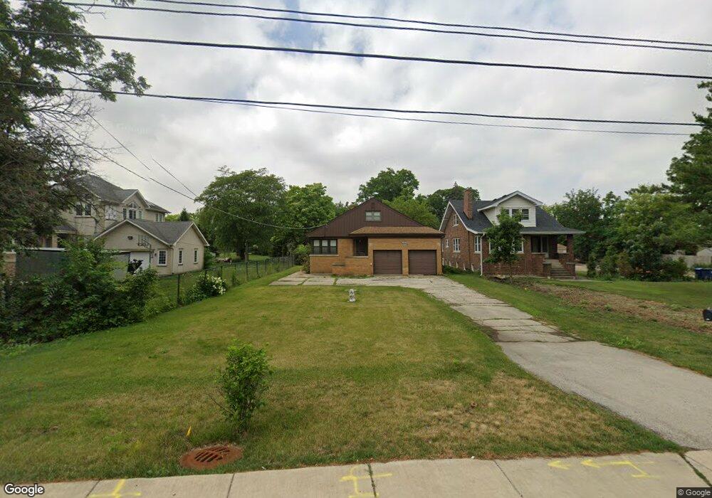
1912 S River Rd Des Plaines, IL 60018
Des Plaines AreaEstimated Value: $374,000 - $442,235
About This Home
This home is located at 1912 S River Rd, Des Plaines, IL 60018 and is currently estimated at $412,309, approximately $271 per square foot. 1912 S River Rd is a home located in Cook County with nearby schools including South Elementary School, Algonquin Middle School, and Maine West High School.
Ownership History
We collect this data history from publicly available records. To have your information removed, we recommend requesting removal directly through your county’s website.
Purchase Details
Purchase Details
Home Values in the Area
Average Home Value in this Area
Purchase History
We collect this data history from publicly available records. To have your information removed, we recommend requesting removal directly through your county’s website.
| Date | Buyer | Sale Price | Title Company |
|---|---|---|---|
| $25,000 | None Available | ||
| -- | None Available |
Tax History
We collect this data history from publicly available records. To have your information removed, we recommend requesting removal directly through your county’s website.
| Year | Tax Paid | Tax Assessment Tax Assessment Total Assessment is a certain percentage of the fair market value that is determined by local assessors to be the total taxable value of land and additions on the property. | Land | Improvement |
|---|---|---|---|---|
| 2025 | $6,336 | $36,000 | $15,700 | $20,300 |
| 2024 | $6,336 | $30,000 | $13,083 | $16,917 |
| 2023 | $6,135 | $30,000 | $13,083 | $16,917 |
| 2022 | $6,135 | $30,000 | $13,083 | $16,917 |
| 2021 | $6,598 | $27,461 | $10,902 | $16,559 |
| 2020 | $6,611 | $27,461 | $10,902 | $16,559 |
| 2019 | $7,245 | $33,095 | $10,902 | $22,193 |
| 2018 | $5,591 | $25,565 | $9,594 | $15,971 |
| 2017 | $5,527 | $25,565 | $9,594 | $15,971 |
| 2016 | $6,929 | $28,145 | $9,594 | $18,551 |
| 2015 | $5,480 | $23,372 | $8,285 | $15,087 |
| 2014 | $5,396 | $23,372 | $8,285 | $15,087 |
| 2013 | $4,831 | $21,712 | $8,285 | $13,427 |
Map
- 1640 S River Rd
- 1972 Fargo Ave
- 1645 Stockton Ave
- 1610 Stockton Ave
- 1953 Illinois St
- 1988 E Touhy Ave
- 2913 W Sibley St
- 1446 Everett Ave
- 75 Boardwalk Place Unit 103
- 1819 Krowka Dr
- 1738 Whitcomb Ave
- 125 Boardwalk Place Unit 201
- 1509 Center St
- 2519 Parkwood Ln
- 1370 Fargo Ave Unit E
- 22 Park Ln Unit 204
- 22 Park Ln Unit 111
- 44 Park Ln Unit 223
- 1678 Ash St
- 1717 Mannheim Rd
- 1904 S River Rd
- 1881 Cedar Ct
- 1873 Cedar Ct
- 1884 S River Rd
- 1876 S River Rd
- 1884 Cedar Ct
- 1922 S River Rd
- 1866 S River Rd
- 1874 Cedar Ct
- 1950 Stockton Ave
- 1855 Cedar Ct
- 1940 Stockton Ave
- 1895 Birch St
- 1864 Cedar Ct
- 1960 Stockton Ave
- 1930 Stockton Ave
- 1844 Cedar Ct
- 1885 Birch St
- 1905 Birch St
- 1920 Stockton Ave
Ask me questions while you tour the home.