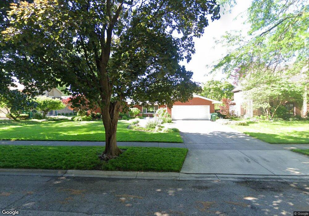
1913 Lambert Ln Munster, IN 46321
Estimated Value: $491,110 - $510,000
About This Home
This home is located at 1913 Lambert Ln, Munster, IN 46321 and is currently estimated at $502,037, approximately $214 per square foot. 1913 Lambert Ln is a home located in Lake County with nearby schools including Munster High School, St. Thomas More School, and Highland Christian School.
Ownership History
We collect this data history from publicly available records. To have your information removed, we recommend requesting removal directly through your county’s website.
Purchase Details
Home Financials for this Owner
Home Financials are based on the most recent Mortgage that was taken out on this home.Home Values in the Area
Average Home Value in this Area
Purchase History
We collect this data history from publicly available records. To have your information removed, we recommend requesting removal directly through your county’s website.
| Date | Buyer | Sale Price | Title Company |
|---|---|---|---|
| -- | None Available |
Mortgage History
We collect this data history from publicly available records. To have your information removed, we recommend requesting removal directly through your county’s website.
| Date | Status | Borrower | Loan Amount |
|---|---|---|---|
| Closed | $294,500 |
Tax History
We collect this data history from publicly available records. To have your information removed, we recommend requesting removal directly through your county’s website.
| Year | Tax Paid | Tax Assessment Tax Assessment Total Assessment is a certain percentage of the fair market value that is determined by local assessors to be the total taxable value of land and additions on the property. | Land | Improvement |
|---|---|---|---|---|
| 2025 | $5,169 | $490,700 | $73,600 | $417,100 |
| 2024 | $11,947 | $443,100 | $73,600 | $369,500 |
| 2023 | $4,819 | $390,800 | $78,800 | $312,000 |
| 2022 | $4,819 | $360,500 | $78,800 | $281,700 |
| 2021 | $4,280 | $320,500 | $46,300 | $274,200 |
| 2020 | $4,169 | $311,700 | $46,300 | $265,400 |
| 2019 | $3,976 | $302,700 | $46,300 | $256,400 |
| 2018 | $4,441 | $290,000 | $46,300 | $243,700 |
| 2017 | $4,377 | $285,400 | $46,300 | $239,100 |
| 2016 | $4,159 | $283,100 | $46,300 | $236,800 |
| 2014 | $4,152 | $278,600 | $46,300 | $232,300 |
| 2013 | $3,975 | $272,700 | $46,300 | $226,400 |
Map
- 8837 Parkway Dr
- 8844 Oakwood Ave
- 2116 Ridge Rd
- 1634 Wilson St
- 9041 Revere Ct
- 2217 Martha St Unit B2
- 2329 Ridgewood St
- 9220 Wildwood Dr
- 2288 Bordeaux Walk Unit D2
- 8201 Castle Dr
- 1839 Bluebird Ln
- 2305 Martha St Unit D2
- 9205 Idlewild Dr
- 8306 Crestwood Ave
- 8348 Castle Dr
- 9138 Southmoor Ave
- 1637 Holly Ln
- 9300 Chestnut Ln
- 2418 Ridge Rd
- 8245 Baring Ave
- 1919 Lambert Ln
- 1905 Lambert Ln
- 1906 Mirmar Ln
- 1906 Mirmar Rd
- 1918 Mirmar Ln
- 1918 Mirmar Rd
- 1925 Lambert Ln
- 1912 Lambert Ln
- 1900 Mirmar Ln
- 1918 Lambert Ln
- 1924 Mirmar Ln
- 1900 Lambert Ln
- 1924 Lambert Ln
- 1835 Lambert Ln
- 1842 Lambert Ln
- 1907 Fisher St
- 1919 Fisher St
- 1901 Fisher St
- 1901 Mirmar Ln
- 1901 Mirmar Rd
Ask me questions while you tour the home.