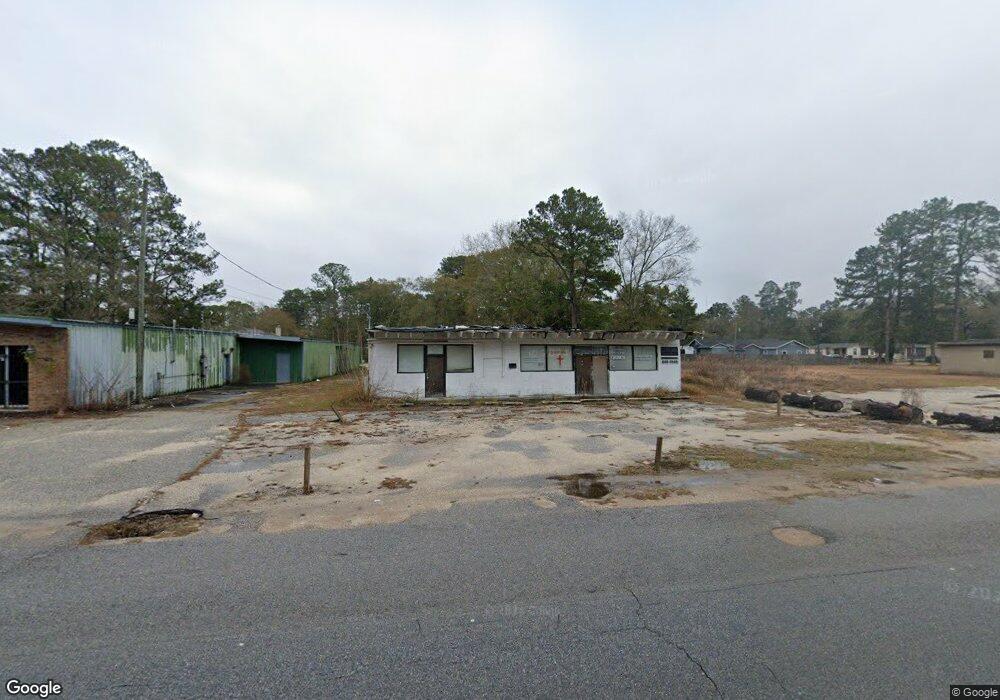
1919 Bear Fork Rd Mobile, AL 36612
Whistler NeighborhoodEstimated Value: $70,181
Studio
1
Bath
2,576
Sq Ft
$27/Sq Ft
Est. Value
About This Home
This home is located at 1919 Bear Fork Rd, Mobile, AL 36612 and is currently estimated at $70,181, approximately $27 per square foot. 1919 Bear Fork Rd is a home located in Mobile County with nearby schools including Chastang-Fournier K-8 School, Vigor High School, and Prichard Preparatory School.
Ownership History
Date
Name
Owned For
Owner Type
Purchase Details
Closed on
Jul 15, 2020
Sold by
Burks Property Management Llc
Bought by
Pkays Investments Inc
Current Estimated Value
Home Financials for this Owner
Home Financials are based on the most recent Mortgage that was taken out on this home.
Original Mortgage
$40,000
Outstanding Balance
$35,231
Interest Rate
3.1%
Mortgage Type
New Conventional
Estimated Equity
$34,950
Purchase Details
Closed on
Sep 4, 2007
Sold by
Estate Of William L Burks Jr
Bought by
Love Joycelyn Burks and Howard Mona Burks
Purchase Details
Closed on
Aug 30, 2007
Sold by
Love Joycelyn Burks and Howard Mona Burks
Bought by
Burks Property Management Llc
Create a Home Valuation Report for This Property
The Home Valuation Report is an in-depth analysis detailing your home's value as well as a comparison with similar homes in the area
Home Values in the Area
Average Home Value in this Area
Purchase History
| Date | Buyer | Sale Price | Title Company |
|---|---|---|---|
| Pkays Investments Inc | $50,000 | Slt | |
| Love Joycelyn Burks | -- | None Available | |
| Burks Property Management Llc | $54,400 | None Available |
Source: Public Records
Mortgage History
| Date | Status | Borrower | Loan Amount |
|---|---|---|---|
| Open | Pkays Investments Inc | $40,000 |
Source: Public Records
Tax History
| Year | Tax Paid | Tax Assessment Tax Assessment Total Assessment is a certain percentage of the fair market value that is determined by local assessors to be the total taxable value of land and additions on the property. | Land | Improvement |
|---|---|---|---|---|
| 2025 | $794 | $11,720 | $3,500 | $8,220 |
| 2024 | $794 | $15,420 | $3,500 | $11,920 |
| 2023 | $948 | $11,840 | $3,500 | $8,340 |
| 2022 | $621 | $10,100 | $1,760 | $8,340 |
| 2021 | $667 | $10,840 | $1,720 | $9,120 |
| 2020 | $699 | $10,840 | $1,720 | $9,120 |
| 2019 | $665 | $10,820 | $1,720 | $9,100 |
| 2018 | $665 | $10,820 | $0 | $0 |
| 2017 | $665 | $10,820 | $0 | $0 |
| 2016 | $1,154 | $0 | $0 | $0 |
| 2013 | $604 | $9,480 | $0 | $0 |
Source: Public Records
Map
Nearby Homes
- 3728 Vinewood Dr
- 3603 St Stephens Rd
- 3514 Anton St
- 3531 Anton St
- 0 Bear Fork Rd Unit 7268786
- 1705 Wolf Ridge Rd
- 1904 S Shelton Beach Rd
- 1659 Hand Ave
- 752 Elba Ave
- 814 S Wasson Ave
- 1734 S Atmore Ave
- 638 Elba Ave
- 129 S Gould Ave
- 6632 Monarch Cir
- 2970 Persons St
- 4304 Dalton Dr
- 0 Junius Ln
- 2210 Wolf Ridge Rd
- 4453 Myers Rd
- 300 S Shelton Beach Rd
- 1911 Bear Fork Rd
- 1926 Bear Fork Rd
- 1903 Bear Fork Rd
- 3625 Amber St
- 3624 Dial St
- 1906 Bear Fork Rd
- 1922 Bear Fork Rd
- 1831 Bear Fork Rd
- 3618 Dial St
- 3623 Amber St
- 2009 Bear Fork Rd
- 3640 Amber St
- 1914 Oates Ave
- 1920 Oates Ave
- 3625 Dial St
- 3623 Dial St
- 1910 Oates Ave
- 1926 Oates St
- 3518 Amber St
- 3619 Amber St
Your Personal Tour Guide
Ask me questions while you tour the home.