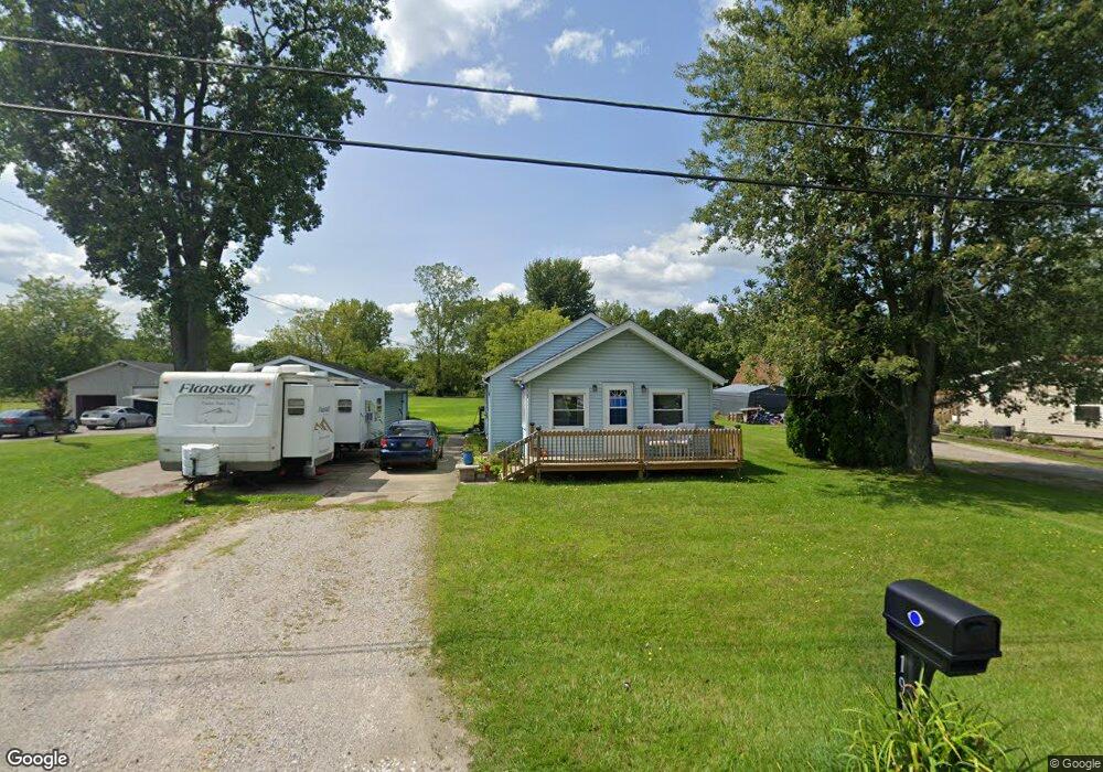
1919 Omar Rd Kimball, MI 48074
Kimball AreaEstimated Value: $161,000 - $179,000
About This Home
This home is located at 1919 Omar Rd, Kimball, MI 48074 and is currently estimated at $168,608, approximately $160 per square foot. 1919 Omar Rd is a home located in St. Clair County with nearby schools including Kimball Elementary School, Central Middle School, and Port Huron High School.
Ownership History
We collect this data history from publicly available records. To have your information removed, we recommend requesting removal directly through your county’s website.
Purchase Details
Purchase Details
Home Financials for this Owner
Home Financials are based on the most recent Mortgage that was taken out on this home.Purchase Details
Purchase Details
Purchase Details
Home Financials for this Owner
Home Financials are based on the most recent Mortgage that was taken out on this home.Home Values in the Area
Average Home Value in this Area
Purchase History
We collect this data history from publicly available records. To have your information removed, we recommend requesting removal directly through your county’s website.
| Date | Buyer | Sale Price | Title Company |
|---|---|---|---|
| -- | Huron Title Company | ||
| $60,000 | Metropolitan Title Co | ||
| $100,820 | None Available | ||
| -- | None Available | ||
| $113,000 | None Available | ||
| $201,000 | None Available |
Mortgage History
We collect this data history from publicly available records. To have your information removed, we recommend requesting removal directly through your county’s website.
| Date | Status | Borrower | Loan Amount |
|---|---|---|---|
| Open | $57,000 | ||
| Previous Owner | $59,000 | ||
| Previous Owner | $107,000 | ||
| Previous Owner | $201,000 |
Tax History
We collect this data history from publicly available records. To have your information removed, we recommend requesting removal directly through your county’s website.
| Year | Tax Paid | Tax Assessment Tax Assessment Total Assessment is a certain percentage of the fair market value that is determined by local assessors to be the total taxable value of land and additions on the property. | Land | Improvement |
|---|---|---|---|---|
| 2025 | $588 | $63,800 | $0 | $0 |
| 2024 | $570 | $59,700 | $0 | $0 |
| 2023 | $522 | $57,500 | $0 | $0 |
| 2022 | $1,003 | $47,900 | $0 | $0 |
| 2020 | $1,808 | $45,000 | $0 | $45,000 |
| 2019 | $1,102 | $37,300 | $0 | $0 |
| 2018 | $1,136 | $35,000 | $0 | $0 |
| 2017 | $1,139 | $36,100 | $0 | $0 |
| 2016 | $430 | $36,100 | $0 | $0 |
| 2015 | -- | $35,000 | $9,400 | $25,600 |
| 2014 | -- | $30,200 | $9,400 | $20,800 |
| 2013 | -- | $39,200 | $0 | $0 |
Map
- V/L Allen Rd
- 1908 Range Rd
- 0 Allen Rd Unit 50213817
- 5080 Dove Rd
- 0000 Range Rd
- 1405 Range Rd
- 1434 Allen Rd
- 00 Range Rd
- 1383 Allen Rd
- 4382 Wall Rd
- 5418 Dove Rd
- 4761 Lapeer Rd
- 0 Wall Rd Unit 50185999
- 0 Wall Rd Unit 50213922
- 0 Lapeer Rd Unit 50137357
- 2396 Wadhams Rd
- 1863 Wadhams Rd
- 2411 Wadhams Rd
- 4118 Griswold Rd
- 0 Wadhams Rd Unit 50155021
Ask me questions while you tour the home.