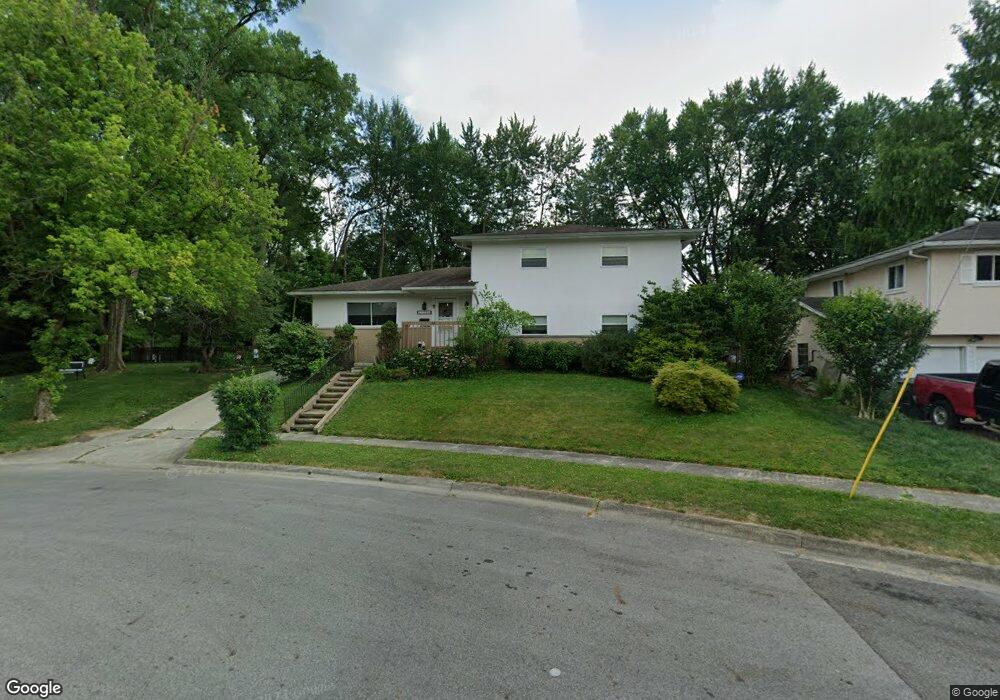
1919 Radnor Ave Columbus, OH 43224
North Linden NeighborhoodEstimated Value: $307,489 - $333,000
5
Beds
2
Baths
1,832
Sq Ft
$177/Sq Ft
Est. Value
About This Home
This home is located at 1919 Radnor Ave, Columbus, OH 43224 and is currently estimated at $324,872, approximately $177 per square foot. 1919 Radnor Ave is a home located in Franklin County with nearby schools including North Linden Elementary School, Medina Middle School, and Mifflin High School.
Ownership History
Date
Name
Owned For
Owner Type
Purchase Details
Closed on
May 23, 2025
Sold by
Leary Doug and Leary Brian
Bought by
Leary Family Realty Living Trust and Leary
Current Estimated Value
Purchase Details
Closed on
Apr 24, 2006
Sold by
Estate Of Roy L Leary
Bought by
Leary Helen A
Purchase Details
Closed on
Jul 27, 1967
Bought by
Leary Roy L and Leary Helen A
Create a Home Valuation Report for This Property
The Home Valuation Report is an in-depth analysis detailing your home's value as well as a comparison with similar homes in the area
Home Values in the Area
Average Home Value in this Area
Purchase History
| Date | Buyer | Sale Price | Title Company |
|---|---|---|---|
| Leary Family Realty Living Trust | -- | None Listed On Document | |
| Leary Helen A | -- | None Available | |
| Leary Roy L | -- | -- |
Source: Public Records
Tax History
| Year | Tax Paid | Tax Assessment Tax Assessment Total Assessment is a certain percentage of the fair market value that is determined by local assessors to be the total taxable value of land and additions on the property. | Land | Improvement |
|---|---|---|---|---|
| 2025 | $4,436 | $98,850 | $18,450 | $80,400 |
| 2024 | $4,436 | $98,850 | $18,450 | $80,400 |
| 2023 | $3,973 | $98,840 | $18,445 | $80,395 |
| 2022 | $2,616 | $59,190 | $8,580 | $50,610 |
| 2021 | $2,621 | $59,190 | $8,580 | $50,610 |
| 2020 | $2,624 | $59,190 | $8,580 | $50,610 |
| 2019 | $2,416 | $48,580 | $7,140 | $41,440 |
| 2018 | $2,314 | $48,580 | $7,140 | $41,440 |
| 2017 | $2,428 | $48,580 | $7,140 | $41,440 |
| 2016 | $2,442 | $45,610 | $6,410 | $39,200 |
| 2015 | $2,217 | $45,610 | $6,410 | $39,200 |
| 2014 | $2,222 | $45,610 | $6,410 | $39,200 |
| 2013 | $1,168 | $48,020 | $6,755 | $41,265 |
Source: Public Records
Map
Nearby Homes
- 1887 E Cooke Rd Unit A
- 1885 Case Rd
- 1936 Case Rd
- 2010 Melrose Ave
- 2081 Ormond Ave
- 3750 Dresden St
- 2023 Ferris Rd
- 1863 Ward Rd
- 2100 Ferris Rd
- 2173 Sale Rd
- 1946 Lehner Rd
- 2195 Ferris Rd
- 2201 Ferris Rd
- 2220 Sale Rd
- 3508 Kenlawn St
- 3569 Dresden St
- 2267 Ferris Rd
- 3498 Bremen St
- 3835 Fayette Dr
- 3543 Norwood St
- 1913 Radnor Ave
- 1905 Radnor Ave
- 3830 Bernard Place
- 1897 Radnor Ave
- 1928 E Cooke Rd
- 3847 Bernard Place
- 3836 Bernard Place
- 1912 Radnor Ave
- 1904 Radnor Ave
- 1930 E Cooke Rd
- 1889 Radnor Ave
- 3846 Bernard Place
- 1926 E Cooke Rd
- 1898 Radnor Ave
- 1880 E Cooke Rd
- 3856 Bernard Place
- 3827 Walford St
- 3821 Walford St
- 1888 Radnor Ave
- 1900 E Cooke Rd
Your Personal Tour Guide
Ask me questions while you tour the home.