192 Collins Rd Tignall, GA 30668
Estimated Value: $175,000 - $340,726
2
Beds
1
Bath
1,484
Sq Ft
$174/Sq Ft
Est. Value
About This Home
This home is located at 192 Collins Rd, Tignall, GA 30668 and is currently estimated at $257,863, approximately $173 per square foot. 192 Collins Rd is a home located in Wilkes County with nearby schools including Washington-Wilkes Elementary School, Washington-Wilkes Primary School, and Washington-Wilkes Middle School.
Ownership History
Date
Name
Owned For
Owner Type
Purchase Details
Closed on
Apr 7, 2011
Sold by
Clark Tommy
Bought by
Clark Thomas G and Clark Kathy M
Current Estimated Value
Purchase Details
Closed on
May 20, 2010
Sold by
Johnson Claude E
Bought by
Clark Tommy and Clark Kathy
Purchase Details
Closed on
Aug 1, 1987
Bought by
Johnson Claude
Purchase Details
Closed on
Mar 1, 1983
Create a Home Valuation Report for This Property
The Home Valuation Report is an in-depth analysis detailing your home's value as well as a comparison with similar homes in the area
Purchase History
We collect this data history from publicly available records. To have your information removed, we recommend requesting removal directly through your county’s website.
| Date | Buyer | Sale Price | Title Company |
|---|---|---|---|
| Clark Thomas G | -- | -- | |
| Clark Tommy | -- | -- | |
| Johnson Claude | $45,000 | -- | |
| -- | $70,000 | -- |
Source: Public Records
Tax History
| Year | Tax Paid | Tax Assessment Tax Assessment Total Assessment is a certain percentage of the fair market value that is determined by local assessors to be the total taxable value of land and additions on the property. | Land | Improvement |
|---|---|---|---|---|
| 2025 | $1,586 | $72,128 | $52,102 | $20,026 |
| 2024 | $1,583 | $72,128 | $52,102 | $20,026 |
| 2023 | $1,530 | $72,128 | $52,102 | $20,026 |
| 2022 | $2,341 | $82,245 | $60,287 | $21,958 |
| 2021 | $2,396 | $82,245 | $60,287 | $21,958 |
| 2020 | $1,639 | $82,245 | $60,287 | $21,958 |
| 2019 | $1,504 | $78,230 | $60,287 | $17,943 |
| 2018 | $2,272 | $78,230 | $60,287 | $17,943 |
| 2017 | $2,272 | $78,230 | $60,287 | $17,943 |
| 2016 | $1,374 | $78,230 | $60,287 | $17,943 |
| 2015 | -- | $60,287 | $60,287 | $17,943 |
| 2014 | -- | $78,230 | $60,287 | $17,943 |
| 2013 | -- | $79,229 | $60,286 | $18,942 |
Source: Public Records
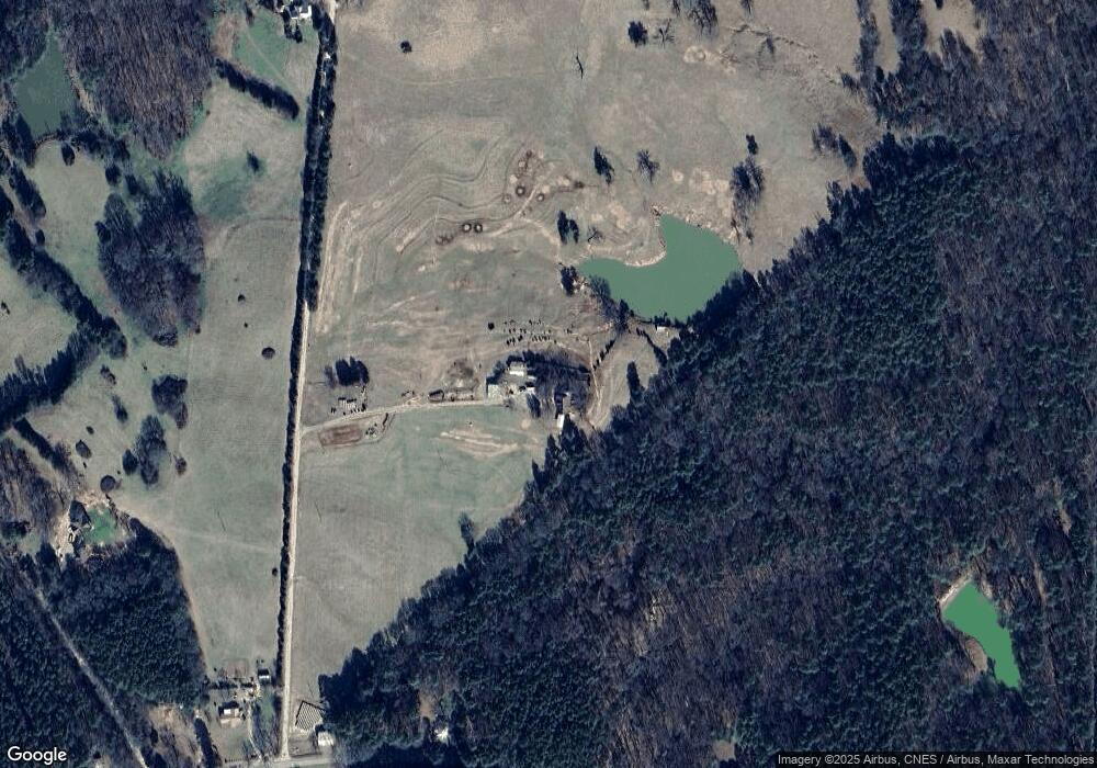
Map
Nearby Homes
- 0 Hollis Norman Rd Unit 10657647
- 0 Hollis Norman Rd
- 15 Hollis Norman Rd
- 8 Hollis Norman Rd
- 1 Bunch Rd
- 4 Bunch Rd
- 191 Bunch Rd
- Rocky Smith Branch Rd
- 1 Smith Rocky Branch Rd
- 0 Get A Way Ln
- Lot D Newtown Rd
- Lot C Newtown Rd
- Lot B Newtown Rd
- 0 Newtown Rd
- Lot E Newtown Rd
- 349 New Hope Vesta Rd
- 592 Andrew Caldwell Road Tract 2a
- 179 Independence St
- 669 Pecan Grove Rd
- 1044 Sardis Rd
- 3171 Mallorysville Rd
- 321 Collins Rd
- 321 Collins Rd Unit Rd
- 3109 Mallorysville Rd
- 3243 Mallorysville Rd
- 176 Dunk Hill Rd
- 3103 Mallorysville Rd
- 3112 Mallorysville Rd
- 3230 Mallorysville Rd
- 113 Clark Station Church Rd
- 4455 Newtown Rd
- 197 Clark Station Church Rd
- 182 Clark Station Church Rd
- 3016 Mallorysville Rd
- 2984 Mallorysville Rd
- 201 Clark Station Church Rd
- 156 Lamar Rd
- 299 Pete Johnson Rd
- 2779 Mallorysville Rd
- 320 Clark Station Church Rd
Your Personal Tour Guide
Ask me questions while you tour the home.