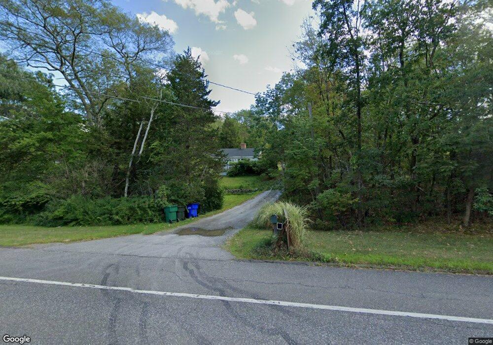
192 Kent Rd Warren, CT 06754
Estimated Value: $487,424 - $568,000
About This Home
This home is located at 192 Kent Rd, Warren, CT 06754 and is currently estimated at $530,475, approximately $360 per square foot. 192 Kent Rd is a home located in Litchfield County with nearby schools including Lakeview High School.
Ownership History
We collect this data history from publicly available records. To have your information removed, we recommend requesting removal directly through your county’s website.
Purchase Details
Home Financials for this Owner
Home Financials are based on the most recent Mortgage that was taken out on this home.Home Values in the Area
Average Home Value in this Area
Purchase History
We collect this data history from publicly available records. To have your information removed, we recommend requesting removal directly through your county’s website.
| Date | Buyer | Sale Price | Title Company |
|---|---|---|---|
| $30,000 | -- | ||
| $30,000 | -- |
Mortgage History
We collect this data history from publicly available records. To have your information removed, we recommend requesting removal directly through your county’s website.
| Date | Status | Borrower | Loan Amount |
|---|---|---|---|
| Closed | $100,000 | ||
| Closed | $35,000 |
Tax History
We collect this data history from publicly available records. To have your information removed, we recommend requesting removal directly through your county’s website.
| Year | Tax Paid | Tax Assessment Tax Assessment Total Assessment is a certain percentage of the fair market value that is determined by local assessors to be the total taxable value of land and additions on the property. | Land | Improvement |
|---|---|---|---|---|
| 2025 | $2,969 | $232,890 | $71,260 | $161,630 |
| 2024 | $2,969 | $232,890 | $71,260 | $161,630 |
| 2023 | $3,063 | $232,890 | $71,260 | $161,630 |
| 2022 | $2,693 | $190,310 | $74,890 | $115,420 |
| 2021 | $2,693 | $190,310 | $74,890 | $115,420 |
| 2020 | $2,712 | $190,310 | $74,890 | $115,420 |
| 2019 | $2,712 | $190,310 | $74,890 | $115,420 |
| 2018 | $2,712 | $190,310 | $74,890 | $115,420 |
| 2017 | $3,071 | $211,820 | $81,480 | $130,340 |
| 2016 | $3,040 | $211,820 | $81,480 | $130,340 |
| 2015 | $3,008 | $211,820 | $81,480 | $130,340 |
| 2014 | $3,008 | $211,820 | $81,480 | $130,340 |
Map
- 184B Kent Rd
- 8 Bobcat Ln
- 70 Reed Rd
- 34 Kent Hollow Rd
- 00 Upper Kent Hollow Rd
- 34 Kent Rd
- 178 Carter Rd
- 53 Mountain Lake Rd
- 0 Stonewall Unit 39
- 0 Lake Rd
- 22 Old Paddock Ln
- 11 Old Paddock Ln
- 39 Gorham Rd
- 9 Old Paddock Ln
- 00 Above All Rd
- 0 Mount Mauwee Rd
- 17 Old Homestead Ln
- 0 Gorham Rd Unit 24138133
- 270 Kent Hollow Rd
- 18 Arrow Point Rd
Ask me questions while you tour the home.