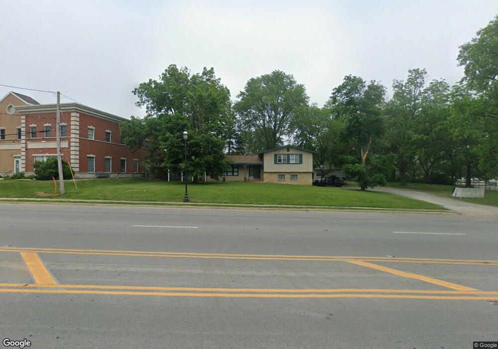
192 Main St NW Bourbonnais, IL 60914
Bourbonnais AreaEstimated Value: $219,000 - $279,000
About This Home
This home is located at 192 Main St NW, Bourbonnais, IL 60914 and is currently estimated at $250,513. 192 Main St NW is a home located in Kankakee County with nearby schools including Alan B. Shepard Elementary School, Liberty Intermediate School, and Bourbonnais Upper Grade Center.
Ownership History
We collect this data history from publicly available records. To have your information removed, we recommend requesting removal directly through your county’s website.
Purchase Details
Home Financials for this Owner
Home Financials are based on the most recent Mortgage that was taken out on this home.Home Values in the Area
Average Home Value in this Area
Purchase History
We collect this data history from publicly available records. To have your information removed, we recommend requesting removal directly through your county’s website.
| Date | Buyer | Sale Price | Title Company |
|---|---|---|---|
| $136,500 | Homestar Title Company |
Mortgage History
We collect this data history from publicly available records. To have your information removed, we recommend requesting removal directly through your county’s website.
| Date | Status | Borrower | Loan Amount |
|---|---|---|---|
| Open | $97,727 | ||
| Closed | $108,992 |
Tax History
We collect this data history from publicly available records. To have your information removed, we recommend requesting removal directly through your county’s website.
| Year | Tax Paid | Tax Assessment Tax Assessment Total Assessment is a certain percentage of the fair market value that is determined by local assessors to be the total taxable value of land and additions on the property. | Land | Improvement |
|---|---|---|---|---|
| 2025 | $5,708 | $74,437 | $8,087 | $66,350 |
| 2024 | $5,708 | $68,680 | $7,909 | $60,771 |
| 2023 | $5,252 | $63,592 | $7,323 | $56,269 |
| 2022 | $5,140 | $59,713 | $7,058 | $52,655 |
| 2021 | $5,059 | $58,399 | $6,903 | $51,496 |
| 2020 | $4,892 | $55,376 | $6,718 | $48,658 |
| 2019 | $4,600 | $51,513 | $6,522 | $44,991 |
| 2018 | $4,322 | $48,243 | $6,426 | $41,817 |
| 2017 | $4,138 | $45,878 | $6,269 | $39,609 |
| 2016 | $4,000 | $44,435 | $6,176 | $38,259 |
| 2015 | $3,847 | $42,191 | $6,115 | $36,076 |
| 2014 | $4,412 | $50,390 | $6,115 | $44,275 |
| 2013 | -- | $51,047 | $6,115 | $44,932 |
Map
- 209-215 E Marsile St
- 213 Belle Aire Ave
- 440 S Cryer Ave
- 248 Fox Trail Dr
- 778 Woodstock Ln
- 336 Belle Aire Ave
- 379 Fox Trail Dr
- 292 Ashley Ave
- 901 W North St
- Lot 5/5A Almar Pkwy
- 889 Armour Rd
- 13 Briarcliff Ct
- 899 Armour Rd
- 372 N Blaine Ave
- 660 Jonette Ave
- 773 Stonewall Dr
- 695 Cherokee Dr
- 470 N Grand Ave
- 197 N Cleveland Ave
- 183 N Cleveland Ave
- 192 Main St NW
- Lot 3 Rt 102
- 151 Bernard St
- 107 Bernard St
- 143 Bernard St
- 232 Main St NW Unit 101C
- 232 Main St NW Unit 203
- 232 Main St NW Unit 103
- 127 Bernard St
- 145 Main St NW
- 145 Main St NW
- 117 Bernard St
- 163 Bernard St
- 173 Bernard St
- 109 W Marsile St
- 121 W Marsile St
- 187 Bernard St
- 193 Bernard St
- 209 W Marsile St
- 203 Bernard St Unit 207
Ask me questions while you tour the home.