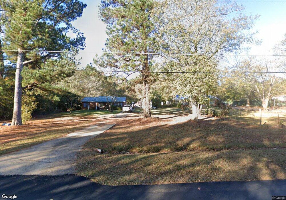
192 Reed Rd West Point, GA 31833
Estimated Value: $201,006 - $285,000
4
Beds
2
Baths
2,024
Sq Ft
$113/Sq Ft
Est. Value
About This Home
This home is located at 192 Reed Rd, West Point, GA 31833 and is currently estimated at $228,502, approximately $112 per square foot. 192 Reed Rd is a home located in Troup County with nearby schools including West Point Elementary School, Long Cane Elementary School, and Berta Weathersbee Elementary School.
Ownership History
Date
Name
Owned For
Owner Type
Purchase Details
Closed on
Jul 21, 1993
Sold by
Cynthia D Tippy
Bought by
Pike Gary W and Pike Sheila P
Current Estimated Value
Purchase Details
Closed on
Jun 1, 1987
Sold by
Dan-Ric Inc
Bought by
Cynthia D Tippy
Purchase Details
Closed on
Oct 1, 1986
Sold by
Miller Hal C and Miller Henry D
Bought by
Dan-Ric Inc
Purchase Details
Closed on
Jan 1, 1986
Bought by
Miller Hal C and Miller Henry D
Create a Home Valuation Report for This Property
The Home Valuation Report is an in-depth analysis detailing your home's value as well as a comparison with similar homes in the area
Home Values in the Area
Average Home Value in this Area
Purchase History
| Date | Buyer | Sale Price | Title Company |
|---|---|---|---|
| Pike Gary W | $48,500 | -- | |
| Cynthia D Tippy | $39,000 | -- | |
| Dan-Ric Inc | $25,000 | -- | |
| Miller Hal C | -- | -- |
Source: Public Records
Tax History
| Year | Tax Paid | Tax Assessment Tax Assessment Total Assessment is a certain percentage of the fair market value that is determined by local assessors to be the total taxable value of land and additions on the property. | Land | Improvement |
|---|---|---|---|---|
| 2025 | $1,864 | $73,080 | $5,000 | $68,080 |
| 2024 | $1,728 | $65,360 | $5,000 | $60,360 |
| 2023 | $1,577 | $59,800 | $5,000 | $54,800 |
| 2022 | $1,452 | $54,000 | $5,000 | $49,000 |
| 2021 | $1,354 | $46,880 | $4,240 | $42,640 |
| 2020 | $1,354 | $46,880 | $4,240 | $42,640 |
| 2019 | $1,207 | $42,000 | $4,000 | $38,000 |
| 2018 | $1,102 | $38,520 | $4,000 | $34,520 |
| 2017 | $1,102 | $38,520 | $4,000 | $34,520 |
| 2016 | $1,103 | $38,554 | $4,000 | $34,554 |
| 2015 | $1,098 | $38,313 | $4,000 | $34,313 |
| 2014 | $1,045 | $36,507 | $4,000 | $32,507 |
| 2013 | -- | $37,573 | $4,000 | $33,573 |
Source: Public Records
Map
Nearby Homes
- 0 Samples Rd Unit 10705121
- 0 Ga Highway 0116 Unit 10619139
- 0 Sandtown Rd Unit 10255987
- 90 Hickory Ln
- Sandtown Road Unit: 1 2+ - Acre
- 1903 Ridgewood Dr
- 508 Pine St
- 1800 Malco Dr
- 797 Gabbettville Rd
- 423 Gabbettville Rd
- 1111 County Road 212
- 182 Lower Lovelace Rd
- 1114 Clara Dr E
- 1111 Clara Dr E
- 5714 W Point Rd
- 0 Sunset Dr Unit 10451831
- 4517 Georgia 18
- 4509 Georgia 18
- 4523 Georgia 18
- 4527 Georgia 18
Your Personal Tour Guide
Ask me questions while you tour the home.