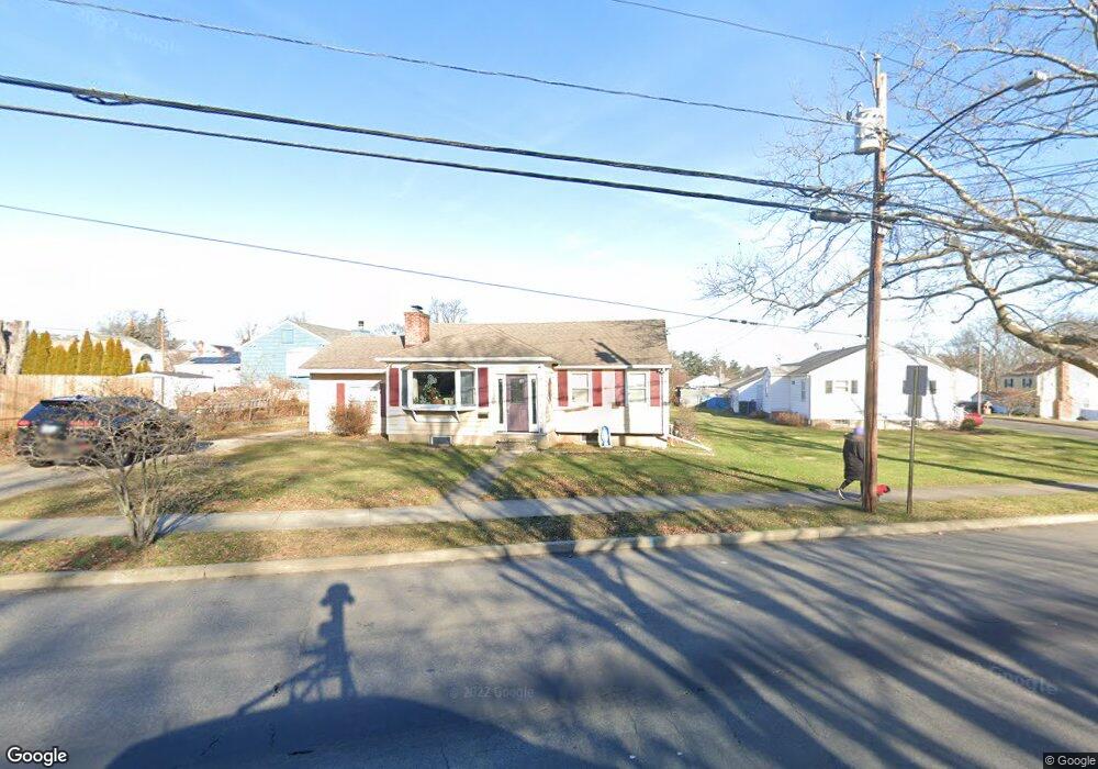
1920 Madison Ave Bridgeport, CT 06606
North End NeighborhoodEstimated Value: $360,000 - $423,000
2
Beds
2
Baths
1,284
Sq Ft
$312/Sq Ft
Est. Value
About This Home
This home is located at 1920 Madison Ave, Bridgeport, CT 06606 and is currently estimated at $400,322, approximately $311 per square foot. 1920 Madison Ave is a home located in Fairfield County with nearby schools including Blackham School, Central High School, and Assumption Catholic School.
Ownership History
Date
Name
Owned For
Owner Type
Purchase Details
Closed on
Oct 30, 2000
Sold by
Rivera Carole L
Bought by
Mobilio Vincent and Mobilio Adelaida
Current Estimated Value
Home Financials for this Owner
Home Financials are based on the most recent Mortgage that was taken out on this home.
Original Mortgage
$111,600
Interest Rate
7.83%
Purchase Details
Closed on
Jun 18, 1990
Sold by
Scheraga Hilde
Bought by
Rivera Angel
Create a Home Valuation Report for This Property
The Home Valuation Report is an in-depth analysis detailing your home's value as well as a comparison with similar homes in the area
Home Values in the Area
Average Home Value in this Area
Purchase History
| Date | Buyer | Sale Price | Title Company |
|---|---|---|---|
| Mobilio Vincent | $124,000 | -- | |
| Mobilio Vincent | $124,000 | -- | |
| Rivera Angel | $130,000 | -- |
Source: Public Records
Mortgage History
| Date | Status | Borrower | Loan Amount |
|---|---|---|---|
| Open | Rivera Angel | $70,000 | |
| Open | Rivera Angel | $168,000 | |
| Closed | Rivera Angel | $111,600 |
Source: Public Records
Tax History
| Year | Tax Paid | Tax Assessment Tax Assessment Total Assessment is a certain percentage of the fair market value that is determined by local assessors to be the total taxable value of land and additions on the property. | Land | Improvement |
|---|---|---|---|---|
| 2025 | $6,995 | $160,997 | $71,837 | $89,160 |
| 2024 | $6,995 | $160,997 | $71,837 | $89,160 |
| 2023 | $6,995 | $160,997 | $71,837 | $89,160 |
| 2022 | $6,995 | $160,997 | $71,837 | $89,160 |
| 2021 | $6,995 | $160,997 | $71,837 | $89,160 |
| 2020 | $6,217 | $115,160 | $41,260 | $73,900 |
| 2019 | $6,217 | $115,160 | $41,260 | $73,900 |
| 2018 | $6,261 | $115,160 | $41,260 | $73,900 |
| 2017 | $6,261 | $115,160 | $41,260 | $73,900 |
| 2016 | $6,261 | $115,160 | $41,260 | $73,900 |
| 2015 | $5,880 | $139,330 | $47,690 | $91,640 |
| 2014 | $5,880 | $139,330 | $47,690 | $91,640 |
Source: Public Records
Map
Nearby Homes
- 604 Birmingham St
- 56 Peet St
- 525 Westfield Ave
- 932 Thorme St
- 646 Merritt St
- 669 Queen St
- 855 Burnsford Ave
- 26 Marsdale Ave
- 405 Westfield Ave
- 900 Merritt St
- 375 Ruth St
- 27 Plateau Ave
- 631 Fairview Ave
- 520 Goldenrod Ave
- 255 Ruth St
- 533 Wayne St
- 90 Toilsome Hill Rd
- 593 Wayne St
- 228 Westfield Ave
- 184 Rosemere Ave
- 332 Bretton St
- 55 Baker St
- 25 Dewhirst St
- 1934 Madison Ave
- 316 Bretton St
- 0 Madison Ave Unit 98372621
- 0 Madison Ave Unit 24050136
- 35 Dewhirst St
- 1909 Madison Ave
- 1919 Madison Ave
- 1907 Madison Ave
- 60 Baker St
- 70 Baker St
- 1956 Madison Ave
- 1956 Madison Ave Unit 2
- 50 Baker St
- 1883 Madison Ave
- 319 Bretton St
- 48 Baker St
- 1929 Madison Ave
Your Personal Tour Guide
Ask me questions while you tour the home.