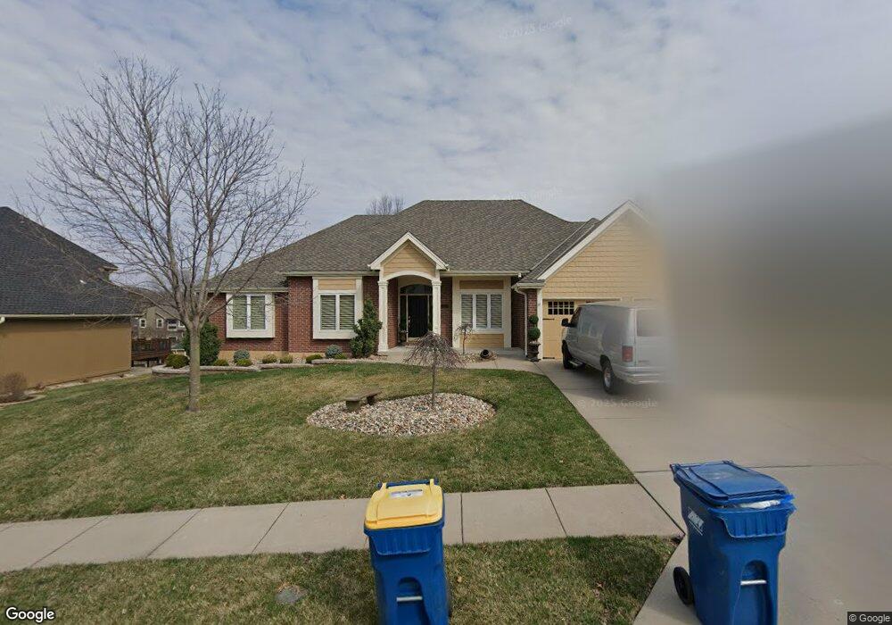
1920 Marvel Ln Liberty, MO 64068
Estimated Value: $380,000 - $465,000
About This Home
This home is located at 1920 Marvel Ln, Liberty, MO 64068 and is currently estimated at $436,780, approximately $208 per square foot. 1920 Marvel Ln is a home located in Clay County with nearby schools including Alexander Doniphan Elementary School, Discovery Middle School, and Liberty High School.
Ownership History
We collect this data history from publicly available records. To have your information removed, we recommend requesting removal directly through your county’s website.
Purchase Details
Purchase Details
Home Financials for this Owner
Home Financials are based on the most recent Mortgage that was taken out on this home.Home Values in the Area
Average Home Value in this Area
Purchase History
We collect this data history from publicly available records. To have your information removed, we recommend requesting removal directly through your county’s website.
| Date | Buyer | Sale Price | Title Company |
|---|---|---|---|
| -- | Kansas City Title Inc | ||
| -- | None Available |
Mortgage History
We collect this data history from publicly available records. To have your information removed, we recommend requesting removal directly through your county’s website.
| Date | Status | Borrower | Loan Amount |
|---|---|---|---|
| Previous Owner | $115,000 |
Tax History
We collect this data history from publicly available records. To have your information removed, we recommend requesting removal directly through your county’s website.
| Year | Tax Paid | Tax Assessment Tax Assessment Total Assessment is a certain percentage of the fair market value that is determined by local assessors to be the total taxable value of land and additions on the property. | Land | Improvement |
|---|---|---|---|---|
| 2025 | -- | $76,210 | -- | -- |
| 2024 | $5,195 | $67,550 | -- | -- |
| 2023 | $5,283 | $67,550 | $0 | $0 |
| 2022 | $4,415 | $55,730 | $0 | $0 |
| 2021 | $4,380 | $55,727 | $7,600 | $48,127 |
| 2020 | $4,366 | $52,160 | $0 | $0 |
| 2019 | $4,365 | $52,160 | $0 | $0 |
| 2018 | $0 | $47,140 | $0 | $0 |
| 2017 | $3,430 | $47,140 | $5,700 | $41,440 |
| 2016 | $3,430 | $40,620 | $5,700 | $34,920 |
| 2015 | $3,431 | $40,620 | $5,700 | $34,920 |
| 2014 | $3,321 | $39,010 | $5,320 | $33,690 |
Map
- 441 Wilshire Blvd
- 1310 Amesbury Ave
- 1500 Amesbury Ave
- 1605 High Dr
- 1617 Welleslay Ln
- 512 Brentwood Dr
- 1913 CeMcO Dr
- 1524 Oxford Ct
- 1561 Parkside Dr
- 1327 Huntington Dr
- 1509 Wynbrick Dr
- 1437 Coventry Ln
- Lot 2 Bent Oaks Dr
- 1830 Parkside Dr
- 253 S Stewart Rd
- 1308 Middlebrook Dr
- Lot 2A Oak Crest Dr
- 1116 Owen Dr
- 809 Lindenwood Ln
- 2133 Winding Woods Dr
- 1930 Marvel Ln
- 1924 Marvel Ln
- 1934 Marvel Ln
- 1311 Old Trail Rd
- 1307 Old Trail Rd
- 1921 High Dr
- 1925 High Dr
- 1929 Marvel Ln
- 1925 Marvel Ln
- 1917 High Dr
- 1933 Marvel Ln
- 1916 Marvel Ln
- 1921 Marvel Ln
- 1937 Marvel Ln
- 1913 High Dr
- 1917 Marvel Ln
- 1314 Old Trail Rd
- 1310 Old Trail Rd
- 1306 Old Trail Rd
- 1912 Marvel Ln
Ask me questions while you tour the home.