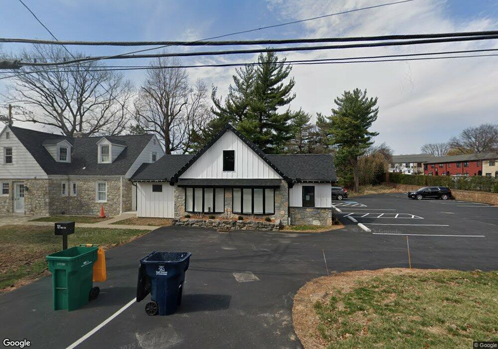
1920 Van Reed Rd Reading, PA 19610
Whitfield NeighborhoodEstimated Value: $914,000 - $1,028,000
Studio
--
Bath
8,370
Sq Ft
$116/Sq Ft
Est. Value
About This Home
This home is located at 1920 Van Reed Rd, Reading, PA 19610 and is currently estimated at $972,512, approximately $116 per square foot. 1920 Van Reed Rd is a home located in Berks County with nearby schools including Spring Ridge Elementary School, Wilson West Middle School, and Wilson High School.
Ownership History
Date
Name
Owned For
Owner Type
Purchase Details
Closed on
Dec 21, 2022
Sold by
Forry Robert A and Forry Judith L
Bought by
Big Island Enterprises Llc
Current Estimated Value
Home Financials for this Owner
Home Financials are based on the most recent Mortgage that was taken out on this home.
Original Mortgage
$660,000
Outstanding Balance
$638,053
Interest Rate
7.08%
Mortgage Type
New Conventional
Estimated Equity
$334,459
Purchase Details
Closed on
Feb 5, 1979
Bought by
Forry Robert A and Forry Judith L
Create a Home Valuation Report for This Property
The Home Valuation Report is an in-depth analysis detailing your home's value as well as a comparison with similar homes in the area
Home Values in the Area
Average Home Value in this Area
Purchase History
| Date | Buyer | Sale Price | Title Company |
|---|---|---|---|
| Big Island Enterprises Llc | $825,000 | -- | |
| Forry Robert A | -- | -- |
Source: Public Records
Mortgage History
| Date | Status | Borrower | Loan Amount |
|---|---|---|---|
| Open | Big Island Enterprises Llc | $660,000 |
Source: Public Records
Tax History
| Year | Tax Paid | Tax Assessment Tax Assessment Total Assessment is a certain percentage of the fair market value that is determined by local assessors to be the total taxable value of land and additions on the property. | Land | Improvement |
|---|---|---|---|---|
| 2025 | $5,314 | $342,300 | $189,900 | $152,400 |
| 2024 | $14,645 | $342,300 | $189,900 | $152,400 |
| 2023 | $13,955 | $342,300 | $189,900 | $152,400 |
| 2022 | $13,612 | $342,300 | $189,900 | $152,400 |
| 2021 | $13,133 | $342,300 | $189,900 | $152,400 |
| 2020 | $13,133 | $342,300 | $189,900 | $152,400 |
| 2019 | $12,760 | $342,300 | $189,900 | $152,400 |
| 2018 | $12,650 | $342,300 | $189,900 | $152,400 |
| 2017 | $12,436 | $342,300 | $189,900 | $152,400 |
| 2016 | $3,623 | $342,300 | $189,900 | $152,400 |
| 2015 | $3,623 | $342,300 | $189,900 | $152,400 |
| 2014 | $3,623 | $342,300 | $189,900 | $152,400 |
Source: Public Records
Map
Nearby Homes
- 138 Laurel Ct Unit 138A
- 118 Laurel Ct Unit 118B
- 12 Kevin Ct
- 162 Hawthorne Ct
- 409 Westbury Dr
- 105 Hawthorne Ct
- 314 Charleston Ln
- 28 Cheltenham Dr
- 424 Oak Hill Ln
- 2707 Craig Ave
- 37 Dorchester Dr
- 2405 Garden Ln
- 101 Robert Rd
- 7 Woods Way
- 112 Grandview Blvd
- 450 Warwick Dr
- 204 Wilshire Blvd
- 2133 Fairview St
- 3029 Merritt Pkwy Unit PY
- 1624 Concord Rd
- 3105 State Hill Rd
- Lot # 2 State Hill Rd
- 3107 State Hill Rd
- 143 Laurel Ct
- 144 Laurel Ct
- 136 Laurel Ct
- 3109 State Hill Rd
- 145 Laurel Ct Unit 145A
- 135 Laurel Ct Unit 135A
- 146 Laurel Ct Unit 146A
- 134 Laurel Ct
- 147 Laurel Ct
- 133 Laurel Ct
- 148 Laurel Ct
- 131 Laurel Ct Unit 131B
- 149 Laurel Ct
- 151 Laurel Ct
- 3111 State Hill Rd
- 152 Laurel Ct
- 142 Laurel Ct Unit 142B
Your Personal Tour Guide
Ask me questions while you tour the home.