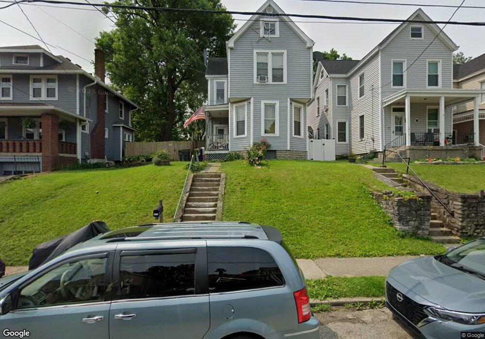
1921 Elm Ave Cincinnati, OH 45212
Estimated Value: $177,000 - $213,000
About This Home
This home is located at 1921 Elm Ave, Cincinnati, OH 45212 and is currently estimated at $200,173, approximately $98 per square foot. 1921 Elm Ave is a home located in Hamilton County with nearby schools including Norwood High School, Cornerstone Christian Academy, and Immaculate Conception Academy.
Ownership History
We collect this data history from publicly available records. To have your information removed, we recommend requesting removal directly through your county’s website.
Purchase Details
Purchase Details
Purchase Details
Purchase Details
Home Financials for this Owner
Home Financials are based on the most recent Mortgage that was taken out on this home.Home Values in the Area
Average Home Value in this Area
Purchase History
We collect this data history from publicly available records. To have your information removed, we recommend requesting removal directly through your county’s website.
| Date | Buyer | Sale Price | Title Company |
|---|---|---|---|
| $163,550 | None Listed On Document | ||
| $76,400 | -- | ||
| $55,000 | -- | ||
| -- | -- |
Mortgage History
We collect this data history from publicly available records. To have your information removed, we recommend requesting removal directly through your county’s website.
| Date | Status | Borrower | Loan Amount |
|---|---|---|---|
| Previous Owner | $49,693 |
Tax History
We collect this data history from publicly available records. To have your information removed, we recommend requesting removal directly through your county’s website.
| Year | Tax Paid | Tax Assessment Tax Assessment Total Assessment is a certain percentage of the fair market value that is determined by local assessors to be the total taxable value of land and additions on the property. | Land | Improvement |
|---|---|---|---|---|
| 2025 | $3,046 | $57,243 | $11,130 | $46,113 |
| 2024 | $3,047 | $57,243 | $11,130 | $46,113 |
| 2023 | $3,064 | $57,243 | $11,130 | $46,113 |
| 2022 | $2,438 | $38,378 | $7,473 | $30,905 |
| 2021 | $2,421 | $38,378 | $7,473 | $30,905 |
| 2020 | $2,368 | $38,378 | $7,473 | $30,905 |
| 2019 | $2,255 | $33,667 | $6,556 | $27,111 |
| 2018 | $2,257 | $33,667 | $6,556 | $27,111 |
| 2017 | $2,157 | $33,667 | $6,556 | $27,111 |
| 2016 | $2,218 | $33,044 | $6,164 | $26,880 |
| 2015 | $1,961 | $33,044 | $6,164 | $26,880 |
| 2014 | $1,952 | $33,044 | $6,164 | $26,880 |
| 2013 | $2,054 | $35,151 | $6,556 | $28,595 |
Map
- 1918 Elm Ave
- 1904 Tilden Ave
- 1915 Maple Ave
- 1827 Tilden Ave
- 1825 Elm Ave
- 1955 Elm Ave
- 4730 Woodlawn Ave
- 1952 Maple Ave
- 1817 Sherman Ave
- 1954 Maple Ave
- 1819 Maple Ave
- 2005 Crown Ave
- 2030 Elm Ave
- 2033 Maple Ave
- 4422 Franklin Ave
- 1705 West St
- 1829 Lincoln Ave
- 2072 Elm Ave
- 4314 Ivanhoe Ave
- 1835 Weyer Ave
Ask me questions while you tour the home.