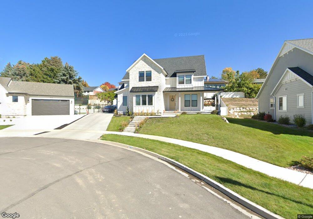
1921 S 50 W Orem, UT 84058
Lakeview NeighborhoodEstimated Value: $1,068,000 - $1,164,000
About This Home
This home is located at 1921 S 50 W, Orem, UT 84058 and is currently estimated at $1,127,258, approximately $222 per square foot. 1921 S 50 W is a home located in Utah County with nearby schools including Cherry Hill Elementary School, Lakeridge Jr High School, and Mountain View High School.
Ownership History
We collect this data history from publicly available records. To have your information removed, we recommend requesting removal directly through your county’s website.
Purchase Details
Home Financials for this Owner
Home Financials are based on the most recent Mortgage that was taken out on this home.Purchase Details
Home Financials for this Owner
Home Financials are based on the most recent Mortgage that was taken out on this home.Purchase Details
Home Financials for this Owner
Home Financials are based on the most recent Mortgage that was taken out on this home.Purchase Details
Purchase Details
Purchase Details
Home Financials for this Owner
Home Financials are based on the most recent Mortgage that was taken out on this home.Home Values in the Area
Average Home Value in this Area
Purchase History
We collect this data history from publicly available records. To have your information removed, we recommend requesting removal directly through your county’s website.
| Date | Buyer | Sale Price | Title Company |
|---|---|---|---|
| -- | Prospect Title Insurance | ||
| -- | Greenbrier Title Ins Acy Inc | ||
| -- | Bartlett Title Insurance Age | ||
| -- | Bartlett Title Insurance Age | ||
| $890,000 | None Available | ||
| -- | Utah First Title Insurance |
Mortgage History
We collect this data history from publicly available records. To have your information removed, we recommend requesting removal directly through your county’s website.
| Date | Status | Borrower | Loan Amount |
|---|---|---|---|
| Open | $548,250 | ||
| Previous Owner | $93,191 | ||
| Previous Owner | $47,343 | ||
| Previous Owner | $318,000 |
Tax History
We collect this data history from publicly available records. To have your information removed, we recommend requesting removal directly through your county’s website.
| Year | Tax Paid | Tax Assessment Tax Assessment Total Assessment is a certain percentage of the fair market value that is determined by local assessors to be the total taxable value of land and additions on the property. | Land | Improvement |
|---|---|---|---|---|
| 2025 | $4,065 | $540,980 | -- | -- |
| 2024 | $4,065 | $497,090 | $0 | $0 |
| 2023 | $3,783 | $497,145 | $0 | $0 |
| 2022 | $3,570 | $454,575 | $0 | $0 |
| 2021 | $1,878 | $199,200 | $199,200 | $0 |
| 2020 | $1,662 | $173,200 | $173,200 | $0 |
| 2019 | $1,598 | $173,200 | $173,200 | $0 |
| 2018 | $1,672 | $173,200 | $173,200 | $0 |
| 2017 | $1,717 | $173,200 | $0 | $0 |
| 2016 | $1,862 | $173,200 | $0 | $0 |
| 2015 | $1,969 | $173,200 | $0 | $0 |
| 2014 | $1,515 | $132,700 | $0 | $0 |
Map
- 188 W 2000 S
- 165 W 2040 S
- 2068 S 140 W
- 1758 S 50 E
- 281 W 2000 S
- 2152 S 30 W
- 172 E 1864 S
- 2013 S 330 W
- 1675 S Lakewood Dr
- 1652 Lakewood Dr
- 2043 S 160 E
- 1679 N 2250 W Unit 1
- 1682 N 2250 W Unit 9
- 302 W 1700 S
- 168 E 2100 S
- 164 E 1780 S Unit 10
- 1762 N 1950 W
- 302 W Hidden Hollow Dr
- 1616 N 2100 W
- 153 W Hidden Hollow Cir
- 1921 S 50 W Unit 10
- 1917 S 50 W
- 1917 S 50 W Unit 9
- 1927 S 50 W Unit 11
- 69 Westview Dr
- 71 Westview Dr
- 1933 S 50 W Unit 12
- 1933 S 50 W
- 57 Westview Dr
- 1924 S 50 W Unit 6
- 81 Westview Dr
- 1920 S 50 W Unit 7
- 1920 S 50 W
- 109 Westview Cir
- 1916 S 50 W Unit 8
- 1916 S 50 W
- 1947 S 50 W Unit 13
- 1947 S 50 W
- 47 Westview Dr
- 1930 S 50 W Unit 5
Ask me questions while you tour the home.