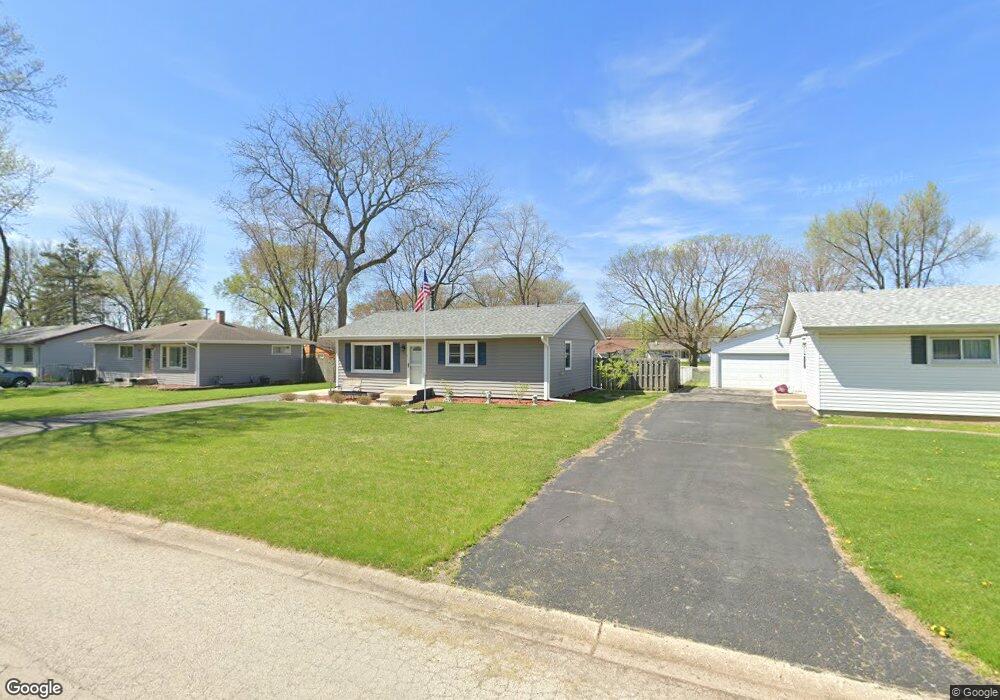
1921 Stephen Dr Montgomery, IL 60538
Estimated Value: $253,000 - $270,315
3
Beds
1
Bath
936
Sq Ft
$280/Sq Ft
Est. Value
About This Home
This home is located at 1921 Stephen Dr, Montgomery, IL 60538 and is currently estimated at $261,829, approximately $279 per square foot. 1921 Stephen Dr is a home located in Kane County with nearby schools including Nicholson Elementary School, Washington Middle School, and West Aurora High School.
Ownership History
Date
Name
Owned For
Owner Type
Purchase Details
Closed on
Jul 31, 2006
Sold by
Norton Frances F
Bought by
Snodgrass Randy J and Snodgrass Terry
Current Estimated Value
Home Financials for this Owner
Home Financials are based on the most recent Mortgage that was taken out on this home.
Original Mortgage
$150,400
Outstanding Balance
$100,418
Interest Rate
8.93%
Mortgage Type
Purchase Money Mortgage
Estimated Equity
$161,411
Create a Home Valuation Report for This Property
The Home Valuation Report is an in-depth analysis detailing your home's value as well as a comparison with similar homes in the area
Home Values in the Area
Average Home Value in this Area
Purchase History
| Date | Buyer | Sale Price | Title Company |
|---|---|---|---|
| Snodgrass Randy J | $188,000 | Chicago Title Insurance Co |
Source: Public Records
Mortgage History
| Date | Status | Borrower | Loan Amount |
|---|---|---|---|
| Open | Snodgrass Randy J | $150,400 |
Source: Public Records
Tax History
| Year | Tax Paid | Tax Assessment Tax Assessment Total Assessment is a certain percentage of the fair market value that is determined by local assessors to be the total taxable value of land and additions on the property. | Land | Improvement |
|---|---|---|---|---|
| 2024 | $3,289 | $65,775 | $13,260 | $52,515 |
| 2023 | $4,461 | $62,417 | $11,848 | $50,569 |
| 2022 | $4,202 | $56,950 | $10,810 | $46,140 |
| 2021 | $4,031 | $53,021 | $10,064 | $42,957 |
| 2020 | $3,840 | $49,249 | $9,348 | $39,901 |
| 2019 | $3,737 | $45,630 | $8,661 | $36,969 |
| 2018 | $3,551 | $42,114 | $8,011 | $34,103 |
| 2017 | $3,456 | $39,727 | $7,381 | $32,346 |
| 2016 | $3,188 | $35,346 | $6,327 | $29,019 |
| 2015 | -- | $31,588 | $5,441 | $26,147 |
| 2014 | -- | $29,412 | $5,233 | $24,179 |
| 2013 | -- | $28,993 | $5,158 | $23,835 |
Source: Public Records
Map
Nearby Homes
- 19 Pasadena Dr
- 2082 Kathleen Cir Unit 5
- 2420 Roxbury Ln
- 2031 Matthew Dr Unit 1
- 1 Highway 30
- 2468 Roxbury Ln
- 2645 Caliendo Cir Unit 1
- 2409 Geneva Ln Unit 3
- 319 Grape Vine Trail
- 2021 Radcliffe Dr
- 2091 Jericho Rd
- 521 S Railroad St
- 906 Lindenwood Dr
- 2418 Montclair Ln Unit 7
- 423 S Main St
- 2956 Aberdeen Dr
- 5.43 B-3 Commercial State Route 31
- 1989 Waverly Way Unit 5
- 1709 Wick Way
- 6 E Anchor Dr
- 1923 Stephen Dr
- 1917 Stephen Dr
- 1922 Bradley Dr Unit 1
- 1927 Stephen Dr
- 1913 Stephen Dr
- 1918 Bradley Dr
- 1924 Bradley Dr
- 1914 Bradley Dr
- 1922 Stephen Dr Unit 2
- 1918 Stephen Dr
- 1928 Bradley Dr
- 1909 Stephen Dr
- 1924 Stephen Dr
- 1914 Stephen Dr
- 1910 Bradley Dr Unit 1
- 1928 Stephen Dr Unit 2
- 1932 Bradley Dr
- 1905 Stephen Dr Unit 1
- 1910 Stephen Dr
- 1935 Stephen Dr
Your Personal Tour Guide
Ask me questions while you tour the home.