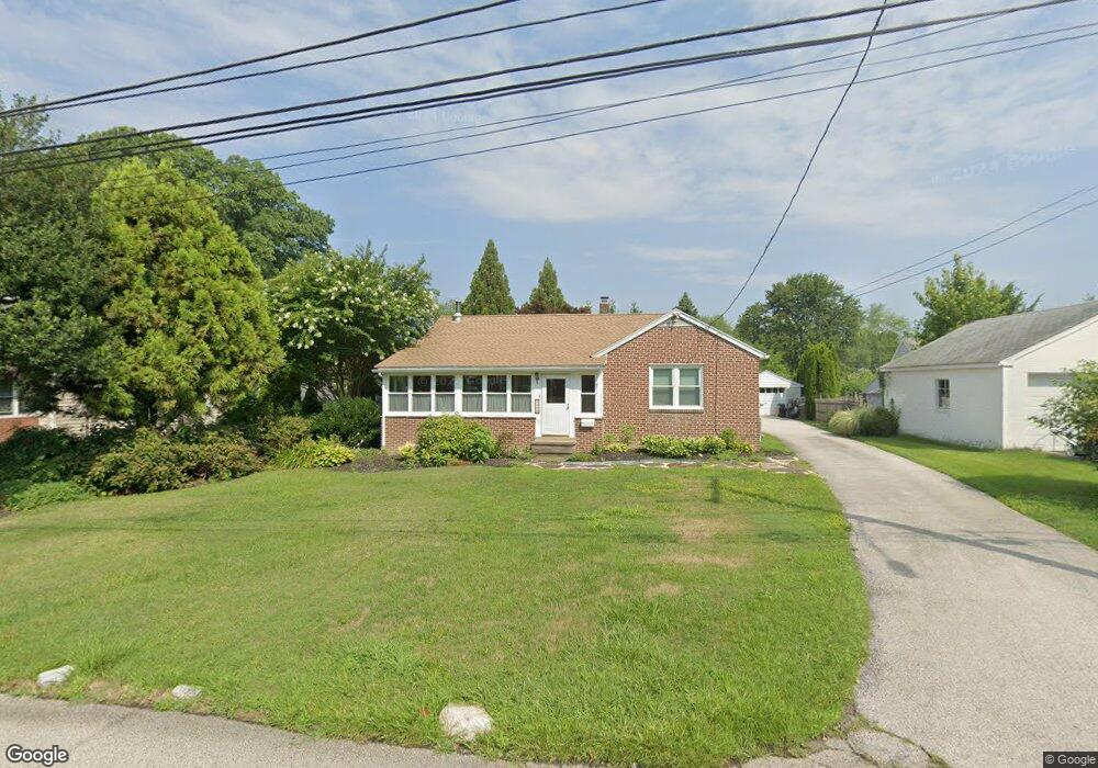
1925 Pershing Ave Morton, PA 19070
Estimated Value: $380,738 - $463,000
3
Beds
1
Bath
1,694
Sq Ft
$249/Sq Ft
Est. Value
About This Home
This home is located at 1925 Pershing Ave, Morton, PA 19070 and is currently estimated at $421,185, approximately $248 per square foot. 1925 Pershing Ave is a home located in Delaware County with nearby schools including Amosland El School, Ridley Middle School, and Ridley High School.
Ownership History
Date
Name
Owned For
Owner Type
Purchase Details
Closed on
Feb 26, 2007
Sold by
Bender Glenn S and White Debra A
Bought by
Bender Glenn S
Current Estimated Value
Home Financials for this Owner
Home Financials are based on the most recent Mortgage that was taken out on this home.
Original Mortgage
$162,587
Outstanding Balance
$99,164
Interest Rate
6.4%
Mortgage Type
Purchase Money Mortgage
Estimated Equity
$322,021
Purchase Details
Closed on
Mar 15, 2004
Sold by
Parkhurst Sophia
Bought by
Bender Glenn S and White Debra A
Home Financials for this Owner
Home Financials are based on the most recent Mortgage that was taken out on this home.
Original Mortgage
$172,000
Interest Rate
5.71%
Mortgage Type
Purchase Money Mortgage
Create a Home Valuation Report for This Property
The Home Valuation Report is an in-depth analysis detailing your home's value as well as a comparison with similar homes in the area
Home Values in the Area
Average Home Value in this Area
Purchase History
| Date | Buyer | Sale Price | Title Company |
|---|---|---|---|
| Bender Glenn S | $93,721 | None Available | |
| Bender Glenn S | $215,000 | Lawyers Title Ins |
Source: Public Records
Mortgage History
| Date | Status | Borrower | Loan Amount |
|---|---|---|---|
| Open | Bender Glenn S | $162,587 | |
| Closed | Bender Glenn S | $172,000 |
Source: Public Records
Tax History
| Year | Tax Paid | Tax Assessment Tax Assessment Total Assessment is a certain percentage of the fair market value that is determined by local assessors to be the total taxable value of land and additions on the property. | Land | Improvement |
|---|---|---|---|---|
| 2025 | $7,175 | $206,650 | $69,100 | $137,550 |
| 2024 | $7,175 | $206,650 | $69,100 | $137,550 |
| 2023 | $6,863 | $206,650 | $69,100 | $137,550 |
| 2022 | $6,643 | $206,650 | $69,100 | $137,550 |
| 2021 | $10,283 | $206,650 | $69,100 | $137,550 |
| 2020 | $6,831 | $120,930 | $41,450 | $79,480 |
| 2019 | $6,706 | $120,930 | $41,450 | $79,480 |
| 2018 | $6,623 | $120,930 | $0 | $0 |
| 2017 | $6,623 | $120,930 | $0 | $0 |
| 2016 | $664 | $120,930 | $0 | $0 |
| 2015 | $677 | $120,930 | $0 | $0 |
| 2014 | $664 | $120,930 | $0 | $0 |
Source: Public Records
Map
Nearby Homes
- 1907 Pershing Ave
- 21 Faraday Ct
- 1015 Mitchell Ave
- 216-218 President Ave
- 2 Yale Ave
- 7 & 0 Woodland Ave
- 201 W Sylvan Ave
- 120 Rutledge Ave
- 846 Bobwhite Ln
- 1323 Morton Ave
- 522 Amosland Rd
- 743 Hickory Rd
- 429 Sutton Ave
- 715 Swarthmore Ave
- 1712 Orchard Ave
- 507 School St
- 880 Quaint St
- 1828 5th Ave
- 838 Springhill Rd
- 2704 Quaint St
- 1919 Pershing Ave
- 837 Amosland Rd
- 1935 Pershing Ave
- 847 Amosland Rd
- 1913 Pershing Ave
- 845 Amosland Rd
- 1926 Haig Ave
- 1922 Haig Ave
- 1932 Haig Ave
- 825 Amosland Rd
- 849 Amosland Rd
- 1922 Pershing Ave
- 1912 Haig Ave
- 1916 Pershing Ave
- 855 Amosland Rd
- 815 Amosland Rd
- 1914 Pershing Ave
- 832 Amosland Rd
- 1906 Pershing Ave
- 834 Amosland Rd
Your Personal Tour Guide
Ask me questions while you tour the home.