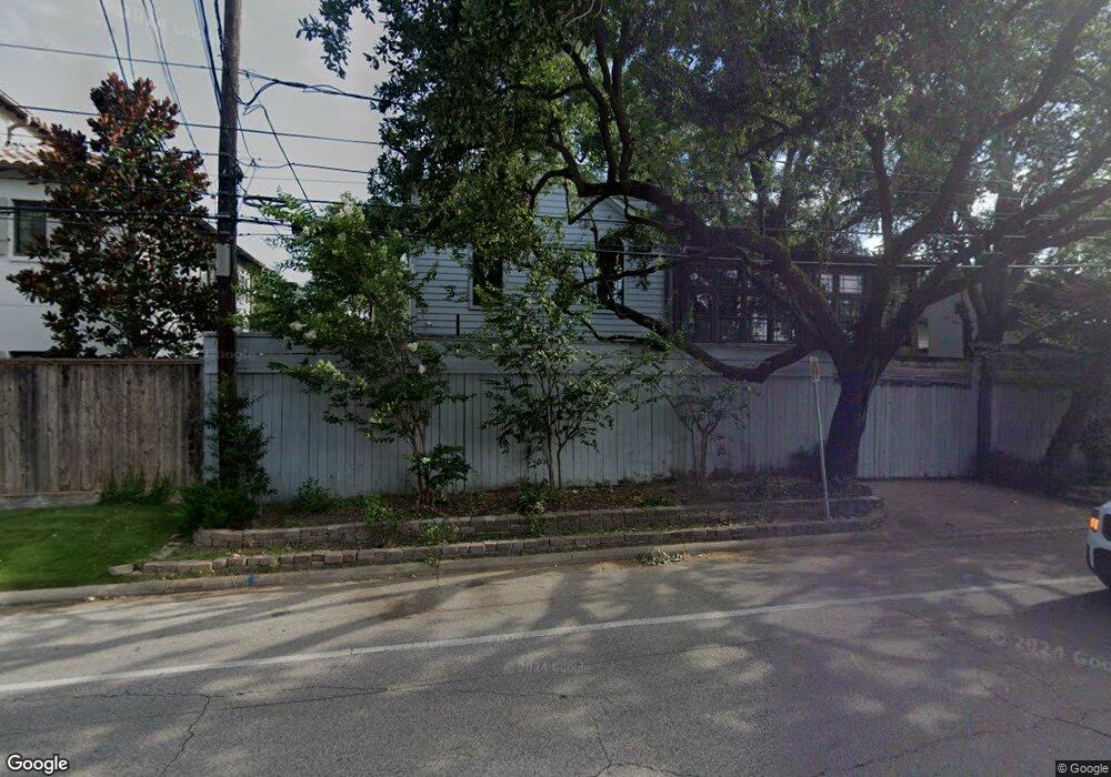
1925 Sharp Place Houston, TX 77019
River Oaks NeighborhoodEstimated Value: $1,332,848 - $2,315,000
5
Beds
5
Baths
3,319
Sq Ft
$503/Sq Ft
Est. Value
About This Home
This home is located at 1925 Sharp Place, Houston, TX 77019 and is currently estimated at $1,669,712, approximately $503 per square foot. 1925 Sharp Place is a home located in Harris County with nearby schools including River Oaks Elementary School, Lanier Middle School, and Lamar High School.
Ownership History
Date
Name
Owned For
Owner Type
Purchase Details
Closed on
Jul 5, 2005
Sold by
Young Vernon R and Young Elizabeth
Bought by
Delvecchio Peter A and Del Vecchio Nair A
Current Estimated Value
Home Financials for this Owner
Home Financials are based on the most recent Mortgage that was taken out on this home.
Original Mortgage
$488,000
Outstanding Balance
$254,413
Interest Rate
5.64%
Mortgage Type
Fannie Mae Freddie Mac
Estimated Equity
$1,415,299
Create a Home Valuation Report for This Property
The Home Valuation Report is an in-depth analysis detailing your home's value as well as a comparison with similar homes in the area
Home Values in the Area
Average Home Value in this Area
Purchase History
| Date | Buyer | Sale Price | Title Company |
|---|---|---|---|
| Delvecchio Peter A | -- | Chicago Title Insurance Co |
Source: Public Records
Mortgage History
| Date | Status | Borrower | Loan Amount |
|---|---|---|---|
| Open | Delvecchio Peter A | $488,000 |
Source: Public Records
Tax History
| Year | Tax Paid | Tax Assessment Tax Assessment Total Assessment is a certain percentage of the fair market value that is determined by local assessors to be the total taxable value of land and additions on the property. | Land | Improvement |
|---|---|---|---|---|
| 2025 | $16,030 | $1,540,505 | $890,076 | $650,429 |
| 2024 | $16,030 | $1,442,326 | $836,132 | $606,194 |
| 2023 | $16,030 | $1,247,177 | $809,160 | $438,017 |
| 2022 | $24,698 | $1,121,675 | $782,188 | $339,487 |
| 2021 | $27,968 | $1,200,000 | $728,244 | $471,756 |
| 2020 | $27,106 | $1,119,345 | $728,244 | $391,101 |
| 2019 | $28,255 | $1,116,620 | $728,244 | $388,376 |
| 2018 | $19,368 | $1,106,000 | $701,272 | $404,728 |
| 2017 | $24,434 | $1,025,520 | $701,272 | $324,248 |
| 2016 | $22,212 | $1,132,000 | $755,216 | $376,784 |
| 2015 | $14,828 | $1,015,779 | $728,244 | $287,535 |
| 2014 | $14,828 | $963,000 | $620,356 | $342,644 |
Source: Public Records
Map
Nearby Homes
- 2026 Welch St
- 2111 Welch St Unit B201
- 2111 Welch St Unit A321
- 2111 Welch St Unit A129
- 2111 Welch St Unit A113
- 2111 Welch St Unit A318
- 2111 Welch St Unit A331
- 2111 Welch St Unit A103
- 2111 Welch St Unit B-101
- 2111 Welch St Unit A232
- 1918 Brun St
- 2217 Pelham Dr
- 2001 Vermont St
- 1601 S Shepherd Dr Unit 269
- 1601 S Shepherd Dr Unit 20
- 1601 S Shepherd Dr Unit 224
- 1601 S Shepherd Dr Unit 170
- 1601 S Shepherd Dr Unit 216
- 1601 S Shepherd Dr Unit 164
- 1601 S Shepherd Dr Unit 243
- 1929 Sharp Place
- 1921 Sharp Place
- 1917 Sharp Place
- 1933 Sharp Place
- 1909 Sharp Place
- 1913 Sharp Place
- 1905 Sharp Place
- 1901 Sharp Place
- 1811 S Shepherd Dr
- 1825 Sharp Place
- 2143 Stanmore Dr
- 1809 S Shepherd Dr
- 2100 Welch St Unit C201
- 2100 Welch St Unit C309
- 2100 Welch St Unit C111
- 2100 Welch St Unit C110
- 2100 Welch St Unit C109
- 2100 Welch St
- 2100 Welch St Unit C321
- 2100 Welch St Unit C320
Your Personal Tour Guide
Ask me questions while you tour the home.