1926 Munsey Dr Forest Hill, MD 21050
Estimated Value: $572,547 - $662,000
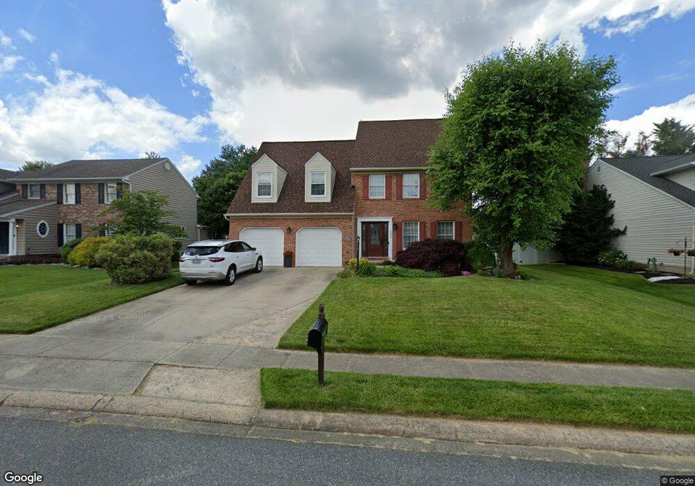
About This Home
This home is located at 1926 Munsey Dr, Forest Hill, MD 21050 and is currently estimated at $614,137, approximately $231 per square foot. 1926 Munsey Dr is a home located in Harford County with nearby schools including Forest Lakes Elementary School, Bel Air Middle School, and Bel Air High School.
Ownership History
We collect this data history from publicly available records. To have your information removed, we recommend requesting removal directly through your county’s website.
Purchase Details
Purchase Details
Home Financials for this Owner
Home Financials are based on the most recent Mortgage that was taken out on this home.Purchase Details
Purchase Details
Home Financials for this Owner
Home Financials are based on the most recent Mortgage that was taken out on this home.Home Values in the Area
Average Home Value in this Area
Purchase History
We collect this data history from publicly available records. To have your information removed, we recommend requesting removal directly through your county’s website.
| Date | Buyer | Sale Price | Title Company |
|---|---|---|---|
| -- | None Listed On Document | ||
| $172,900 | -- | ||
| $39,500 | -- | ||
| $36,000 | -- |
Mortgage History
We collect this data history from publicly available records. To have your information removed, we recommend requesting removal directly through your county’s website.
| Date | Status | Borrower | Loan Amount |
|---|---|---|---|
| Previous Owner | $138,300 | ||
| Previous Owner | $201,600 |
Tax History
We collect this data history from publicly available records. To have your information removed, we recommend requesting removal directly through your county’s website.
| Year | Tax Paid | Tax Assessment Tax Assessment Total Assessment is a certain percentage of the fair market value that is determined by local assessors to be the total taxable value of land and additions on the property. | Land | Improvement |
|---|---|---|---|---|
| 2025 | $4,731 | $451,100 | $116,100 | $335,000 |
| 2024 | $4,731 | $434,033 | $0 | $0 |
| 2023 | $4,545 | $416,967 | $0 | $0 |
| 2022 | $4,359 | $399,900 | $116,100 | $283,800 |
| 2021 | $4,539 | $396,600 | $0 | $0 |
| 2020 | $4,539 | $393,300 | $0 | $0 |
| 2019 | $4,501 | $390,000 | $119,300 | $270,700 |
| 2018 | $4,321 | $377,833 | $0 | $0 |
| 2017 | $4,182 | $390,000 | $0 | $0 |
| 2016 | -- | $353,500 | $0 | $0 |
| 2015 | $4,140 | $353,500 | $0 | $0 |
| 2014 | $4,140 | $353,500 | $0 | $0 |
Map
- 1923 Munsey Dr
- 809 Delray Dr
- 933 Delray Dr
- 922 Delray Dr
- 1991 Hill View Ct
- 111 Sunshine Ct Unit F
- 105 K Sunshine Ct Unit K
- 1714 Landmark Dr Unit 1J
- 1712 Landmark Dr Unit E
- 1721 Chrisemmett Ct Unit 3A
- 1713 Landmark Dr Unit 1L
- 1710 Landmark Dr Unit 1L
- 1715 Landmark Dr Unit 3B
- 1605 Samantha Dr
- 1702 Rich Way Unit 1C
- 1702 Rich Way Unit 3D
- 1814 Grafton Shop Rd
- 206 Kimary Ct Unit 2D
- 202 Kimary Ct Unit 1A
- 109 Spencer Cir
Ask me questions while you tour the home.