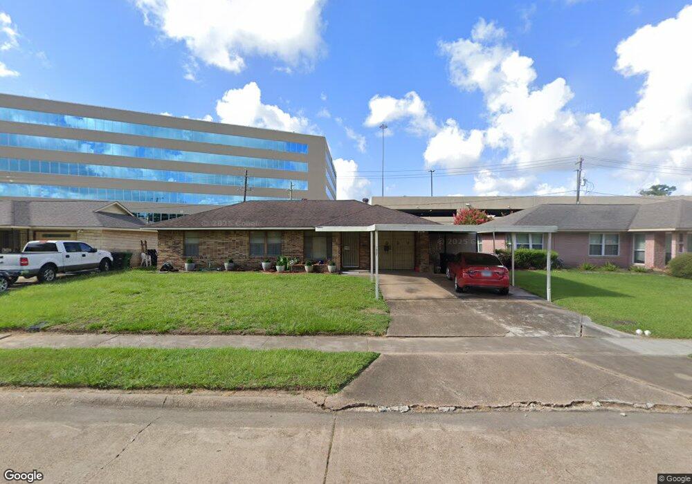
1927 Ansbury Dr Houston, TX 77018
Oak Forest-Garden Oaks NeighborhoodEstimated Value: $314,000 - $362,000
3
Beds
1
Bath
1,008
Sq Ft
$331/Sq Ft
Est. Value
About This Home
This home is located at 1927 Ansbury Dr, Houston, TX 77018 and is currently estimated at $333,272, approximately $330 per square foot. 1927 Ansbury Dr is a home located in Harris County with nearby schools including Oak Forest Elementary School, Frank Black Middle School, and Waltrip High School.
Ownership History
Date
Name
Owned For
Owner Type
Purchase Details
Closed on
Dec 8, 2023
Sold by
Castecka Norbert Eugene
Bought by
Norbert Castecka Family Trust and Castecka
Current Estimated Value
Purchase Details
Closed on
Nov 4, 2022
Sold by
Castecka Norbert E
Bought by
Castecka Norbert E and Gaitan Alisha K
Purchase Details
Closed on
Aug 8, 2012
Sold by
Castecka Agatha Anetta
Bought by
Castecka Castecka Norbert E Norbert E and Castecka Gaitan Alisha
Create a Home Valuation Report for This Property
The Home Valuation Report is an in-depth analysis detailing your home's value as well as a comparison with similar homes in the area
Home Values in the Area
Average Home Value in this Area
Purchase History
| Date | Buyer | Sale Price | Title Company |
|---|---|---|---|
| Norbert Castecka Family Trust | -- | None Listed On Document | |
| Castecka Norbert E | -- | None Listed On Document | |
| Castecka Castecka Norbert E Norbert E | -- | None Available |
Source: Public Records
Tax History
| Year | Tax Paid | Tax Assessment Tax Assessment Total Assessment is a certain percentage of the fair market value that is determined by local assessors to be the total taxable value of land and additions on the property. | Land | Improvement |
|---|---|---|---|---|
| 2025 | $6,725 | $320,386 | $280,800 | $39,586 |
| 2024 | $6,725 | $321,408 | $280,800 | $40,608 |
| 2023 | $88 | $287,636 | $245,700 | $41,936 |
| 2022 | $5,565 | $267,062 | $210,600 | $56,462 |
| 2021 | $5,355 | $229,753 | $175,500 | $54,253 |
| 2020 | $5,564 | $229,753 | $175,500 | $54,253 |
| 2019 | $5,730 | $228,028 | $175,500 | $52,528 |
| 2018 | $857 | $205,851 | $140,400 | $65,451 |
| 2017 | $4,793 | $205,851 | $140,400 | $65,451 |
| 2016 | $4,357 | $205,851 | $140,400 | $65,451 |
| 2015 | $1,109 | $194,128 | $140,400 | $53,728 |
| 2014 | $1,109 | $161,324 | $105,300 | $56,024 |
Source: Public Records
Map
Nearby Homes
- 3035 Guese Rd
- 1726 Ansbury Dr
- 1726 Wilde Rock Way
- 2403 Ansbury Dr
- 2407 Ansbury Dr
- 1635 Wilde Rock Way
- 2006 Lou Ellen Ln Unit H
- 3506 Oak Forest Dr
- 2532 Ohsfeldt St
- 1906 W 25th St
- 2206 Lou Ellen Ln Unit C
- 2102 Oatfield Dr
- 2108 Oatfield Dr
- 3508 Piney Woods Dr
- 3516 Piney Woods Dr
- 2234 Lou Ellen Ln Unit D
- 1809 W 24th St
- 2818 W T C Jester Blvd
- 3625 Ascot Ln
- 3610 Oak Forest Dr
- 1923 Ansbury Dr
- 1935 Ansbury Dr
- 3002 Carlford Cir
- 3003 Moonstone Cir
- 1939 Ansbury Dr
- 1915 Ansbury Dr
- 3006 Carlford Cir
- 3003 Carlford Cir
- 3007 Moonstone Cir
- 1943 Ansbury Dr
- 1911 Ansbury Dr
- 3007 Carlford Cir
- 3002 Moonstone Cir
- 1947 Ansbury Dr
- 3010 Carlford Cir
- 3002 Oak Forest Dr
- 3006 Moonstone Cir
- 1907 Ansbury Dr
- 3011 Moonstone Cir
- 3006 Oak Forest Dr
Your Personal Tour Guide
Ask me questions while you tour the home.