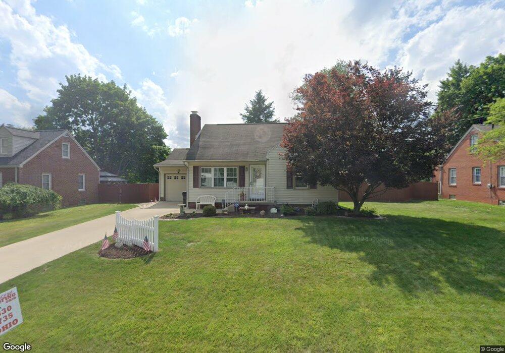
193 Mohawk Ave NW Canton, OH 44708
Sippo Lake NeighborhoodEstimated Value: $151,000 - $191,000
About This Home
This home is located at 193 Mohawk Ave NW, Canton, OH 44708 and is currently estimated at $169,324, approximately $141 per square foot. 193 Mohawk Ave NW is a home located in Stark County with nearby schools including Pfeiffer Intermediate School, Edison Middle School, and Perry High School.
Ownership History
We collect this data history from publicly available records. To have your information removed, we recommend requesting removal directly through your county’s website.
Purchase Details
Home Financials for this Owner
Home Financials are based on the most recent Mortgage that was taken out on this home.Home Values in the Area
Average Home Value in this Area
Purchase History
We collect this data history from publicly available records. To have your information removed, we recommend requesting removal directly through your county’s website.
| Date | Buyer | Sale Price | Title Company |
|---|---|---|---|
| -- | Title Works Ltd |
Mortgage History
We collect this data history from publicly available records. To have your information removed, we recommend requesting removal directly through your county’s website.
| Date | Status | Borrower | Loan Amount |
|---|---|---|---|
| Previous Owner | $56,000 | ||
| Previous Owner | $25,000 |
Tax History
We collect this data history from publicly available records. To have your information removed, we recommend requesting removal directly through your county’s website.
| Year | Tax Paid | Tax Assessment Tax Assessment Total Assessment is a certain percentage of the fair market value that is determined by local assessors to be the total taxable value of land and additions on the property. | Land | Improvement |
|---|---|---|---|---|
| 2025 | -- | $42,670 | $13,790 | $28,880 |
| 2024 | -- | $42,670 | $13,790 | $28,880 |
| 2023 | $1,314 | $35,350 | $11,410 | $23,940 |
| 2022 | $1,344 | $35,350 | $11,410 | $23,940 |
| 2021 | $1,431 | $35,350 | $11,410 | $23,940 |
| 2020 | $1,651 | $29,470 | $9,590 | $19,880 |
| 2019 | $1,490 | $29,480 | $9,590 | $19,890 |
| 2018 | $1,472 | $29,480 | $9,590 | $19,890 |
| 2017 | $1,404 | $26,040 | $7,910 | $18,130 |
| 2016 | $1,412 | $26,040 | $7,910 | $18,130 |
| 2015 | $1,424 | $26,040 | $7,910 | $18,130 |
| 2014 | $1,375 | $24,750 | $7,490 | $17,260 |
| 2013 | $656 | $24,750 | $7,490 | $17,260 |
Map
- 188 Saratoga Ave NW
- 5040 2nd St NW
- 346 Oneida Ave NW
- 145 Anna Ave NW
- 5133 Seaview Cir NW
- 5187 Shoreview Cir NW
- 4935 Quincy St NW
- 128 Woodlawn Ave NW
- 158 Miles Ave NW
- 324 Lynn Cir NW
- 4660 4th St NW
- 5015 12th St SW
- 0 Pershing Ave NW
- 4537 Marcellus St NW
- 238 Roxbury Ave NW
- 1208 Brooklyn Ave SW
- 4536 Aurora St NW
- 184 Ambrose Ave NW
- 5030 12th St NW
- 1005 Miles Ave NW
- 197 Mohawk Ave NW
- 191 Mohawk Ave NW
- 190 Saratoga Ave NW
- 4984 2nd St NW
- 187 Mohawk Ave NW
- 194 Mohawk Ave NW
- 192 Mohawk Ave NW
- 198 Mohawk Ave NW
- 4973 2nd St NW
- 188 Mohawk Ave NW
- 4985 2nd St NW
- 183 Mohawk Ave NW
- 184 Saratoga Ave NW
- 186 Mohawk Ave NW
- 4957 2nd St NW
- 210 Saratoga Ave NW
- 193 Saratoga Ave NW
- 191 Saratoga Ave NW
- 5008 2nd St NW
- 187 Saratoga Ave NW
Ask me questions while you tour the home.