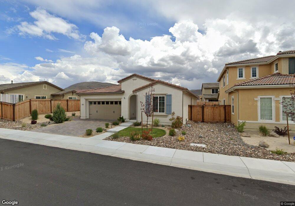
1930 Cascade Stable Dr Reno, NV 89521
Virginia Foothills NeighborhoodEstimated Value: $636,927 - $673,000
3
Beds
2
Baths
1,855
Sq Ft
$355/Sq Ft
Est. Value
About This Home
This home is located at 1930 Cascade Stable Dr, Reno, NV 89521 and is currently estimated at $658,982, approximately $355 per square foot. 1930 Cascade Stable Dr is a home with nearby schools including Nick Poulakidas Elementary School, Kendyl Depoali Middle School, and Damonte Ranch High School.
Ownership History
Date
Name
Owned For
Owner Type
Purchase Details
Closed on
Aug 4, 2017
Sold by
D R Horton Ca2 Inc
Bought by
King Anthony C and King Lynn K
Current Estimated Value
Home Financials for this Owner
Home Financials are based on the most recent Mortgage that was taken out on this home.
Original Mortgage
$213,598
Outstanding Balance
$176,551
Interest Rate
3.88%
Mortgage Type
New Conventional
Estimated Equity
$482,431
Create a Home Valuation Report for This Property
The Home Valuation Report is an in-depth analysis detailing your home's value as well as a comparison with similar homes in the area
Home Values in the Area
Average Home Value in this Area
Purchase History
| Date | Buyer | Sale Price | Title Company |
|---|---|---|---|
| King Anthony C | $364,000 | Dhi Title Of Nevada |
Source: Public Records
Mortgage History
| Date | Status | Borrower | Loan Amount |
|---|---|---|---|
| Open | King Anthony C | $213,598 |
Source: Public Records
Tax History
| Year | Tax Paid | Tax Assessment Tax Assessment Total Assessment is a certain percentage of the fair market value that is determined by local assessors to be the total taxable value of land and additions on the property. | Land | Improvement |
|---|---|---|---|---|
| 2026 | $3,267 | $150,616 | $45,675 | $104,941 |
| 2024 | $4,187 | $145,884 | $41,020 | $104,864 |
| 2023 | $4,067 | $146,324 | $47,565 | $98,759 |
| 2022 | $3,945 | $119,386 | $37,695 | $81,691 |
| 2021 | $3,830 | $110,871 | $29,925 | $80,946 |
| 2020 | $3,717 | $109,613 | $28,945 | $80,668 |
| 2019 | $3,608 | $105,896 | $28,875 | $77,021 |
| 2018 | $3,501 | $95,787 | $20,825 | $74,962 |
| 2017 | $2,312 | $63,310 | $19,145 | $44,165 |
| 2016 | $138 | $3,762 | $3,703 | $59 |
Source: Public Records
Map
Nearby Homes
- 2013 Harmony Valley Way
- 1955 Echo Valley Pkwy
- 2190 Bears Ranch Dr
- 2190 Dutch Draft Dr
- 2135 Horse Prairie Rd
- 2030 Harmony Valley Way
- 2265 Symphony Way
- 9535 Stony Hill Rd
- 2180 Peaceful Valley Dr
- 1797 Trek Trail
- 2000 Long Hollow Dr
- 9267 Blue Basin Trail
- 1771 Trek Trail
- 9900 Wilbur May Pkwy Unit 2405
- 9900 Wilbur May Pkwy Unit 2801
- 9900 Wilbur May Pkwy Unit 3101
- 9900 Wilbur May Pkwy Unit 4404
- 9900 Wilbur May Pkwy Unit 2501
- 9900 Wilbur May Pkwy Unit 1802
- 9900 Wilbur May Pkwy Unit 602
- 1920 Cascade Stable Dr
- 1900 Wind Walker Dr
- 1910 Wind Walker Dr
- 2018 Long Meadow Dr
- 2024 Long Meadow Dr
- 2024 Long Meadow Dr Unit Lot 84
- 1910 Cascade Stable Dr
- 1920 Wind Walker Dr
- 1895 Big Meadow Dr
- 1890 Wind Walker Dr
- 1900 Cascade Stable Dr
- 1885 Big Meadow Dr
- 1885 Big Meadow Dr Unit Lot 114
- 1890 Big Meadow Dr
- 1890 Big Meadow Dr Unit Lot 105
- 1890 Big Meadow Dr Unit S2104
- 1880 Wind Walker Dr
- 2001 Waterhouse Rd
- 2036 Long Meadow Dr
- 1880 Big Meadow Dr
Your Personal Tour Guide
Ask me questions while you tour the home.