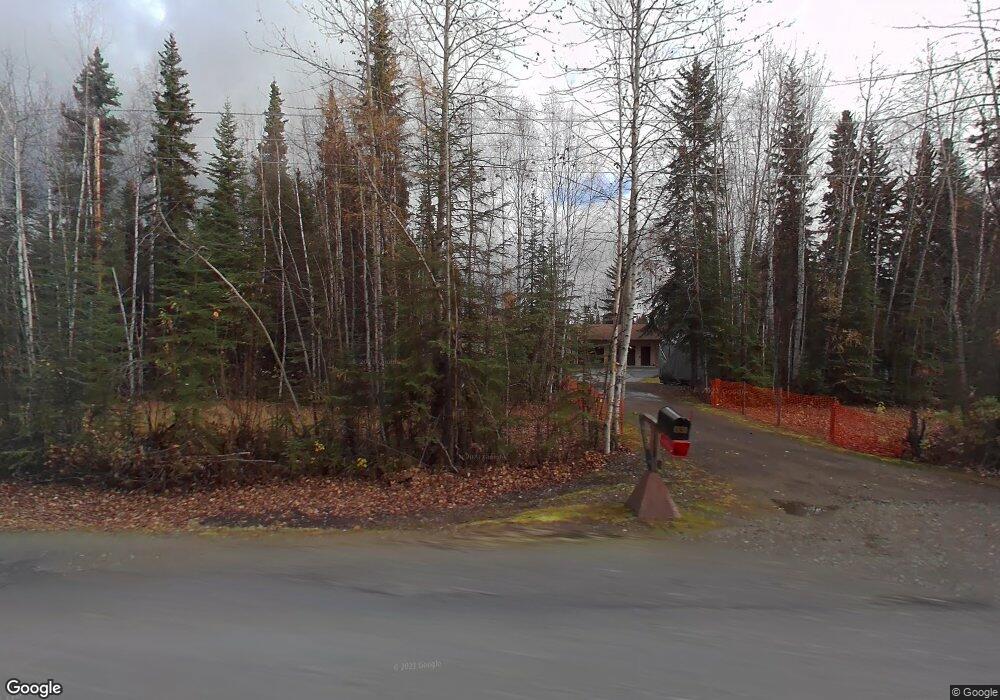
1930 Dawson Rd North Pole, AK 99705
Badger NeighborhoodEstimated Value: $193,000 - $365,800
About This Home
This home is located at 1930 Dawson Rd, North Pole, AK 99705 and is currently estimated at $286,700, approximately $191 per square foot. 1930 Dawson Rd is a home located in Fairbanks North Star Borough with nearby schools including Midnight Sun Elementary School, North Pole Middle School, and North Pole High School.
Ownership History
We collect this data history from publicly available records. To have your information removed, we recommend requesting removal directly through your county’s website.
Purchase Details
Home Financials for this Owner
Home Financials are based on the most recent Mortgage that was taken out on this home.Home Values in the Area
Average Home Value in this Area
Purchase History
We collect this data history from publicly available records. To have your information removed, we recommend requesting removal directly through your county’s website.
| Date | Buyer | Sale Price | Title Company |
|---|---|---|---|
| -- | -- |
Mortgage History
We collect this data history from publicly available records. To have your information removed, we recommend requesting removal directly through your county’s website.
| Date | Status | Borrower | Loan Amount |
|---|---|---|---|
| Open | $158,100 |
Tax History
We collect this data history from publicly available records. To have your information removed, we recommend requesting removal directly through your county’s website.
| Year | Tax Paid | Tax Assessment Tax Assessment Total Assessment is a certain percentage of the fair market value that is determined by local assessors to be the total taxable value of land and additions on the property. | Land | Improvement |
|---|---|---|---|---|
| 2025 | $1,702 | $305,216 | $15,700 | $289,516 |
| 2024 | $1,537 | $294,744 | $15,700 | $279,044 |
| 2023 | $3,788 | $295,795 | $15,700 | $280,095 |
| 2022 | $1,344 | $273,847 | $15,700 | $258,147 |
| 2021 | $3,799 | $247,870 | $15,700 | $232,170 |
| 2020 | $3,683 | $239,462 | $15,700 | $223,762 |
| 2019 | $3,582 | $235,205 | $15,700 | $219,505 |
| 2018 | $3,346 | $234,744 | $15,700 | $219,044 |
| 2017 | $3,483 | $230,626 | $15,700 | $214,926 |
| 2016 | $3,292 | $225,664 | $15,700 | $209,964 |
| 2015 | $3,194 | $220,437 | $15,700 | $204,737 |
| 2014 | $3,194 | $221,488 | $15,700 | $205,788 |
Map
- nhn Dawson Rd
- 1859 Jessica Loop
- 3165 Storey Dr
- 2030 My Ct
- 2045 My Ct
- 2053 Blackstone Rd
- 3205 Repp Rd
- 2121 Blackstone Rd
- 2199 Grantham Ln
- 2168 Ermine Dr
- 3228 Trestrail Loop
- 1963 Parham McCormick Rd
- 3183 4-D Ct
- 1992 Hollowell Rd
- 3045 Taxilane A
- 2235 Blackstone Rd
- 1787 Hollowell Rd
- 2916 Nikolai Ave
- 2245 Armorica Dr
- 2906 Nikolai Ave
- 3325 Saturn Way
- 1931 E Athena Cir
- 3312 Saturn Way
- 3310 Venus Dr
- 000 Homer Dr
- 1955 Dawson Rd
- 3324 Venus Dr
- 3322 Saturn Way
- 3339 Saturn Way
- 1953 E Athena Cir
- 3288 Plato Way
- 3338 Venus Dr
- 3307 Venus Dr
- 3311 Mars Ave
- 3269 Plato Way
- 3321 Venus Dr
- 1940 E Athena Cir
- 3321 Mars Ave
- 1969 Dawson Rd
- 1915 Jupiter Dr
Ask me questions while you tour the home.