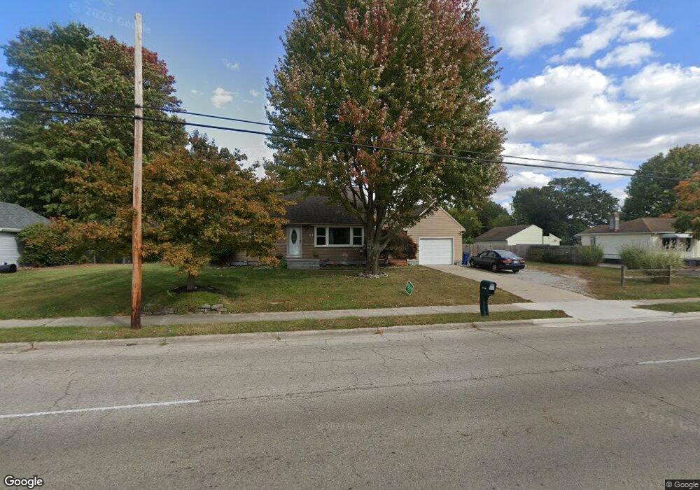
1930 Selma Rd Springfield, OH 45505
Estimated Value: $128,177 - $164,000
About This Home
This home is located at 1930 Selma Rd, Springfield, OH 45505 and is currently estimated at $143,544, approximately $186 per square foot. 1930 Selma Rd is a home located in Clark County with nearby schools including Kenwood Elementary School, Hayward Middle School, and Springfield High School.
Ownership History
We collect this data history from publicly available records. To have your information removed, we recommend requesting removal directly through your county’s website.
Purchase Details
Purchase Details
Home Financials for this Owner
Home Financials are based on the most recent Mortgage that was taken out on this home.Home Values in the Area
Average Home Value in this Area
Purchase History
We collect this data history from publicly available records. To have your information removed, we recommend requesting removal directly through your county’s website.
| Date | Buyer | Sale Price | Title Company |
|---|---|---|---|
| -- | None Available | ||
| -- | -- |
Mortgage History
We collect this data history from publicly available records. To have your information removed, we recommend requesting removal directly through your county’s website.
| Date | Status | Borrower | Loan Amount |
|---|---|---|---|
| Closed | $62,316 |
Tax History
We collect this data history from publicly available records. To have your information removed, we recommend requesting removal directly through your county’s website.
| Year | Tax Paid | Tax Assessment Tax Assessment Total Assessment is a certain percentage of the fair market value that is determined by local assessors to be the total taxable value of land and additions on the property. | Land | Improvement |
|---|---|---|---|---|
| 2025 | $1,576 | $40,610 | $6,510 | $34,100 |
| 2024 | $1,535 | $31,820 | $5,670 | $26,150 |
| 2023 | $1,535 | $31,820 | $5,670 | $26,150 |
| 2022 | $1,572 | $31,820 | $5,670 | $26,150 |
| 2021 | $1,291 | $24,080 | $3,490 | $20,590 |
| 2020 | $1,294 | $24,080 | $3,490 | $20,590 |
| 2019 | $1,297 | $24,080 | $3,490 | $20,590 |
| 2018 | $1,220 | $21,790 | $3,100 | $18,690 |
| 2017 | $1,219 | $20,850 | $3,098 | $17,752 |
| 2016 | $1,221 | $20,850 | $3,098 | $17,752 |
| 2015 | $1,460 | $20,850 | $3,098 | $17,752 |
| 2014 | $1,454 | $20,850 | $3,098 | $17,752 |
| 2013 | $1,438 | $20,850 | $3,098 | $17,752 |
Map
- 1612 Victory Dr
- 1633 N Sweetbriar Ln
- 1740 Victory Dr
- 1835 S Sweetbriar Ln
- 2050 S Hadley Rd
- 1705 Rutland Ave
- 1846 Ohio Ave
- 2390 Old Selma Rd
- 2214 Wrenwood Rd
- 2217 S Hadley Rd
- 1907 Maryland Ave
- 1724 Clay St
- 1027 Lafayette Ave
- 1979 Kenton St
- 550 E Rose St
- 1652 Kenton St
- 1628 Kenton St
- 1625 E Pleasant St
- 2119 Hackberry St
- 2203 Hackberry St
- 1916 Selma Rd
- 1906 Selma Rd
- 1531 Memorial Dr
- 1517 Victory Dr
- 1525 Victory Dr
- 1539 Memorial Dr
- 1942 Selma Rd
- 0 Selma Rd Unit 538552
- 0 Selma Rd Unit 375764
- 1508 Victory Dr
- 1520 Victory Dr
- 1545 Memorial Dr
- 1840 Selma Rd
- 1545 Victory Dr
- 1548 Memorial Dr
- 1530 Victory Dr
- 1553 Memorial Dr
- 1540 Victory Dr
- 1555 Victory Dr
- 1562 Memorial Dr
Ask me questions while you tour the home.