1930 W Beeville Loop Rd Matlock, WA 98560
Estimated Value: $487,000 - $596,944
3
Beds
2
Baths
2,784
Sq Ft
$195/Sq Ft
Est. Value
About This Home
This home is located at 1930 W Beeville Loop Rd, Matlock, WA 98560 and is currently estimated at $541,972, approximately $194 per square foot. 1930 W Beeville Loop Rd is a home located in Mason County with nearby schools including Mary M. Knight School and Washington Connections Academy.
Ownership History
Date
Name
Owned For
Owner Type
Purchase Details
Closed on
Nov 10, 2017
Sold by
Ruthruff Anita K
Bought by
Ruthruff Jimmy D
Current Estimated Value
Purchase Details
Closed on
Nov 1, 2017
Sold by
Ruthruff Anita Kay
Bought by
Ruthruff Jimmy Dale
Create a Home Valuation Report for This Property
The Home Valuation Report is an in-depth analysis detailing your home's value as well as a comparison with similar homes in the area
Purchase History
| Date | Buyer | Sale Price | Title Company |
|---|---|---|---|
| Ruthruff Jimmy D | -- | None Listed On Document | |
| Ruthruff Jimmy Dale | -- | None Available |
Source: Public Records
Tax History
| Year | Tax Paid | Tax Assessment Tax Assessment Total Assessment is a certain percentage of the fair market value that is determined by local assessors to be the total taxable value of land and additions on the property. | Land | Improvement |
|---|---|---|---|---|
| 2025 | $3,450 | $522,880 | $113,875 | $409,005 |
| 2023 | $3,450 | $463,155 | $72,250 | $390,905 |
| 2022 | $3,601 | $379,085 | $55,150 | $323,935 |
| 2021 | $3,259 | $379,085 | $55,150 | $323,935 |
| 2020 | $3,211 | $324,790 | $55,150 | $269,640 |
| 2018 | $3,265 | $264,470 | $78,795 | $185,675 |
| 2017 | $2,783 | $264,470 | $78,795 | $185,675 |
| 2016 | $2,574 | $257,355 | $78,030 | $179,325 |
| 2015 | $2,667 | $233,520 | $66,555 | $166,965 |
| 2014 | -- | $234,920 | $66,555 | $168,365 |
| 2013 | -- | $241,935 | $68,850 | $173,085 |
Source: Public Records
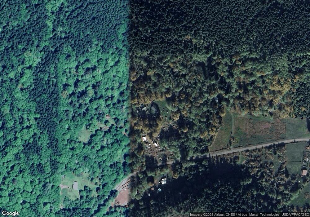
Map
Nearby Homes
- 1531 W Ford Rd
- 211 W New Moon Ln
- 0 XX W Maple Rock Rd
- 71 Doggone Ln
- 433 W Lucas Ln
- 981 W Homer Adams Rd
- 0 Cougar Smith Rd
- 280 W Newberry Ln
- 1982 W Ford Loop Rd
- 0 Lot A W Satsop Bridge Rd
- 0 Lot B W Satsop Bridge Rd
- 20 W Newberry Ln
- 220 W Buck Prairie Rd
- 0 E of Bingham Creek Unit NWM2465199
- 5211 W Skokomish Valley Rd
- 3000 W Martin Rd
- 0 Lot 4 W Elk Hill Rd
- 0 Lot 1&2 W Elk Hill Rd
- 80 W Satsop Dr
- 100 W Reller Rd
- 1940 W Beeville Loop Rd
- 1931 W Beeville Loop Rd
- 0 XXX W Beeville Loop Rd
- 2791 W Beeville Loop Rd
- 1949 W Beeville Loop Rd
- 1551 W Beeville Loop Rd
- 1500 W Beeville Loop Rd
- 1401 W Beeville Loop Rd
- 1023 W Beeville Loop Rd Unit Rd
- 0 W Beeville Lp Unit 1624171
- 901 W Beeville Loop Rd
- 2600 W Beeville Loop Rd
- 2530 W Beeville Loop Rd
- 2770 W Beeville Loop Rd
Your Personal Tour Guide
Ask me questions while you tour the home.