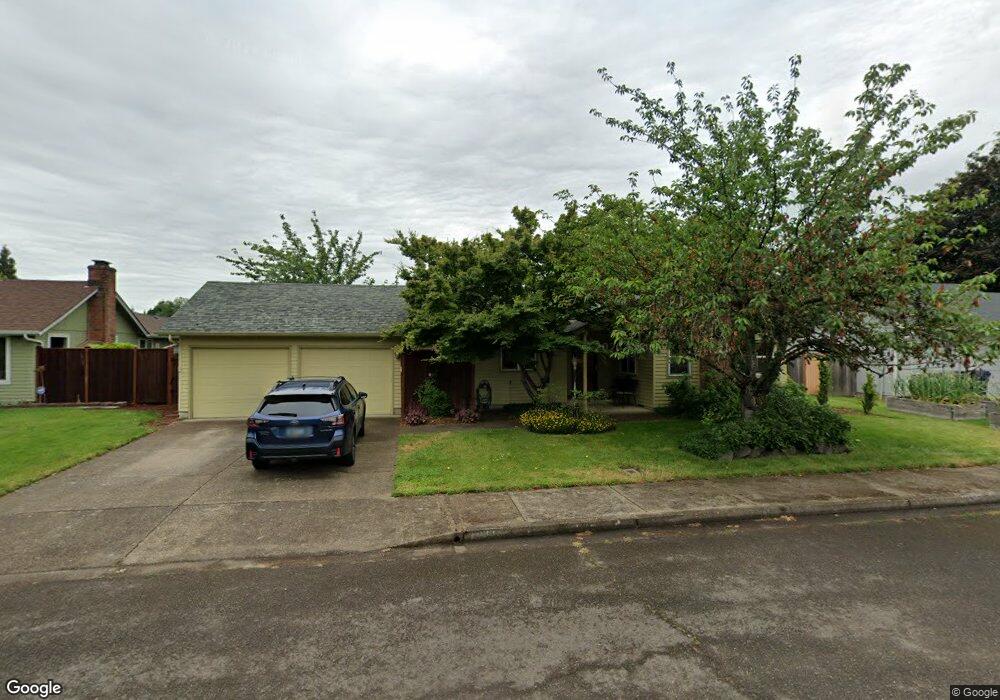
1933 Lemming Ave Eugene, OR 97401
Cal Young NeighborhoodEstimated Value: $429,000 - $484,000
3
Beds
2
Baths
1,439
Sq Ft
$314/Sq Ft
Est. Value
About This Home
This home is located at 1933 Lemming Ave, Eugene, OR 97401 and is currently estimated at $451,700, approximately $313 per square foot. 1933 Lemming Ave is a home located in Lane County with nearby schools including Willagillespie Elementary School, Monroe Middle School, and Sheldon High School.
Ownership History
Date
Name
Owned For
Owner Type
Purchase Details
Closed on
Mar 6, 2001
Sold by
Swarthmore College
Bought by
Wingard Christopher W and Wingard Lauren L
Current Estimated Value
Home Financials for this Owner
Home Financials are based on the most recent Mortgage that was taken out on this home.
Original Mortgage
$108,000
Outstanding Balance
$38,633
Interest Rate
7.12%
Estimated Equity
$413,067
Purchase Details
Closed on
Sep 6, 2000
Sold by
Jane Stone Jeremy J and Jane Betty
Bought by
Swarthmore College and Betty Jane & Jeremy Stone Irrevocable Un
Create a Home Valuation Report for This Property
The Home Valuation Report is an in-depth analysis detailing your home's value as well as a comparison with similar homes in the area
Home Values in the Area
Average Home Value in this Area
Purchase History
| Date | Buyer | Sale Price | Title Company |
|---|---|---|---|
| Wingard Christopher W | $135,000 | Western Title & Escrow Compa | |
| Swarthmore College | -- | Western Pioneer Title Co |
Source: Public Records
Mortgage History
| Date | Status | Borrower | Loan Amount |
|---|---|---|---|
| Open | Wingard Christopher W | $108,000 |
Source: Public Records
Tax History
| Year | Tax Paid | Tax Assessment Tax Assessment Total Assessment is a certain percentage of the fair market value that is determined by local assessors to be the total taxable value of land and additions on the property. | Land | Improvement |
|---|---|---|---|---|
| 2025 | $4,866 | $249,746 | -- | -- |
| 2024 | $4,805 | $242,472 | -- | -- |
| 2023 | $4,805 | $235,410 | $0 | $0 |
| 2022 | $4,502 | $228,554 | $0 | $0 |
| 2021 | $4,228 | $221,898 | $0 | $0 |
| 2020 | $4,243 | $215,435 | $0 | $0 |
| 2019 | $4,098 | $209,161 | $0 | $0 |
| 2018 | $3,858 | $197,154 | $0 | $0 |
| 2017 | $3,641 | $197,154 | $0 | $0 |
| 2016 | $3,485 | $191,412 | $0 | $0 |
| 2015 | $3,332 | $185,837 | $0 | $0 |
| 2014 | $3,219 | $180,424 | $0 | $0 |
Source: Public Records
Map
Nearby Homes
- 1810 Minda Dr
- 1943 Monterey Ln
- 1625 Monterey Ln
- 1521 Gilham Rd
- 2291 Norkenzie Rd
- 2132 Willona Dr
- 2134 Willona Dr
- 0 Cal Young Rd Unit Lot 4
- 2207 Willona Dr
- 1697 Elanco Ave
- 2495 Jeppesen Acres Rd
- 1500 Norkenzie Rd Unit 12
- 1332 Jeppesen Ave
- 2280 Tabor St
- 2420 Willona Dr
- 1328 Spyglass Dr
- 0 Piper Ln Unit Lot 1
- 0 Piper Ln Unit Lot 3
- 0 Piper Ln Unit Lot 2
- 0 Piper Ln Unit Lot 5
- 1961 Shiloh St
- 1921 Lemming Ave
- 1945 Lemming Ave
- 1987 Shiloh St
- 1949 Shiloh St
- 1928 Lemming Ave
- 1957 Lemming Ave
- 1930 Lemming Ave
- 1909 Lemming Ave
- 1997 Shiloh St
- 1926 Lemming Ave
- 1911 Shiloh St
- 1940 Lemming Ave
- 1962 Shiloh St
- 1924 Lemming Ave
- 1982 Shiloh St
- 2023 Shiloh St
- 2000 Brewer Ave
- 1932 Shiloh St
- 1994 Shiloh St
Your Personal Tour Guide
Ask me questions while you tour the home.