Estimated Value: $434,000 - $520,000
About This Home
This home is located at 1935 Baker Ln, Stow, OH 44224 and is currently estimated at $481,875, approximately $284 per square foot. 1935 Baker Ln is a home with nearby schools including Stow-Munroe Falls High School, Primrose School of Hudson, and Holy Family Elementary School.
Ownership History
We collect this data history from publicly available records. To have your information removed, we recommend requesting removal directly through your county’s website.
Purchase Details
Home Financials for this Owner
Home Financials are based on the most recent Mortgage that was taken out on this home.Home Values in the Area
Average Home Value in this Area
Purchase History
We collect this data history from publicly available records. To have your information removed, we recommend requesting removal directly through your county’s website.
| Date | Buyer | Sale Price | Title Company |
|---|---|---|---|
| $310,545 | None Available |
Mortgage History
We collect this data history from publicly available records. To have your information removed, we recommend requesting removal directly through your county’s website.
| Date | Status | Borrower | Loan Amount |
|---|---|---|---|
| Open | $248,436 |
Tax History
We collect this data history from publicly available records. To have your information removed, we recommend requesting removal directly through your county’s website.
| Year | Tax Paid | Tax Assessment Tax Assessment Total Assessment is a certain percentage of the fair market value that is determined by local assessors to be the total taxable value of land and additions on the property. | Land | Improvement |
|---|---|---|---|---|
| 2026 | $10,824 | $135,300 | $25,648 | $109,652 |
| 2024 | $7,595 | $135,300 | $25,648 | $109,652 |
| 2023 | $7,595 | $135,300 | $25,648 | $109,652 |
| 2022 | $6,937 | $109,113 | $20,685 | $88,428 |
| 2021 | $6,207 | $109,113 | $20,685 | $88,428 |
| 2020 | $6,100 | $109,120 | $20,690 | $88,430 |
| 2019 | $6,162 | $103,080 | $20,690 | $82,390 |
| 2018 | $6,061 | $103,080 | $20,690 | $82,390 |
| 2017 | $0 | $103,080 | $20,690 | $82,390 |
| 2016 | $219 | $2,490 | $2,490 | $0 |
| 2015 | -- | $0 | $0 | $0 |
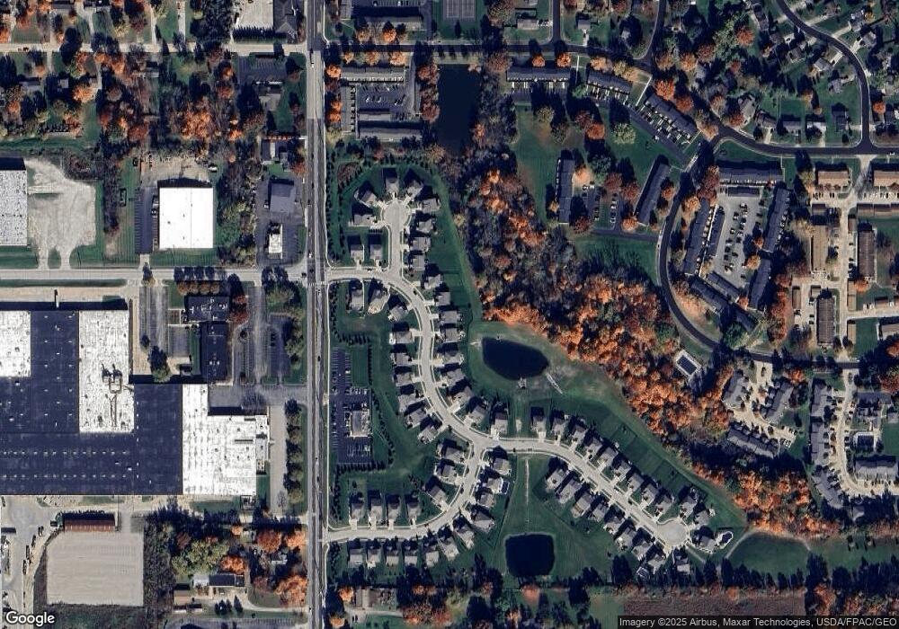
Map
- 1946 Leisure Ln
- 1969 Willowdale Dr
- 4457 Forest Lake Ct
- 1528 Spruce Hill Dr
- 1826 Arndale Rd
- 1480 Meadowbrook Blvd
- 1979 Sandy Hook
- 4760 Sunnyside Dr
- 4748 Sunnyside Dr
- 2077 King Dr
- 4994 Comanche Trail
- 5111 Rockport Cove
- 1259 Meadowbrook Blvd
- 2412 Wrens Dr S
- 2450 Wrens Dr S
- 2344 Echo Valley Dr
- 4709 Nottingham Ln
- 4281 Meadowlark Trail
- V/L Housley Rd
- 3943 Darrow Rd
- 1968 Baker Ln
- 1962 Baker Ln
- 1967 Baker Ln
- 1958 Baker Ln
- 1975 Baker Ln
- 1959 Baker Ln
- 1983 Baker Ln
- 1949 Leisure Ln
- 1949 Baker Ln
- 1950 Baker Ln
- 1958 Leisure Ln
- 1952 Inverness Ln
- 1952 Leisure Ln
- 1941 Baker Ln
- 1925 Leisure Ln
- 1938 Baker Ln
- 1938 Inverness Ln
- 1946 Inverness Ln
- 1995 Baker Ln
- 1932 Leisure Ln
Ask me questions while you tour the home.