1937 Mcdade Rd Hephzibah, GA 30815
McDade NeighborhoodEstimated Value: $252,871 - $313,000
3
Beds
2
Baths
2,440
Sq Ft
$116/Sq Ft
Est. Value
About This Home
This home is located at 1937 Mcdade Rd, Hephzibah, GA 30815 and is currently estimated at $282,468, approximately $115 per square foot. 1937 Mcdade Rd is a home located in Richmond County with nearby schools including Goshen Elementary School, Pine Hill Middle School, and Johnson Magnet.
Ownership History
Date
Name
Owned For
Owner Type
Purchase Details
Closed on
Apr 19, 1999
Sold by
Beck William D
Bought by
Beck Debra A
Current Estimated Value
Home Financials for this Owner
Home Financials are based on the most recent Mortgage that was taken out on this home.
Original Mortgage
$65,800
Interest Rate
7%
Purchase Details
Closed on
Sep 1, 1981
Create a Home Valuation Report for This Property
The Home Valuation Report is an in-depth analysis detailing your home's value as well as a comparison with similar homes in the area
Home Values in the Area
Average Home Value in this Area
Purchase History
We collect this data history from publicly available records. To have your information removed, we recommend requesting removal directly through your county’s website.
| Date | Buyer | Sale Price | Title Company |
|---|---|---|---|
| Beck Debra A | -- | -- | |
| Beck William D | -- | -- | |
| -- | $5,000 | -- |
Source: Public Records
Mortgage History
We collect this data history from publicly available records. To have your information removed, we recommend requesting removal directly through your county’s website.
| Date | Status | Borrower | Loan Amount |
|---|---|---|---|
| Closed | Beck William D | $65,800 |
Source: Public Records
Tax History
| Year | Tax Paid | Tax Assessment Tax Assessment Total Assessment is a certain percentage of the fair market value that is determined by local assessors to be the total taxable value of land and additions on the property. | Land | Improvement |
|---|---|---|---|---|
| 2025 | $1,355 | $113,836 | $6,741 | $107,095 |
| 2024 | $1,355 | $103,784 | $6,741 | $97,043 |
| 2023 | $1,233 | $102,900 | $6,741 | $96,159 |
| 2022 | $1,223 | $84,922 | $6,741 | $78,181 |
| 2021 | $1,027 | $59,394 | $6,741 | $52,653 |
| 2020 | $1,034 | $59,394 | $6,741 | $52,653 |
| 2019 | $1,079 | $59,394 | $6,741 | $52,653 |
| 2018 | $1,048 | $56,551 | $6,741 | $49,810 |
| 2017 | $978 | $56,551 | $6,741 | $49,810 |
| 2016 | $1,997 | $56,551 | $6,741 | $49,810 |
| 2015 | $2,010 | $56,551 | $6,741 | $49,810 |
| 2014 | $2,013 | $56,551 | $6,741 | $49,810 |
Source: Public Records
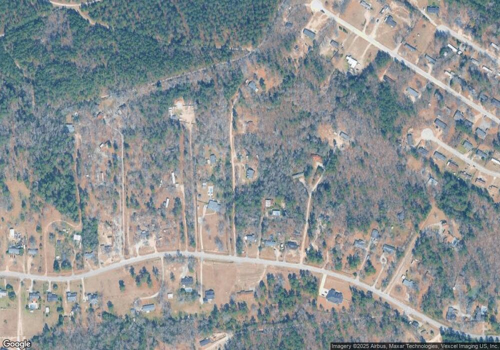
Map
Nearby Homes
- 1898 McDade Farm Rd
- 4047 Union Grove Cir
- 3926 Union Grove Cir
- 3920 Union Grove Cir
- 1894 Mcdade Rd
- 3405 Southern Ridge Ct
- 2031 Mcdade Rd
- 3314 Southern Pines Dr
- 2005 McDade Farm Rd
- 3971 Old Waynesboro Rd
- 3973 Old Waynesboro Rd
- 3819 Clanton Rd
- 4077 Burning Tree Ln
- 1775 Brown Rd
- 4014 Royal Oaks Ct
- 2039 McDade Farm Rd
- 4034 Burning Tree Ln
- 4041 Goshen Lake Dr S
- 4038 Goshen Lake Dr S
- 4152 Big Oak Dr
- 1929 Mcdade Rd
- 1931 Mcdade Rd
- 1935 Mcdade Rd
- 1963 Mcdade Rd
- 1883 Mcdade Rd
- 1925 Mcdade Rd
- 1943 Mcdade Rd
- 1943 Mcdade Rd
- 1921 McDade Farm Rd
- 1921 Mcdade Rd
- 1949 McDade Farm Rd
- 1910 Mcdade Rd
- 1919 Mcdade Rd
- 1933 Mcdade Rd
- 1915 Mcdade Rd
- 1926 Mcdade Rd
- 1930 Mcdade Rd
- 1943 McDade Farm Rd
- 1943 McDade Farm Rd Unit F
- 1943 McDade Farm Rd Unit B
Your Personal Tour Guide
Ask me questions while you tour the home.