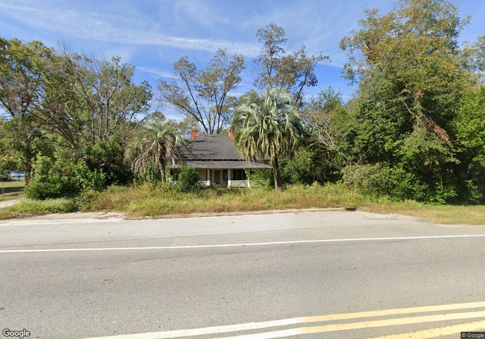
1937 State St Waycross, GA 31501
Estimated Value: $81,588 - $138,000
2
Beds
1
Bath
1,627
Sq Ft
$63/Sq Ft
Est. Value
About This Home
This home is located at 1937 State St, Waycross, GA 31501 and is currently estimated at $102,397, approximately $62 per square foot. 1937 State St is a home located in Ware County with nearby schools including Wacona Elementary School, Ware County Middle School, and Ware County High School.
Ownership History
Date
Name
Owned For
Owner Type
Purchase Details
Closed on
Jun 25, 2025
Sold by
Hurtado David
Bought by
Hurtado Ricardo Jacob
Current Estimated Value
Purchase Details
Closed on
Dec 9, 2022
Sold by
Kitchen Otis D
Bought by
Hurtado David
Purchase Details
Closed on
Jan 30, 2012
Sold by
Kitchen Sheryl Jeanne
Bought by
Kitchen Addie M and Kitchen Otis D
Purchase Details
Closed on
Jan 20, 2006
Sold by
Kitchen Otis
Bought by
Kitchen Sheryl Jeanne and Kitchen Sheila Renee
Purchase Details
Closed on
Jul 31, 1997
Sold by
Vining Estelle Gray
Bought by
Kitchen Otis and Kitchen Addie
Purchase Details
Closed on
Sep 22, 1986
Bought by
Vining Estelle Gray
Create a Home Valuation Report for This Property
The Home Valuation Report is an in-depth analysis detailing your home's value as well as a comparison with similar homes in the area
Purchase History
| Date | Buyer | Sale Price | Title Company |
|---|---|---|---|
| Hurtado Ricardo Jacob | -- | -- | |
| Hurtado David | $45,500 | -- | |
| Kitchen Addie M | -- | -- | |
| Kitchen Addie M | -- | -- | |
| Kitchen Sheryl Jeanne | -- | -- | |
| Kitchen Otis | $40,000 | -- | |
| Vining Estelle Gray | -- | -- |
Source: Public Records
Tax History
| Year | Tax Paid | Tax Assessment Tax Assessment Total Assessment is a certain percentage of the fair market value that is determined by local assessors to be the total taxable value of land and additions on the property. | Land | Improvement |
|---|---|---|---|---|
| 2025 | $762 | $30,198 | $2,112 | $28,086 |
| 2024 | $762 | $27,826 | $2,112 | $25,714 |
| 2023 | $716 | $22,745 | $1,185 | $21,560 |
| 2022 | $657 | $22,745 | $1,185 | $21,560 |
| 2021 | $507 | $16,155 | $1,185 | $14,970 |
| 2020 | $424 | $13,361 | $1,185 | $12,176 |
| 2019 | $416 | $12,862 | $1,185 | $11,677 |
| 2018 | $420 | $12,862 | $1,185 | $11,677 |
| 2017 | $427 | $13,088 | $1,185 | $11,903 |
| 2016 | $427 | $13,088 | $1,185 | $11,903 |
| 2015 | $431 | $13,088 | $1,185 | $11,903 |
| 2014 | -- | $13,088 | $1,185 | $11,903 |
| 2013 | -- | $13,088 | $1,185 | $11,903 |
Source: Public Records
Map
Nearby Homes
- 109 Hebard St
- 2350 Edgewood St
- 312 Jessie St
- 240 E Blackshear Ave
- 121 Union St
- 1208 Abner St
- 1407 Hazel St
- 1712 Martin Luther King Dr
- Lot 155 Augusta Cherokee Ave
- 371 Cherokee Ave
- 1509 Bethune St
- 161 Sierra Ln
- 1601 Genoa St
- 1219 Clough St
- 702 E Waring St
- 2075 Sylvia Ln
- 221 Sierra Ln
- 1110 Jordan St
- 119 E Wacona Dr
- 2117 Tamara Rd
- 1937 Ossie Davis Pkwy
- 1931 State St
- 1941 State St
- 2150 Monroe Ave
- 1945 Ossie Davis Pkwy
- 1940 Abc Ave
- 1945 State St
- 1932 Abc Ave
- 1927 State St
- 1936 Abc Ave
- 1953 State St
- 1944 Abc Ave
- 1934 Kirkland St
- 1930 Kirkland St
- 1925 State St
- 1946 Abc Ave
- 1944 State St
- 1924 Kirkland St
- 1935 Mcclure St
- 1920 Kirkland St
Your Personal Tour Guide
Ask me questions while you tour the home.