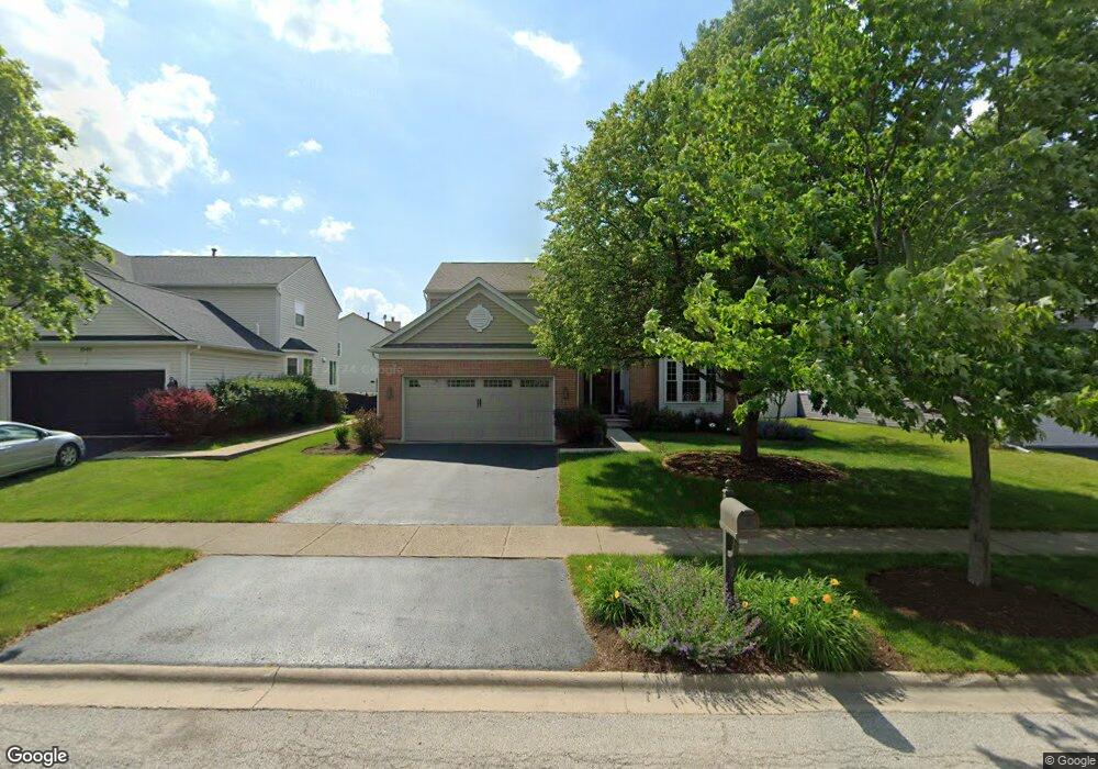
1939 Seaview Dr Aurora, IL 60503
Far Southeast NeighborhoodEstimated Value: $451,535 - $499,000
About This Home
This home is located at 1939 Seaview Dr, Aurora, IL 60503 and is currently estimated at $484,634, approximately $199 per square foot. 1939 Seaview Dr is a home located in Will County with nearby schools including Homestead Elementary School, Murphy Junior High School, and Oswego East High School.
Ownership History
We collect this data history from publicly available records. To have your information removed, we recommend requesting removal directly through your county’s website.
Purchase Details
Home Values in the Area
Average Home Value in this Area
Purchase History
We collect this data history from publicly available records. To have your information removed, we recommend requesting removal directly through your county’s website.
| Date | Buyer | Sale Price | Title Company |
|---|---|---|---|
| -- | Attorney |
Tax History
We collect this data history from publicly available records. To have your information removed, we recommend requesting removal directly through your county’s website.
| Year | Tax Paid | Tax Assessment Tax Assessment Total Assessment is a certain percentage of the fair market value that is determined by local assessors to be the total taxable value of land and additions on the property. | Land | Improvement |
|---|---|---|---|---|
| 2024 | $11,779 | $135,665 | $23,259 | $112,406 |
| 2023 | $11,128 | $119,846 | $20,547 | $99,299 |
| 2022 | $9,888 | $105,364 | $19,437 | $85,927 |
| 2021 | $9,827 | $100,346 | $18,511 | $81,835 |
| 2020 | $9,409 | $98,756 | $18,218 | $80,538 |
| 2019 | $9,508 | $95,973 | $17,705 | $78,268 |
| 2018 | $8,599 | $84,594 | $17,315 | $67,279 |
| 2017 | $8,455 | $82,410 | $16,868 | $65,542 |
| 2016 | $8,474 | $80,636 | $16,505 | $64,131 |
| 2015 | $9,130 | $77,534 | $15,870 | $61,664 |
| 2014 | $9,130 | $77,180 | $15,870 | $61,310 |
| 2013 | $9,130 | $77,180 | $15,870 | $61,310 |
Map
- 1767 Delta Dr
- 3288 Wildlight Rd
- 3102 Adelwood Cir
- 3264 Oak Creek Ln
- 3252 Oak Creek Ln
- 3383 Fulshear Cir
- 3379 Fulshear Cir
- 3160 Cambria Ct Unit 413
- 2900 Dorothy Dr
- 2931 Grand Ridge Cir
- 2255 Georgetown Cir
- 3128 Quincy Ln
- 2509 Rosehall Ln
- 1389 Valayna Dr
- 2860 Bridgeport Ln Unit 19D
- 1704 Charlotte Cir
- 2682 Avondale Cir
- 2727 Northmoor Dr
- 2495 Hafenrichter Rd
- 4467 Monroe Ct
Ask me questions while you tour the home.