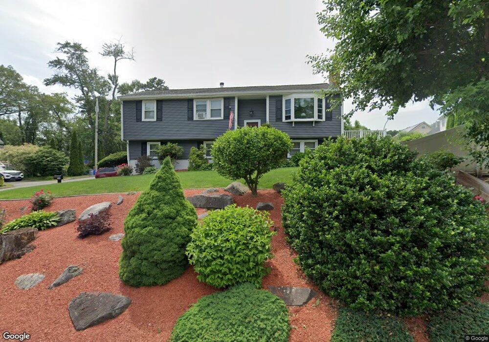
194 Totman Rd Lowell, MA 01854
Pawtucketville NeighborhoodEstimated Value: $563,000 - $614,000
3
Beds
2
Baths
1,766
Sq Ft
$329/Sq Ft
Est. Value
About This Home
This home is located at 194 Totman Rd, Lowell, MA 01854 and is currently estimated at $581,116, approximately $329 per square foot. 194 Totman Rd is a home located in Middlesex County with nearby schools including Joseph McAvinnue Elementary School, Charlotte M. Murkland Elementary School, and Dr. Gertrude Bailey Elementary School.
Ownership History
Date
Name
Owned For
Owner Type
Purchase Details
Closed on
May 28, 2004
Sold by
Courtemanche Brian and Courtemanche Kelley
Bought by
Osullivan Susan E and Rogers Sean
Current Estimated Value
Home Financials for this Owner
Home Financials are based on the most recent Mortgage that was taken out on this home.
Original Mortgage
$43,500
Outstanding Balance
$21,093
Interest Rate
5.88%
Mortgage Type
Purchase Money Mortgage
Estimated Equity
$560,023
Purchase Details
Closed on
Sep 29, 2000
Sold by
Sullivan Brian D and Sullivan Barbara
Bought by
Coutemanche Brian and Coutemanche Kelley
Create a Home Valuation Report for This Property
The Home Valuation Report is an in-depth analysis detailing your home's value as well as a comparison with similar homes in the area
Home Values in the Area
Average Home Value in this Area
Purchase History
| Date | Buyer | Sale Price | Title Company |
|---|---|---|---|
| Osullivan Susan E | $290,000 | -- | |
| Osullivan Susan E | $290,000 | -- | |
| Coutemanche Brian | $192,000 | -- | |
| Coutemanche Brian | $192,000 | -- |
Source: Public Records
Mortgage History
| Date | Status | Borrower | Loan Amount |
|---|---|---|---|
| Open | Osullivan Susan E | $43,500 | |
| Closed | Coutemanche Brian | $43,500 | |
| Previous Owner | Coutemanche Brian | $152,000 |
Source: Public Records
Tax History
| Year | Tax Paid | Tax Assessment Tax Assessment Total Assessment is a certain percentage of the fair market value that is determined by local assessors to be the total taxable value of land and additions on the property. | Land | Improvement |
|---|---|---|---|---|
| 2025 | $5,686 | $495,300 | $175,900 | $319,400 |
| 2024 | $5,694 | $478,100 | $164,400 | $313,700 |
| 2023 | $5,505 | $443,200 | $142,900 | $300,300 |
| 2022 | $5,057 | $398,500 | $129,900 | $268,600 |
| 2021 | $4,680 | $347,700 | $113,000 | $234,700 |
| 2020 | $4,509 | $337,500 | $115,300 | $222,200 |
| 2019 | $4,543 | $323,600 | $101,500 | $222,100 |
| 2018 | $4,194 | $294,400 | $96,700 | $197,700 |
| 2017 | $4,134 | $277,100 | $87,900 | $189,200 |
| 2016 | $3,901 | $257,300 | $82,000 | $175,300 |
| 2015 | $3,782 | $244,300 | $80,300 | $164,000 |
| 2013 | $3,532 | $235,300 | $100,900 | $134,400 |
Source: Public Records
Map
Nearby Homes
- 89 Coburn Dr
- 101 Laurie Ln
- 50 Totman Rd
- 9 Photine Dr
- 15 Meadow Dr
- 54 Shirley Ave
- 1215 Pawtucket Blvd Unit 45
- 1461 Pawtucket Blvd Unit D-6
- 5 Patriot Way
- 1600 Skyline Dr Unit 2
- 2200 Skyline Dr Unit 4
- 1975 Middlesex St Unit 2
- 1975 Middlesex St Unit 10
- 737 Wellman Ave Unit 737
- 24 Brouilette St Unit A
- 2 Walter G Wiede St Unit 1
- 152 Wellman Ave Unit 152
- 58 Church St
- 71 Kennedy Dr Unit 71
- 139 Wellman Ave Unit 139
Your Personal Tour Guide
Ask me questions while you tour the home.