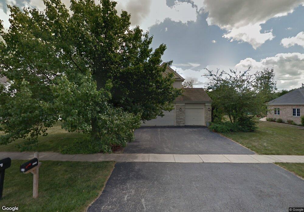
1940 Talon Dr New Lenox, IL 60451
Estimated Value: $512,344 - $608,000
About This Home
This home is located at 1940 Talon Dr, New Lenox, IL 60451 and is currently estimated at $571,836. 1940 Talon Dr is a home located in Will County with nearby schools including Spencer Trail, Spencer Pointe, and Spencer Crossing Intermediate School.
Ownership History
We collect this data history from publicly available records. To have your information removed, we recommend requesting removal directly through your county’s website.
Purchase Details
Home Financials for this Owner
Home Financials are based on the most recent Mortgage that was taken out on this home.Purchase Details
Purchase Details
Home Financials for this Owner
Home Financials are based on the most recent Mortgage that was taken out on this home.Home Values in the Area
Average Home Value in this Area
Purchase History
We collect this data history from publicly available records. To have your information removed, we recommend requesting removal directly through your county’s website.
| Date | Buyer | Sale Price | Title Company |
|---|---|---|---|
| $363,500 | Chicago Title Insurance Co | ||
| $232,000 | Ticor Title | ||
| $215,000 | Chicago Title Insurance Co |
Mortgage History
We collect this data history from publicly available records. To have your information removed, we recommend requesting removal directly through your county’s website.
| Date | Status | Borrower | Loan Amount |
|---|---|---|---|
| Open | $290,800 | ||
| Previous Owner | $198,000 |
Tax History
We collect this data history from publicly available records. To have your information removed, we recommend requesting removal directly through your county’s website.
| Year | Tax Paid | Tax Assessment Tax Assessment Total Assessment is a certain percentage of the fair market value that is determined by local assessors to be the total taxable value of land and additions on the property. | Land | Improvement |
|---|---|---|---|---|
| 2024 | $11,569 | $144,830 | $36,393 | $108,437 |
| 2023 | $11,104 | $132,024 | $33,175 | $98,849 |
| 2022 | $10,005 | $121,625 | $30,562 | $91,063 |
| 2021 | $9,499 | $114,385 | $28,743 | $85,642 |
| 2020 | $9,230 | $110,303 | $27,717 | $82,586 |
| 2019 | $8,834 | $106,883 | $26,858 | $80,025 |
| 2018 | $8,631 | $103,199 | $25,932 | $77,267 |
| 2017 | $8,202 | $100,232 | $25,186 | $75,046 |
| 2016 | $7,962 | $97,549 | $24,512 | $73,037 |
| 2015 | $7,709 | $94,478 | $23,740 | $70,738 |
| 2014 | $7,709 | $93,312 | $23,447 | $69,865 |
| 2013 | $7,709 | $94,570 | $23,763 | $70,807 |
Map
- 611 Vanderbilt Dr
- 632 Bishops Gate
- 933 Melrose St
- 1397 Lahard Rd
- 572 Bishops Gate
- 931 Regent St
- 2271 Wellington Ct
- 1351 E Lincoln Hwy
- 799 Amanda Rd
- 819 Sojourn Rd Unit 4
- 2724 Schooner Dr
- 1869 Glenlake Ct
- Bldg. 58 Glenbrooke Ln Unit 1
- 820 Karen Ln
- 245 W Circle Dr
- 783 Bon Terre Rd Unit 4
- 671 Sojourn Rd
- 2908 Northwind Dr
- 753 Bon Terre Rd Unit 1
- 1540 Glenbrooke Ln
- 1960 Talon Dr
- 1920 Talon Dr
- 1900 Talon Dr
- 1980 Talon Dr
- 1935 Talon Dr
- 1921 Talon Dr
- 1965 Talon Dr
- 1915 Talon Dr
- 1890 Talon Dr
- 1901 Talon Dr
- 1990 Talon Dr
- 833 S Schoolhouse Rd
- 1930 Eagle Cir
- 901 S Schoolhouse Rd
- 1931 Constitution Rd
- 1947 Eagle Cir
- 1921 Constitution Rd
- 1889 Talon Dr
- 1900 Eagle Cir
- 1841 Constitution Rd
Ask me questions while you tour the home.