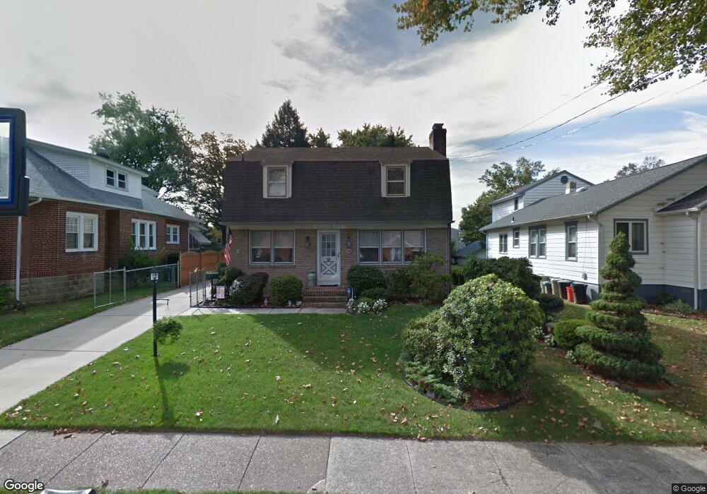
1940 Wayne Ave Haddon Heights, NJ 08035
Estimated Value: $373,443 - $530,000
About This Home
This home is located at 1940 Wayne Ave, Haddon Heights, NJ 08035 and is currently estimated at $463,611, approximately $276 per square foot. 1940 Wayne Ave is a home located in Camden County with nearby schools including Haddon Heights Jr Sr High School, Saint Rose of Lima Catholic School, and Brookfield Elementary School.
Ownership History
We collect this data history from publicly available records. To have your information removed, we recommend requesting removal directly through your county’s website.
Purchase Details
Purchase Details
Home Financials for this Owner
Home Financials are based on the most recent Mortgage that was taken out on this home.Home Values in the Area
Average Home Value in this Area
Purchase History
We collect this data history from publicly available records. To have your information removed, we recommend requesting removal directly through your county’s website.
| Date | Buyer | Sale Price | Title Company |
|---|---|---|---|
| -- | None Listed On Document | ||
| -- | None Listed On Document | ||
| $131,900 | -- |
Mortgage History
We collect this data history from publicly available records. To have your information removed, we recommend requesting removal directly through your county’s website.
| Date | Status | Borrower | Loan Amount |
|---|---|---|---|
| Previous Owner | $105,500 |
Tax History
We collect this data history from publicly available records. To have your information removed, we recommend requesting removal directly through your county’s website.
| Year | Tax Paid | Tax Assessment Tax Assessment Total Assessment is a certain percentage of the fair market value that is determined by local assessors to be the total taxable value of land and additions on the property. | Land | Improvement |
|---|---|---|---|---|
| 2025 | $8,430 | $241,400 | $70,000 | $171,400 |
| 2024 | $8,217 | $241,400 | $70,000 | $171,400 |
| 2023 | $8,217 | $241,400 | $70,000 | $171,400 |
| 2022 | $8,196 | $241,400 | $70,000 | $171,400 |
| 2021 | $8,171 | $241,400 | $70,000 | $171,400 |
| 2020 | $8,039 | $241,400 | $70,000 | $171,400 |
| 2019 | $7,903 | $241,400 | $70,000 | $171,400 |
| 2018 | $7,778 | $241,400 | $70,000 | $171,400 |
| 2017 | $7,573 | $241,400 | $70,000 | $171,400 |
| 2016 | $7,454 | $241,400 | $70,000 | $171,400 |
| 2015 | $7,300 | $235,500 | $70,000 | $165,500 |
| 2014 | $6,895 | $235,500 | $70,000 | $165,500 |
Map
- 1938 New Jersey Ave
- 1840 Bryn Mawr Ave
- 1904 S Park Ave
- 1829 Bryn Mawr Ave
- 102 Mount Ephraim Ave
- 12 George St
- 27 George St
- 1826 Maple Ave
- 17 W Buckingham Ave
- 1644 W High St
- 612 W Graisbury Ave
- 20 Washington Ave
- 113 Centre
- 51 Lincoln Ave
- 2 Hendrickson Ave
- 306 Baird Ave
- 600 Maple Ave
- 48 S Oak Ave
- 143 Apple Ave
- 605 Maple Ave
- 1940 Narberth Ave
- 1944 Narberth Ave
- 1936 Narberth Ave
- 1934 Narberth Ave
- 1937 Brynmawr Ave
- 1945 Brynmawr Ave
- 1933 Brynmawr Ave
- 2000 Narberth Ave
- 1930 Narberth Ave
- 1945 Bryn Mawr Ave
- 1931 Brynmawr Ave
- 1939 Narberth Ave
- 1945 Narberth Ave
- 2002 Narberth Ave
- 1935 Narberth Ave
- 2001 Brynmawr Ave
- 1929 Brynmawr Ave
- 1924 Narberth Ave
- 2001 Bryn Mawr Ave
- 1926 Narberth Ave
Ask me questions while you tour the home.