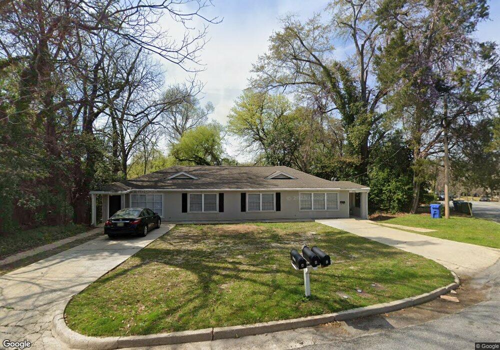
1941 Dimon St Columbus, GA 31906
Peacock Woods-Dimon Circle NeighborhoodEstimated Value: $266,000 - $392,000
About This Home
This home is located at 1941 Dimon St, Columbus, GA 31906 and is currently estimated at $305,329, approximately $164 per square foot. 1941 Dimon St is a home located in Muscogee County with nearby schools including Richards Middle School, Hardaway High School, and Wynnton Elementary School.
Ownership History
We collect this data history from publicly available records. To have your information removed, we recommend requesting removal directly through your county’s website.
Purchase Details
Home Financials for this Owner
Home Financials are based on the most recent Mortgage that was taken out on this home.Home Values in the Area
Average Home Value in this Area
Purchase History
We collect this data history from publicly available records. To have your information removed, we recommend requesting removal directly through your county’s website.
| Date | Buyer | Sale Price | Title Company |
|---|---|---|---|
| $90,000 | -- |
Mortgage History
We collect this data history from publicly available records. To have your information removed, we recommend requesting removal directly through your county’s website.
| Date | Status | Borrower | Loan Amount |
|---|---|---|---|
| Closed | $67,500 |
Tax History
We collect this data history from publicly available records. To have your information removed, we recommend requesting removal directly through your county’s website.
| Year | Tax Paid | Tax Assessment Tax Assessment Total Assessment is a certain percentage of the fair market value that is determined by local assessors to be the total taxable value of land and additions on the property. | Land | Improvement |
|---|---|---|---|---|
| 2025 | $3,787 | $96,732 | $18,336 | $78,396 |
| 2024 | $3,787 | $96,732 | $18,336 | $78,396 |
| 2023 | $3,810 | $96,732 | $18,336 | $78,396 |
| 2022 | $3,627 | $88,836 | $18,336 | $70,500 |
| 2021 | $3,168 | $77,580 | $18,336 | $59,244 |
| 2020 | $3,168 | $77,580 | $18,336 | $59,244 |
| 2019 | $3,179 | $77,580 | $18,336 | $59,244 |
| 2018 | $3,179 | $77,580 | $18,336 | $59,244 |
| 2017 | $3,189 | $77,580 | $18,336 | $59,244 |
| 2016 | $2,249 | $54,522 | $4,900 | $49,622 |
| 2015 | $901 | $54,522 | $4,900 | $49,622 |
| 2014 | $902 | $54,522 | $4,900 | $49,622 |
| 2013 | -- | $54,522 | $4,900 | $49,622 |
Map
- 1620 Springer St
- 1261 Owsley Ave
- 1255 Cedar Ave Unit 5
- 1254 18th Ave
- 2134 13th St
- 1710 Boulevard St
- 1427 16th Ave
- 1242 18th Ave
- 2223 15th St
- 1205 Munro Ave
- 1680 Flournoy Dr
- 2217 13th St
- 1228 Cedar Ave
- 1648 17th Ave
- 1702 Richards St
- 1215 18th Ave
- 1808 Forest Ave
- 2551 Wynnton Rd
- 1500 E Dinglewood Dr
- 2108 Young St
- 1937 Dimon St
- 1411 Eberhart Ave
- 1415 Eberhart Ave
- 1933 Dimon St
- 1424 Cherokee Ave
- 1934 Dimon St
- 1347 Eberhart Ave
- 1421 Eberhart Ave
- 1422 Cherokee Ave
- 1434 Cherokee Ave
- 1925 Dimon St
- 1420 Cherokee Ave
- 1341 Eberhart Ave
- 1440 Cherokee Ave Unit SI ID1043452P
- 1440 Cherokee Ave Unit ID1043452P
- 1440 Cherokee Ave
- 2000 Poplar Dr
- 1414 Cherokee Ave
- 2001 Dimon St
- 1427 Eberhart Ave
Ask me questions while you tour the home.